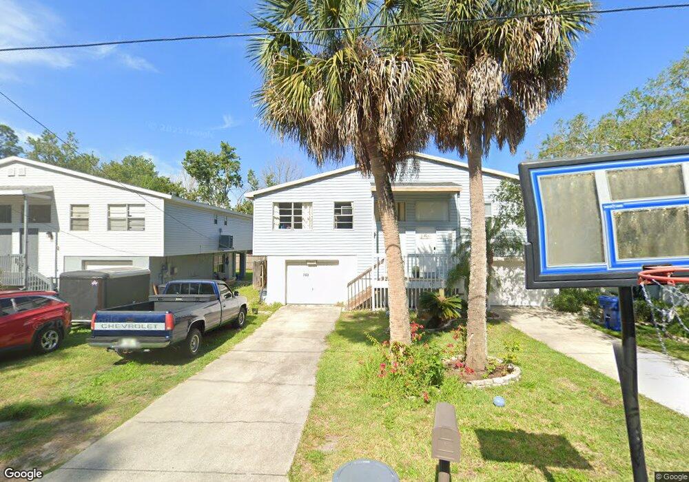
7033 Oakwood Dr New Port Richey, FL 34652
New Port Richey West NeighborhoodEstimated Value: $134,000 - $185,000
--
Bed
1
Bath
932
Sq Ft
$168/Sq Ft
Est. Value
About This Home
This home is located at 7033 Oakwood Dr, New Port Richey, FL 34652 and is currently estimated at $156,390, approximately $167 per square foot. 7033 Oakwood Dr is a home located in Pasco County with nearby schools including Richey Elementary School, Gulf Middle School, and Gulf High School.
Ownership History
Date
Name
Owned For
Owner Type
Purchase Details
Closed on
Sep 9, 2003
Sold by
Gilbert Margaret E
Bought by
Derry Scott I and Derry Nickcole R
Current Estimated Value
Home Financials for this Owner
Home Financials are based on the most recent Mortgage that was taken out on this home.
Original Mortgage
$52,865
Outstanding Balance
$24,017
Interest Rate
5.94%
Mortgage Type
Purchase Money Mortgage
Estimated Equity
$132,373
Create a Home Valuation Report for This Property
The Home Valuation Report is an in-depth analysis detailing your home's value as well as a comparison with similar homes in the area
Home Values in the Area
Average Home Value in this Area
Purchase History
| Date | Buyer | Sale Price | Title Company |
|---|---|---|---|
| Derry Scott I | $54,500 | Master Title Service Inc |
Source: Public Records
Mortgage History
| Date | Status | Borrower | Loan Amount |
|---|---|---|---|
| Open | Derry Scott I | $52,865 |
Source: Public Records
Tax History Compared to Growth
Tax History
| Year | Tax Paid | Tax Assessment Tax Assessment Total Assessment is a certain percentage of the fair market value that is determined by local assessors to be the total taxable value of land and additions on the property. | Land | Improvement |
|---|---|---|---|---|
| 2025 | $622 | $39,830 | -- | -- |
| 2024 | $622 | $38,710 | -- | -- |
| 2023 | $595 | $37,590 | $0 | $0 |
| 2022 | $500 | $36,500 | $0 | $0 |
| 2021 | $441 | $35,440 | $6,930 | $28,510 |
| 2020 | $426 | $34,960 | $6,930 | $28,030 |
| 2019 | $403 | $34,180 | $0 | $0 |
| 2018 | $383 | $33,551 | $0 | $0 |
| 2017 | $370 | $33,551 | $0 | $0 |
| 2016 | $349 | $32,185 | $0 | $0 |
| 2015 | $346 | $31,961 | $0 | $0 |
| 2014 | $341 | $33,451 | $4,442 | $29,009 |
Source: Public Records
Map
Nearby Homes
- 7036 Oelsner St
- 4929 Ladyfish Ct
- 7132 Oelsner St
- 7040 Morningstar Ln
- 7139 Pinewood Dr
- 4940 Amherst Ct
- 7041 Morningstar Ln
- 7208 Oelsner St
- 4928 Amherst Ct
- 7214 Oakwood Dr
- 4946 Avery Rd
- 7205 Morningstar Ln
- 5113 Avery Rd
- 7242 Oelsner St
- 4929 Avery Rd
- 6975 Edgewater Dr
- 6977 Edgewater Dr
- 6981 Edgewater Dr
- 6836 Edgewater Dr
- 0 Brightwaters Ct Unit MFRU8217541
- 7035 Oakwood Dr
- 7029 Oakwood Dr
- 7039 Oakwood Dr
- 7027 Oakwood Dr
- 7041 Oakwood Dr
- 7023 Oakwood Dr
- 7032 Oelsner St
- 7030 Oelsner St
- 7021 Oakwood Dr
- 7026 Oelsner St
- 7038 Oelsner St
- 7045 Oakwood Dr
- 7107 Lot #13 Oakwood Dr
- 7022 Oelsner St
- 7017 Oakwood Dr
- 7020 Oelsner St
- 12 Oakwood Dr
- 7015 Oakwood Dr
- 7014 Oelsner St
- 7107 Lot #12 Oakwood Dr