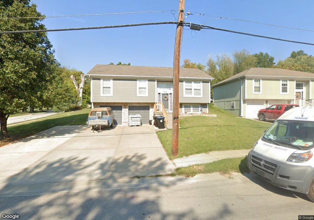
705 Pine St Pleasant Hill, MO 64080
Estimated Value: $182,000 - $263,000
3
Beds
1
Bath
1,118
Sq Ft
$202/Sq Ft
Est. Value
About This Home
This home is located at 705 Pine St, Pleasant Hill, MO 64080 and is currently estimated at $226,255, approximately $202 per square foot. 705 Pine St is a home located in Cass County with nearby schools including Pleasant Hill Primary School, Pleasant Hill Elementary School, and Pleasant Hill Middle School.
Ownership History
Date
Name
Owned For
Owner Type
Purchase Details
Closed on
Oct 14, 2005
Sold by
Ross Nick D and Ross Karin S
Bought by
Wyse Ryan A
Current Estimated Value
Home Financials for this Owner
Home Financials are based on the most recent Mortgage that was taken out on this home.
Original Mortgage
$62,694
Outstanding Balance
$33,324
Interest Rate
5.65%
Mortgage Type
New Conventional
Estimated Equity
$192,931
Purchase Details
Closed on
Apr 4, 2005
Sold by
Ross Dennis W and Ross Mary
Bought by
Ross Nick D and Ross Karin S
Home Financials for this Owner
Home Financials are based on the most recent Mortgage that was taken out on this home.
Original Mortgage
$96,800
Interest Rate
5.89%
Mortgage Type
Construction
Create a Home Valuation Report for This Property
The Home Valuation Report is an in-depth analysis detailing your home's value as well as a comparison with similar homes in the area
Home Values in the Area
Average Home Value in this Area
Purchase History
| Date | Buyer | Sale Price | Title Company |
|---|---|---|---|
| Wyse Ryan A | -- | -- | |
| Ross Nick D | -- | -- |
Source: Public Records
Mortgage History
| Date | Status | Borrower | Loan Amount |
|---|---|---|---|
| Open | Wyse Ryan A | $62,694 | |
| Previous Owner | Ross Nick D | $96,800 |
Source: Public Records
Tax History Compared to Growth
Tax History
| Year | Tax Paid | Tax Assessment Tax Assessment Total Assessment is a certain percentage of the fair market value that is determined by local assessors to be the total taxable value of land and additions on the property. | Land | Improvement |
|---|---|---|---|---|
| 2024 | $1,905 | $26,410 | $1,500 | $24,910 |
| 2023 | $1,891 | $26,410 | $1,500 | $24,910 |
| 2022 | $1,727 | $23,670 | $1,500 | $22,170 |
| 2021 | $1,680 | $23,670 | $1,500 | $22,170 |
| 2020 | $1,604 | $23,150 | $1,500 | $21,650 |
| 2019 | $1,582 | $23,150 | $1,500 | $21,650 |
| 2018 | $1,437 | $20,740 | $1,200 | $19,540 |
| 2017 | $1,361 | $20,740 | $1,200 | $19,540 |
| 2016 | $1,361 | $19,570 | $1,200 | $18,370 |
| 2015 | $1,379 | $19,570 | $1,200 | $18,370 |
| 2014 | $1,385 | $19,570 | $1,200 | $18,370 |
| 2013 | -- | $19,570 | $1,200 | $18,370 |
Source: Public Records
Map
Nearby Homes
- 802 Pine St
- 0 Locust St
- 213 Sitter St
- 201 Sitter St
- 105 N Campbell St
- 1704 Mulberry St
- 1700 Mulberry St
- 122 N Taylor St
- 0 Route 7
- 313 Clearview Dr
- 207 Lexington Rd
- 204 Lexington Rd
- 218 N Boardman St
- 418 N Taylor St
- 502 N Armstrong St
- 501 Lexington Rd
- 1209 Crest Dr
- 18201 S Hill Top Rd
- 1413 Country Club Dr
- 26400 E State Route 58
- 214 S Randolph St
- 707 Pine St
- 208 S Randolph St
- 709 Pine St
- 714 Pine St
- 221 S Randolph St
- 219 S Randolph St
- 101 Sitter St
- 700 Pine St
- 207 S Armstrong St
- 700 Locust St
- 708 Locust St
- 114 Patterson St
- 116 Patterson St
- 806 Pine St
- 203 S Randolph St
- 226 S Jeffreys St
- 220 S Jeffreys St
- 810 Pine St
- 220 S Armstrong N A