7072 Mount Auburn Rd Decatur, IL 62521
Estimated Value: $198,000 - $383,000
--
Bed
1
Bath
1,756
Sq Ft
$170/Sq Ft
Est. Value
About This Home
This home is located at 7072 Mount Auburn Rd, Decatur, IL 62521 and is currently estimated at $298,338, approximately $169 per square foot. 7072 Mount Auburn Rd is a home located in Macon County with nearby schools including Meridian Middle School and Meridian High School.
Ownership History
Date
Name
Owned For
Owner Type
Purchase Details
Closed on
Jun 1, 2018
Sold by
Koshinski Cynthia L
Bought by
Hart James D and Hart Betty L
Current Estimated Value
Home Financials for this Owner
Home Financials are based on the most recent Mortgage that was taken out on this home.
Original Mortgage
$205,000
Outstanding Balance
$174,741
Interest Rate
3.88%
Mortgage Type
New Conventional
Estimated Equity
$123,597
Purchase Details
Closed on
Mar 1, 1987
Create a Home Valuation Report for This Property
The Home Valuation Report is an in-depth analysis detailing your home's value as well as a comparison with similar homes in the area
Home Values in the Area
Average Home Value in this Area
Purchase History
| Date | Buyer | Sale Price | Title Company |
|---|---|---|---|
| Hart James D | $205,000 | First Illinois Title | |
| -- | $64,900 | -- |
Source: Public Records
Mortgage History
| Date | Status | Borrower | Loan Amount |
|---|---|---|---|
| Open | Hart James D | $205,000 |
Source: Public Records
Tax History Compared to Growth
Tax History
| Year | Tax Paid | Tax Assessment Tax Assessment Total Assessment is a certain percentage of the fair market value that is determined by local assessors to be the total taxable value of land and additions on the property. | Land | Improvement |
|---|---|---|---|---|
| 2024 | $5,400 | $77,705 | $13,297 | $64,408 |
| 2023 | $5,084 | $70,455 | $12,056 | $58,399 |
| 2022 | $4,738 | $63,973 | $10,947 | $53,026 |
| 2021 | $4,692 | $60,765 | $10,398 | $50,367 |
| 2020 | $4,508 | $57,262 | $9,798 | $47,464 |
| 2019 | $4,508 | $57,262 | $9,798 | $47,464 |
| 2018 | $3,914 | $55,904 | $9,566 | $46,338 |
| 2017 | $3,919 | $56,139 | $9,606 | $46,533 |
| 2016 | $3,952 | $56,071 | $9,594 | $46,477 |
| 2015 | $3,803 | $54,438 | $9,315 | $45,123 |
| 2014 | $3,655 | $53,899 | $9,223 | $44,676 |
| 2013 | $3,800 | $53,899 | $9,223 | $44,676 |
Source: Public Records
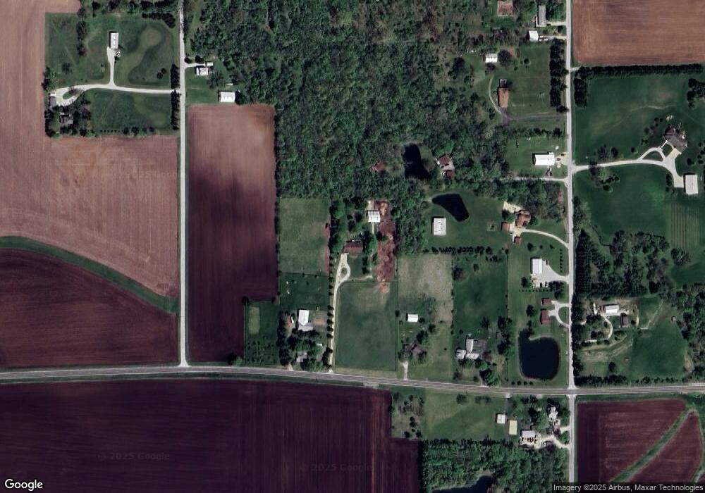
Map
Nearby Homes
- 3335 Nevada Rd
- 3247 Nevada Rd
- 6449 S Route 48
- 5180 W Cantrell St
- 0 W Wood St
- 275 N Camp St
- 7450 W William St
- 0 W Harristown Blvd Unit 6251050
- 445 S Wyckles Rd
- 3031 Heritage Rd
- 2529 W Alice Ln
- 2207 Forest Crest Dr
- 3316 Ferris Dr
- 1833 Burning Tree Dr
- 1745 Heritage Rd
- 1739 Moorwood Dr
- 15 Calumet Rd
- 170 S Hillcrest Blvd
- 2970 Olympia Dr
- 468 N Megan Dr
- 7082 Mount Auburn Rd
- 7018 Mount Auburn Rd
- 3373 Nevada Rd
- 6960 Mount Auburn Rd
- 3415 Nevada Rd
- 3451 Nevada Rd
- 3335 Nevada Rd
- 3240 Saddle Trek Rd
- 3533 Nevada Rd
- 3458 Nevada Rd
- 3275 Nevada Rd
- 3265 Saddle Trek Rd
- 3370 Nevada Rd
- 3161 Nevada Rd
- 3090 Saddle Trek Rd
- 3093 Saddle Trek Rd
- 3129 Nevada Rd
- 3093 Nevada Rd
- 3001 Nevada Rd
- 2976 Saddle Trek Rd