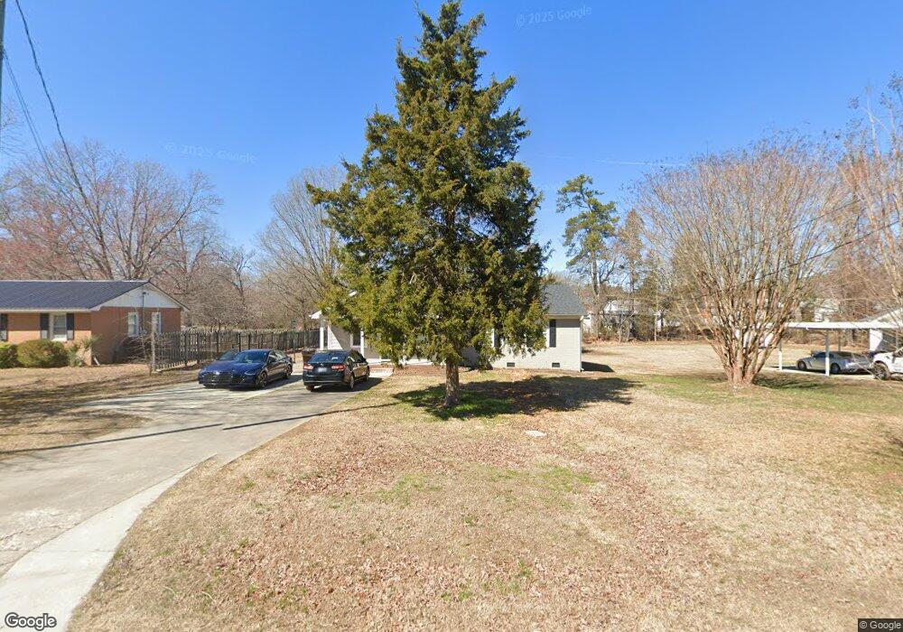
709 Frank St Roxboro, NC 27573
Estimated Value: $252,000 - $278,000
4
Beds
2
Baths
1,760
Sq Ft
$149/Sq Ft
Est. Value
About This Home
This home is located at 709 Frank St, Roxboro, NC 27573 and is currently estimated at $261,694, approximately $148 per square foot. 709 Frank St is a home located in Person County with nearby schools including Person High School, Roxboro Community School, and Roxboro Christian Academy.
Ownership History
Date
Name
Owned For
Owner Type
Purchase Details
Closed on
Jan 24, 2020
Sold by
Gates Sue E and Dupree Steven R
Bought by
Eller Amber
Current Estimated Value
Home Financials for this Owner
Home Financials are based on the most recent Mortgage that was taken out on this home.
Original Mortgage
$181,313
Outstanding Balance
$160,505
Interest Rate
3.7%
Mortgage Type
New Conventional
Estimated Equity
$101,189
Purchase Details
Closed on
Jul 15, 2019
Sold by
Murphy Danny James and Murphy Danny James
Bought by
Gates Sue E
Purchase Details
Closed on
Aug 14, 1986
Bought by
Chandler Marcia
Create a Home Valuation Report for This Property
The Home Valuation Report is an in-depth analysis detailing your home's value as well as a comparison with similar homes in the area
Home Values in the Area
Average Home Value in this Area
Purchase History
| Date | Buyer | Sale Price | Title Company |
|---|---|---|---|
| Eller Amber | $179,500 | None Available | |
| Gates Sue E | $39,500 | None Available | |
| Chandler Marcia | $4,500 | -- |
Source: Public Records
Mortgage History
| Date | Status | Borrower | Loan Amount |
|---|---|---|---|
| Open | Eller Amber | $181,313 |
Source: Public Records
Tax History Compared to Growth
Tax History
| Year | Tax Paid | Tax Assessment Tax Assessment Total Assessment is a certain percentage of the fair market value that is determined by local assessors to be the total taxable value of land and additions on the property. | Land | Improvement |
|---|---|---|---|---|
| 2025 | $3,033 | $219,763 | $0 | $0 |
| 2024 | $2,664 | $174,991 | $0 | $0 |
| 2023 | $2,664 | $174,991 | $0 | $0 |
| 2022 | $2,485 | $174,991 | $0 | $0 |
| 2021 | $2,397 | $174,991 | $0 | $0 |
| 2020 | $540 | $38,837 | $0 | $0 |
| 2019 | $731 | $38,292 | $0 | $0 |
| 2018 | $1,331 | $97,168 | $0 | $0 |
| 2017 | $1,331 | $97,168 | $0 | $0 |
| 2016 | $1,331 | $97,168 | $0 | $0 |
| 2015 | $1,321 | $97,168 | $0 | $0 |
| 2014 | $1,321 | $97,168 | $0 | $0 |
Source: Public Records
Map
Nearby Homes
- 814 Frank St
- 167.10 Leasburg Rd
- 41 Lakewood Dr
- 305 W Barden St
- 421 S Morgan St
- 2 Semora Rd
- 7710 Leasburg Rd
- 131 Rosewood Dr
- 135 Hill St
- 531 Booth St
- 133 Hill St
- 208 S Morgan St
- 209 Reade Dr
- 240 Crestwood Dr
- 307 W Gordon St
- 205 Gentry St
- 156 Southern Middle School Rd
- 50 Southern Village Dr
- 305 Lochridge Dr
- 515 Reams Ave