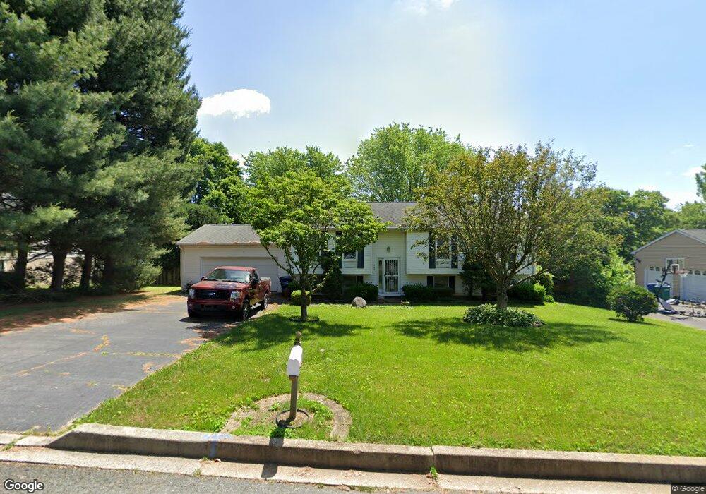
709 Paul Dr Aberdeen, MD 21001
Estimated Value: $308,000 - $394,000
--
Bed
2
Baths
1,182
Sq Ft
$293/Sq Ft
Est. Value
About This Home
This home is located at 709 Paul Dr, Aberdeen, MD 21001 and is currently estimated at $346,250, approximately $292 per square foot. 709 Paul Dr is a home located in Harford County with nearby schools including Roye-Williams Elementary School, Aberdeen Middle School, and Aberdeen High School.
Ownership History
Date
Name
Owned For
Owner Type
Purchase Details
Closed on
Jun 29, 1987
Sold by
Bradford Land Co Inc
Bought by
Matthews Frederick C and Matthews Sylvia E
Current Estimated Value
Home Financials for this Owner
Home Financials are based on the most recent Mortgage that was taken out on this home.
Original Mortgage
$81,900
Interest Rate
10.35%
Purchase Details
Closed on
Apr 29, 1986
Sold by
Royal Exchange Inc
Bought by
Bradford Land Co Inc
Create a Home Valuation Report for This Property
The Home Valuation Report is an in-depth analysis detailing your home's value as well as a comparison with similar homes in the area
Home Values in the Area
Average Home Value in this Area
Purchase History
| Date | Buyer | Sale Price | Title Company |
|---|---|---|---|
| Matthews Frederick C | $81,900 | -- | |
| Bradford Land Co Inc | $32,000 | -- |
Source: Public Records
Mortgage History
| Date | Status | Borrower | Loan Amount |
|---|---|---|---|
| Closed | Matthews Frederick C | $81,900 |
Source: Public Records
Tax History Compared to Growth
Tax History
| Year | Tax Paid | Tax Assessment Tax Assessment Total Assessment is a certain percentage of the fair market value that is determined by local assessors to be the total taxable value of land and additions on the property. | Land | Improvement |
|---|---|---|---|---|
| 2025 | $2,182 | $247,900 | $0 | $0 |
| 2024 | $2,182 | $232,700 | $0 | $0 |
| 2023 | $2,073 | $217,500 | $78,000 | $139,500 |
| 2022 | $1,011 | $212,067 | $0 | $0 |
| 2021 | $1,012 | $206,633 | $0 | $0 |
| 2020 | $1,012 | $201,200 | $78,000 | $123,200 |
| 2019 | $2,023 | $201,200 | $78,000 | $123,200 |
| 2018 | $2,005 | $201,200 | $78,000 | $123,200 |
| 2017 | $2,008 | $201,500 | $0 | $0 |
| 2016 | -- | $201,500 | $0 | $0 |
| 2015 | $2,319 | $201,500 | $0 | $0 |
| 2014 | $2,319 | $217,800 | $0 | $0 |
Source: Public Records
Map
Nearby Homes
- 735 Marian Dr
- 606 Southgate Rd
- 753 Gilbert Rd
- 650 Brenda Ln
- 760 Gilbert Rd
- 35 Hillman Ct
- 724 Aldora Dr
- 952 Poppy Dr
- 834 Gilbert Rd
- 305 Mount Royal Ave
- 296 Paradise Rd
- 3637 Dexter Ct Unit 158
- Gilbert Meadows
- Sophie Plan at Gilbert Meadows
- Harper Plan at Gilbert Meadows
- TBD-SOPHIE Dexter Ct
- 642 Westwood Dr
- 638 Westwood Dr
- 3636 Dexter Ct Unit HARPER-142
- HARPER Dexter Ct Unit TBB