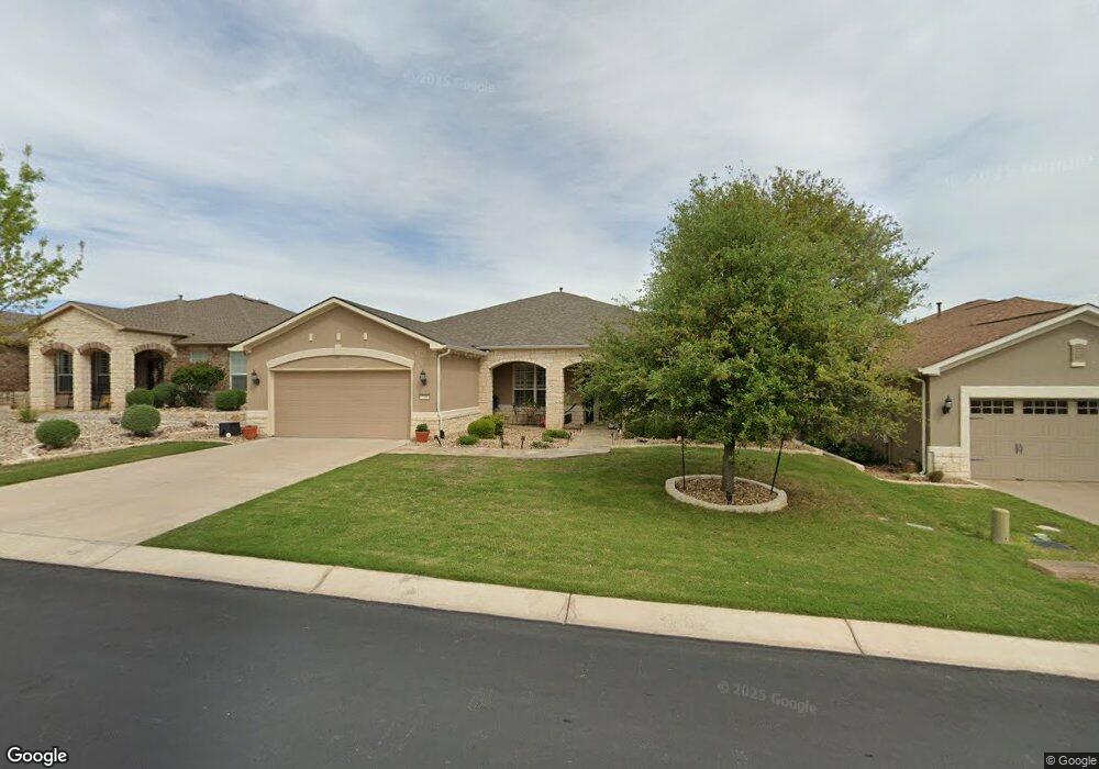
709 Shumard Peak Rd Georgetown, TX 78633
Sun City NeighborhoodEstimated Value: $572,960 - $682,000
--
Bed
--
Bath
2,515
Sq Ft
$253/Sq Ft
Est. Value
About This Home
This home is located at 709 Shumard Peak Rd, Georgetown, TX 78633 and is currently estimated at $635,990, approximately $252 per square foot. 709 Shumard Peak Rd is a home.
Ownership History
Date
Name
Owned For
Owner Type
Purchase Details
Closed on
Jan 18, 2013
Sold by
Del Webb Texas Limited Partnership
Bought by
Flores Eglia C and Flores Stanley G
Current Estimated Value
Home Financials for this Owner
Home Financials are based on the most recent Mortgage that was taken out on this home.
Original Mortgage
$200,000
Outstanding Balance
$139,385
Interest Rate
3.42%
Mortgage Type
New Conventional
Estimated Equity
$496,605
Create a Home Valuation Report for This Property
The Home Valuation Report is an in-depth analysis detailing your home's value as well as a comparison with similar homes in the area
Home Values in the Area
Average Home Value in this Area
Purchase History
| Date | Buyer | Sale Price | Title Company |
|---|---|---|---|
| Flores Eglia C | -- | None Available |
Source: Public Records
Mortgage History
| Date | Status | Borrower | Loan Amount |
|---|---|---|---|
| Open | Flores Eglia C | $200,000 |
Source: Public Records
Tax History Compared to Growth
Tax History
| Year | Tax Paid | Tax Assessment Tax Assessment Total Assessment is a certain percentage of the fair market value that is determined by local assessors to be the total taxable value of land and additions on the property. | Land | Improvement |
|---|---|---|---|---|
| 2025 | $5,959 | $637,064 | -- | -- |
| 2024 | $5,959 | $579,149 | -- | -- |
| 2023 | $5,706 | $526,499 | $0 | $0 |
| 2022 | $9,397 | $478,635 | $0 | $0 |
| 2021 | $9,502 | $435,123 | $65,000 | $451,147 |
| 2020 | $8,773 | $395,566 | $57,150 | $338,416 |
| 2019 | $9,953 | $434,988 | $55,640 | $379,348 |
| 2018 | $8,372 | $419,396 | $55,640 | $363,756 |
| 2017 | $9,142 | $395,844 | $52,000 | $343,844 |
| 2016 | $8,860 | $399,850 | $38,900 | $360,950 |
| 2015 | $8,379 | $383,754 | $38,900 | $344,854 |
| 2014 | $8,379 | $371,438 | $0 | $0 |
Source: Public Records
Map
Nearby Homes
- Delta Plan at Parmer Ranch
- Somerset Plan at Parmer Ranch
- Zavalla Plan at Parmer Ranch
- Hart Plan at Parmer Ranch
- Asherton Plan at Parmer Ranch
- Wichita Plan at Parmer Ranch
- Hideaway Plan at Parmer Ranch
- Gallatin Plan at Parmer Ranch
- Haskell Plan at Parmer Ranch
- Willis Plan at Parmer Ranch
- Troy Plan at Parmer Ranch
- Schertz Plan at Parmer Ranch
- Goodrich Plan at Parmer Ranch
- Groveton Plan at Parmer Ranch
- Brookshire Plan at Parmer Ranch
- 209 Old Blue Mountain Ln
- 706 Kite Ridge St
- 130 Old Blue Mountain Ln
- 608 Kite Ridge St
- 226 Fairway Ridge Rd
- 711 Shumard Peak Rd
- 707 Shumard Peak Rd
- 705 Shumard Peak Rd
- 903 Glass Mountain Cove
- 905 Glass Mountain Cove
- 901 Glass Mountain Cove
- 708 Shumard Peak Rd
- 710 Shumard Peak Rd
- 706 Shumard Peak Rd
- 907 Glass Mountain Cove
- 703 Shumard Peak Rd
- 712 Shumard Peak Rd
- 200 Star Mountain Ln
- 202 Star Mountain Ln
- 704 Shumard Peak Rd
- 204 Star Mountain Ln
- 800 Shumard Peak Rd
- 702 Shumard Peak Rd
- 909 Glass Mountain Cove
- 206 Star Mountain Ln