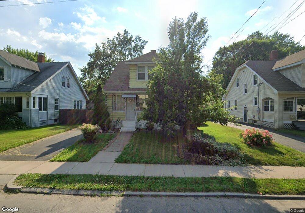
71 Monroe St Hartford, CT 06114
South West NeighborhoodEstimated Value: $277,000 - $305,000
3
Beds
2
Baths
1,396
Sq Ft
$213/Sq Ft
Est. Value
About This Home
This home is located at 71 Monroe St, Hartford, CT 06114 and is currently estimated at $297,598, approximately $213 per square foot. 71 Monroe St is a home located in Hartford County with nearby schools including Kennelly School, Environmental Sciences Magnet School at Mary Hooker, and Sanchez School.
Ownership History
Date
Name
Owned For
Owner Type
Purchase Details
Closed on
Aug 5, 2013
Sold by
Mcpherson Lorrie A
Bought by
Wynter Lorrie A
Current Estimated Value
Home Financials for this Owner
Home Financials are based on the most recent Mortgage that was taken out on this home.
Original Mortgage
$176,177
Outstanding Balance
$135,000
Interest Rate
5.25%
Mortgage Type
FHA
Estimated Equity
$162,598
Purchase Details
Closed on
Sep 24, 2003
Sold by
Lagana Joseph and Lagana Maureen
Bought by
Mcpherson Lorrie
Create a Home Valuation Report for This Property
The Home Valuation Report is an in-depth analysis detailing your home's value as well as a comparison with similar homes in the area
Home Values in the Area
Average Home Value in this Area
Purchase History
| Date | Buyer | Sale Price | Title Company |
|---|---|---|---|
| Wynter Lorrie A | -- | -- | |
| Wynter Lorrie A | -- | -- | |
| Mcpherson Lorrie | $161,500 | -- | |
| Mcpherson Lorrie | $161,500 | -- |
Source: Public Records
Mortgage History
| Date | Status | Borrower | Loan Amount |
|---|---|---|---|
| Open | Mcpherson Lorrie | $176,177 | |
| Closed | Mcpherson Lorrie | $176,177 | |
| Previous Owner | Mcpherson Lorrie | $187,166 |
Source: Public Records
Tax History Compared to Growth
Tax History
| Year | Tax Paid | Tax Assessment Tax Assessment Total Assessment is a certain percentage of the fair market value that is determined by local assessors to be the total taxable value of land and additions on the property. | Land | Improvement |
|---|---|---|---|---|
| 2025 | $4,320 | $62,659 | $7,865 | $54,794 |
| 2024 | $4,320 | $62,659 | $7,865 | $54,794 |
| 2023 | $4,320 | $62,659 | $7,865 | $54,794 |
| 2022 | $4,320 | $62,659 | $7,865 | $54,794 |
| 2021 | $3,315 | $44,625 | $10,815 | $33,810 |
| 2020 | $3,315 | $44,625 | $10,815 | $33,810 |
| 2019 | $3,315 | $44,625 | $10,815 | $33,810 |
| 2018 | $3,203 | $43,121 | $10,451 | $32,670 |
| 2016 | $3,281 | $44,160 | $9,953 | $34,207 |
| 2015 | $3,281 | $42,062 | $9,480 | $32,582 |
| 2014 | $3,048 | $41,034 | $9,248 | $31,786 |
Source: Public Records
Map
Nearby Homes
- 510 New Britain Ave
- 147 Newbury St Unit 149
- 87 Grandview Terrace Unit 89
- 405 W Preston St Unit 407
- 60 Coolidge St
- 49 Newbury St Unit 51
- 90 Harwich St Unit 92
- 452 Broadview Terrace
- 50 Harwich St
- 111 Coolidge St
- 110 Coolidge St
- 120 Nilan St
- 634 New Britain Ave
- 647 Broadview Terrace
- 89 Sequin St
- 46 Arlington St Unit 48
- 73 Mountford St Unit 3B
- 77 Mountford St
- 69 Mountford St Unit 3A
- 148 Princeton St
- 75 Monroe St
- 65 Monroe St
- 61 Monroe St
- 81 Monroe St
- 462 Hillside Ave Unit 464
- 55 Monroe St
- 85 Monroe St
- 454 Hillside Ave Unit 456
- 72 Monroe St
- 460 Hillside Ave Unit 2
- 68 Monroe St
- 78 Monroe St
- 458 Hillside Ave Unit 460
- 51 Monroe St
- 466 Hillside Ave Unit 468
- 91 Monroe St
- 62 Monroe St
- 450 Hillside Ave Unit 452
- 470 Hillside Ave Unit 472
- 82 Monroe St