71 Quanopaug Trail Woodbury, CT 06798
Estimated Value: $403,274 - $525,000
3
Beds
2
Baths
1,168
Sq Ft
$390/Sq Ft
Est. Value
About This Home
This home is located at 71 Quanopaug Trail, Woodbury, CT 06798 and is currently estimated at $455,069, approximately $389 per square foot. 71 Quanopaug Trail is a home located in Litchfield County with nearby schools including Mitchell Elementary School, Bethlehem Elementary School, and Woodbury Middle School.
Ownership History
Date
Name
Owned For
Owner Type
Purchase Details
Closed on
Oct 12, 1990
Sold by
Mcguire Clarke F
Bought by
Cressia Ellery S
Current Estimated Value
Home Financials for this Owner
Home Financials are based on the most recent Mortgage that was taken out on this home.
Original Mortgage
$155,800
Interest Rate
10.18%
Create a Home Valuation Report for This Property
The Home Valuation Report is an in-depth analysis detailing your home's value as well as a comparison with similar homes in the area
Home Values in the Area
Average Home Value in this Area
Purchase History
| Date | Buyer | Sale Price | Title Company |
|---|---|---|---|
| Cressia Ellery S | $164,000 | -- |
Source: Public Records
Mortgage History
| Date | Status | Borrower | Loan Amount |
|---|---|---|---|
| Closed | Cressia Ellery S | $125,000 | |
| Closed | Cressia Ellery S | $144,000 | |
| Closed | Cressia Ellery S | $155,800 | |
| Previous Owner | Cressia Ellery S | $29,000 |
Source: Public Records
Tax History Compared to Growth
Tax History
| Year | Tax Paid | Tax Assessment Tax Assessment Total Assessment is a certain percentage of the fair market value that is determined by local assessors to be the total taxable value of land and additions on the property. | Land | Improvement |
|---|---|---|---|---|
| 2025 | $5,132 | $217,280 | $70,770 | $146,510 |
| 2024 | $5,034 | $217,280 | $70,770 | $146,510 |
| 2023 | $4,762 | $163,880 | $70,780 | $93,100 |
| 2022 | $4,780 | $163,880 | $70,780 | $93,100 |
| 2021 | $4,780 | $163,880 | $70,780 | $93,100 |
| 2020 | $4,780 | $163,880 | $70,780 | $93,100 |
| 2019 | $4,780 | $163,880 | $70,780 | $93,100 |
| 2018 | $4,975 | $187,170 | $87,290 | $99,880 |
| 2017 | $5,084 | $187,170 | $87,290 | $99,880 |
| 2016 | $4,921 | $187,170 | $87,290 | $99,880 |
| 2015 | $4,880 | $187,170 | $87,290 | $99,880 |
| 2014 | $4,434 | $172,580 | $87,280 | $85,300 |
Source: Public Records
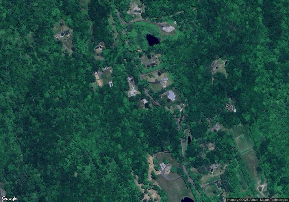
Map
Nearby Homes
- 819 Main St N
- 148 Flanders Rd
- 38 Barnhill Rd
- 523 Main St N
- 509 Main St N
- 94 Old Town Farm Rd
- 101 Plumb Brook Rd
- 105 Minortown Rd
- 92 Minortown Rd
- 45 N Gate Rd
- 437 Middle Road Turnpike
- 393 Middle Road Turnpike
- 18 Woodbury Hill
- 0 Cowles Rd
- 90 Rowley Rd
- 0 Main St N Unit 24072824
- 174 Weekeepeemee Rd
- 74 Washington Rd Unit 16
- 2 Linden Rd
- 10 Lake Rd
- 79 Quanopaug Trail
- 74 Quanopaug Trail
- 66 Quanopaug Trail
- 84 Quanopaug Trail
- 87 Quanopaug Trail
- 56 Quanopaug Trail
- 48 Quanopaug Trail
- 39 Quanopaug Trail
- 25 & 39 Quanopaug Trail
- 104 Quanopaug Trail
- 80 Quanopaug Trail
- 99 Quanopaug Trail
- 50 Quanopaug Trail
- 30 Quanopaug Trail
- 106 Quanopaug Trail
- 91 Quanopaug Trail
- 24 Quanopaug Trail
- 119 Quanopaug Trail
- 16 Quanopaug Trail
- 108 Quanopaug Trail