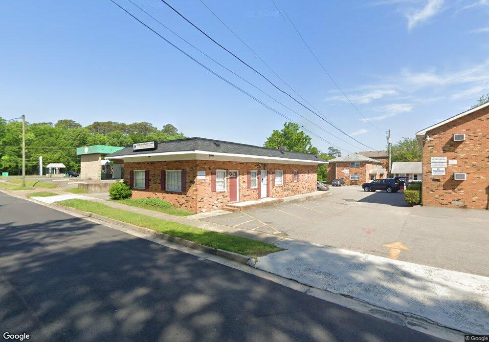
710 Lesner Ave Norfolk, VA 23518
Colonial Heights NeighborhoodEstimated Value: $181,846
--
Bed
--
Bath
1,617
Sq Ft
$112/Sq Ft
Est. Value
About This Home
This home is located at 710 Lesner Ave, Norfolk, VA 23518 and is currently estimated at $181,846, approximately $112 per square foot. 710 Lesner Ave is a home located in Norfolk City with nearby schools including Crossroads School, Norview Middle School, and Norview High School.
Ownership History
Date
Name
Owned For
Owner Type
Purchase Details
Closed on
May 1, 2025
Sold by
Wilson John D
Bought by
Llewellyn Curtis W
Current Estimated Value
Purchase Details
Closed on
May 1, 2017
Sold by
Johnson James Justin and Johnson Gail T
Bought by
Wilson John D
Home Financials for this Owner
Home Financials are based on the most recent Mortgage that was taken out on this home.
Original Mortgage
$161,500
Interest Rate
4.23%
Mortgage Type
Commercial
Create a Home Valuation Report for This Property
The Home Valuation Report is an in-depth analysis detailing your home's value as well as a comparison with similar homes in the area
Home Values in the Area
Average Home Value in this Area
Purchase History
| Date | Buyer | Sale Price | Title Company |
|---|---|---|---|
| Llewellyn Curtis W | $180,000 | Fidelity National Title | |
| Wilson John D | $165,000 | Attorney |
Source: Public Records
Mortgage History
| Date | Status | Borrower | Loan Amount |
|---|---|---|---|
| Previous Owner | Wilson John D | $161,500 |
Source: Public Records
Tax History Compared to Growth
Tax History
| Year | Tax Paid | Tax Assessment Tax Assessment Total Assessment is a certain percentage of the fair market value that is determined by local assessors to be the total taxable value of land and additions on the property. | Land | Improvement |
|---|---|---|---|---|
| 2025 | $2,160 | $172,800 | $43,500 | $129,300 |
| 2024 | $2,125 | $172,800 | $43,500 | $129,300 |
| 2023 | $2,085 | $166,800 | $43,500 | $123,300 |
| 2022 | $2,025 | $162,000 | $43,500 | $118,500 |
| 2021 | $2,025 | $162,000 | $43,500 | $118,500 |
| 2020 | $2,025 | $162,000 | $38,000 | $124,000 |
| 2019 | $1,984 | $158,700 | $38,000 | $120,700 |
| 2018 | $1,984 | $158,700 | $38,000 | $120,700 |
| 2017 | $1,397 | $121,500 | $38,000 | $83,500 |
| 2016 | $1,397 | $111,500 | $29,900 | $81,600 |
| 2015 | $1,302 | $111,500 | $29,900 | $81,600 |
| 2014 | $1,302 | $111,500 | $29,900 | $81,600 |
Source: Public Records
Map
Nearby Homes
- 725 Mayfield Ave
- 617 Palmer Turn
- 729 Mayfield Ave
- 744 Sheppard Ave
- 8224 Tabor Ct
- 8248 Andrew Ln
- 8227 Andrew Ln
- 8123 Kenwood Dr
- 830 Lesner Ave
- 557 Burksdale Rd
- 8211 Carrene Dr
- 549 Burksdale Rd
- 8216 Old Ocean View Rd
- 817 Burksdale Rd
- 8214 Simons Dr
- 8034 Old Ocean View Rd
- 8434 Old Ocean View Rd
- 900 Burksdale Rd
- 963 Lena St
- 741 Bancker Rd
- 718 Lesner Ave Unit 2
- 718 Lesner Ave Unit 4
- 718 Lesner Ave Unit 6
- 718 Lesner Ave
- 708 Lesner Ave Unit 4
- 708 Lesner Ave
- 8338 Tidewater Dr
- 722 Lesner Ave Unit 107
- 722 Lesner Ave Unit 6
- 722 Lesner Ave Unit 9
- 722 Lesner Ave Unit 13
- 722 Lesner Ave Unit 16
- 722 Lesner Ave Unit 15
- 722 Lesner Ave Unit 18
- 722 Lesner Ave Unit 12
- 722 Lesner Ave Unit 11
- 722 Lesner Ave Unit 10
- 722 Lesner Ave Unit 8
- 722 Lesner Ave Unit 4
- 722 Lesner Ave Unit 2