71029 260th Ave Lake City, MN 55041
Estimated Value: $514,000 - $634,507
4
Beds
4
Baths
1,648
Sq Ft
$355/Sq Ft
Est. Value
About This Home
This home is located at 71029 260th Ave, Lake City, MN 55041 and is currently estimated at $585,502, approximately $355 per square foot. 71029 260th Ave is a home located in Wabasha County with nearby schools including Bluff View Elementary School and Lincoln Secondary School.
Ownership History
Date
Name
Owned For
Owner Type
Purchase Details
Closed on
Oct 21, 2010
Sold by
Schmidt Debra Ann
Bought by
Schmidt David James
Current Estimated Value
Home Financials for this Owner
Home Financials are based on the most recent Mortgage that was taken out on this home.
Original Mortgage
$86,000
Outstanding Balance
$56,809
Interest Rate
4.37%
Mortgage Type
New Conventional
Estimated Equity
$528,693
Create a Home Valuation Report for This Property
The Home Valuation Report is an in-depth analysis detailing your home's value as well as a comparison with similar homes in the area
Home Values in the Area
Average Home Value in this Area
Purchase History
| Date | Buyer | Sale Price | Title Company |
|---|---|---|---|
| Schmidt David James | -- | None Available |
Source: Public Records
Mortgage History
| Date | Status | Borrower | Loan Amount |
|---|---|---|---|
| Open | Schmidt David James | $86,000 |
Source: Public Records
Tax History Compared to Growth
Tax History
| Year | Tax Paid | Tax Assessment Tax Assessment Total Assessment is a certain percentage of the fair market value that is determined by local assessors to be the total taxable value of land and additions on the property. | Land | Improvement |
|---|---|---|---|---|
| 2025 | $3,534 | $506,400 | $156,600 | $349,800 |
| 2024 | $3,534 | $454,600 | $156,600 | $298,000 |
| 2023 | $3,562 | $452,900 | $156,600 | $296,300 |
| 2022 | $3,354 | $413,400 | $132,900 | $280,500 |
| 2021 | $3,004 | $351,900 | $132,900 | $219,000 |
| 2020 | $2,950 | $312,500 | $115,800 | $196,700 |
| 2019 | $2,836 | $308,600 | $110,800 | $197,800 |
| 2018 | $2,874 | $290,800 | $102,500 | $188,300 |
| 2017 | $2,788 | $291,800 | $102,500 | $189,300 |
| 2016 | $2,820 | $0 | $0 | $0 |
| 2015 | $2,820 | $0 | $0 | $0 |
| 2012 | $2,798 | $0 | $0 | $0 |
Source: Public Records
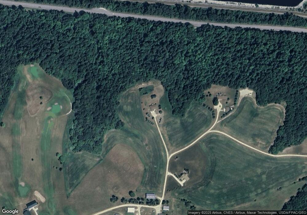
Map
Nearby Homes
- 26884 709th St
- TBD 3 708th St
- 1300 1st St
- 202 Cedar St
- 207 2nd St
- 401 Elm St
- Tbd 230th Ave
- 308 Main St
- TBD 230th Ave
- TBD 712th St
- W11058 W Lake Dr
- W9336 State Highway 35
- 0 Cottonwood Lane West Parcel
- 0
- 131 Emerald Lake Dr
- 200 E Michigan St Unit 5
- 1329 S Oak St
- 1300 S Lakeshore Dr Unit A3
- Lot 17 215th Ave
- Lot 18 215th Ave
- 71057 260th Ave
- 71018 260th Ave
- 71125 260th Ave
- 71532 261st Ave
- 71547 261st Ave
- 71538 261st Ave
- 71409 Highway 61
- 70782 260th Ave
- 71553 Highway 61
- 26188 708th St
- 70926 251st Ave
- XXXX Bluff View Ct E
- 71086 251st Ave
- 25164 705th St
- XXXX Ridge Court View
- 25626 705th St
- 25578 705th St
- 25652 705th St
- 25536 705th St
- 25472 705th St