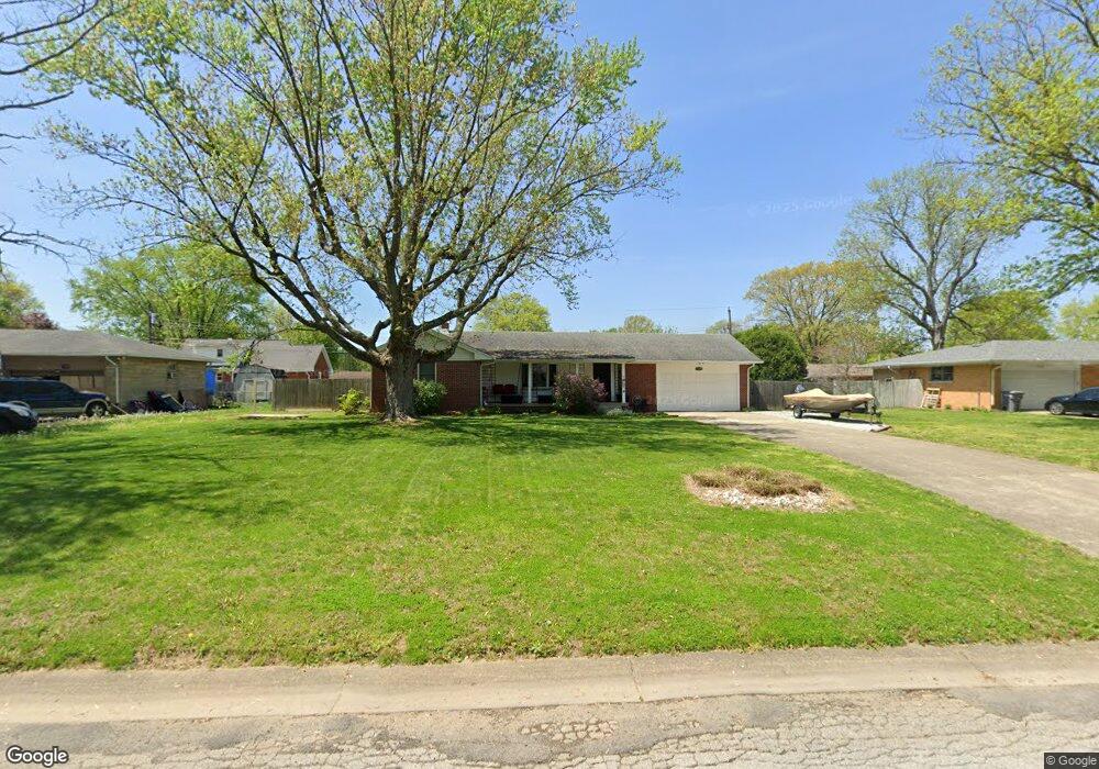
7116 Linden Dr Indianapolis, IN 46227
South Perry NeighborhoodEstimated Value: $227,888 - $248,000
3
Beds
2
Baths
1,220
Sq Ft
$195/Sq Ft
Est. Value
About This Home
This home is located at 7116 Linden Dr, Indianapolis, IN 46227 and is currently estimated at $238,472, approximately $195 per square foot. 7116 Linden Dr is a home located in Marion County with nearby schools including Southport Elementary School, Southport 6th Grade Academy, and Southport Middle School.
Ownership History
Date
Name
Owned For
Owner Type
Purchase Details
Closed on
Jul 6, 2009
Sold by
Maxwell Matthew J
Bought by
Bowling Sheila K
Current Estimated Value
Home Financials for this Owner
Home Financials are based on the most recent Mortgage that was taken out on this home.
Original Mortgage
$120,280
Outstanding Balance
$78,702
Interest Rate
5.36%
Mortgage Type
FHA
Estimated Equity
$159,770
Create a Home Valuation Report for This Property
The Home Valuation Report is an in-depth analysis detailing your home's value as well as a comparison with similar homes in the area
Home Values in the Area
Average Home Value in this Area
Purchase History
| Date | Buyer | Sale Price | Title Company |
|---|---|---|---|
| Bowling Sheila K | -- | None Available |
Source: Public Records
Mortgage History
| Date | Status | Borrower | Loan Amount |
|---|---|---|---|
| Open | Bowling Sheila K | $120,280 |
Source: Public Records
Tax History Compared to Growth
Tax History
| Year | Tax Paid | Tax Assessment Tax Assessment Total Assessment is a certain percentage of the fair market value that is determined by local assessors to be the total taxable value of land and additions on the property. | Land | Improvement |
|---|---|---|---|---|
| 2024 | $2,669 | $198,300 | $28,600 | $169,700 |
| 2023 | $2,669 | $203,700 | $28,600 | $175,100 |
| 2022 | $2,424 | $182,200 | $28,600 | $153,600 |
| 2021 | $2,028 | $151,500 | $28,600 | $122,900 |
| 2020 | $1,875 | $140,000 | $28,600 | $111,400 |
| 2019 | $1,790 | $135,300 | $21,500 | $113,800 |
| 2018 | $1,623 | $121,500 | $21,500 | $100,000 |
| 2017 | $1,664 | $124,500 | $21,500 | $103,000 |
| 2016 | $1,595 | $119,600 | $21,500 | $98,100 |
| 2014 | $1,267 | $113,900 | $21,500 | $92,400 |
| 2013 | $1,105 | $104,900 | $21,500 | $83,400 |
Source: Public Records
Map
Nearby Homes
- 1540 Weber Dr
- 931 Maynard Dr
- 7525 Surrey Dr
- 1610 Southview Dr
- 7548 Briarstone Dr
- 1603 Maynard Dr
- 7628 Briarstone Ln
- 7693 Briarstone Ln
- 1721 Southview Dr
- 7725 S Oak Dr
- 618 Reda Rd
- 6602 Madison Ave
- 410 E Southport Rd
- 7819 S Oak Dr
- 135 South St
- 6643 S New Jersey St
- 7645 Lindenwood Dr
- 232 Bangor Dr
- 7528 S New Jersey St
- 234 E Hickory Ln
- 7126 Linden Dr
- 7106 Linden Dr
- 7111 Maplewood Dr
- 7121 Maplewood Dr
- 7115 Linden Dr
- 7101 Maplewood Dr
- 7136 Linden Dr
- 7131 Maplewood Dr
- 7135 Linden Dr
- 7043 Linden Dr
- 7124 Laurel Dr
- 7112 Maplewood Dr
- 7136 Laurel Dr
- 7122 Maplewood Dr
- 7114 Laurel Dr
- 7024 Linden Dr
- 7146 Linden Dr
- 7102 Maplewood Dr
- 1130 Weber Dr
- 7141 Maplewood Dr