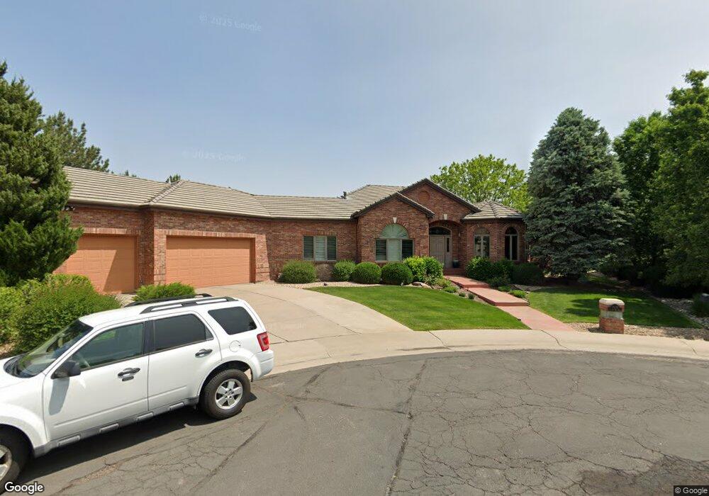
7120 Old Farm Rd Littleton, CO 80128
Estimated Value: $1,169,000 - $1,442,000
2
Beds
5
Baths
2,947
Sq Ft
$450/Sq Ft
Est. Value
About This Home
This home is located at 7120 Old Farm Rd, Littleton, CO 80128 and is currently estimated at $1,327,296, approximately $450 per square foot. 7120 Old Farm Rd is a home located in Arapahoe County with nearby schools including Wilder Elementary School, Goddard Middle School, and Heritage High School.
Ownership History
Date
Name
Owned For
Owner Type
Purchase Details
Closed on
Aug 21, 2019
Sold by
Fitterer Teresa K
Bought by
Fitterer Clements P
Current Estimated Value
Purchase Details
Closed on
Aug 27, 2002
Sold by
Fitterer Clements P and Fitterer Teresa A
Bought by
Fitterer Clements P and Fitterer Teresa A
Purchase Details
Closed on
Aug 18, 1999
Sold by
Quinn William & Judith Family Trust
Bought by
Fitterer Clement P and Fitterer Teresa A
Purchase Details
Closed on
Mar 20, 1996
Sold by
Manor Homes Inc
Bought by
Quinn William G and Quinn Judith A
Purchase Details
Closed on
Aug 4, 1995
Sold by
Meadowbrook Development Llc
Bought by
Manor Homes Inc
Create a Home Valuation Report for This Property
The Home Valuation Report is an in-depth analysis detailing your home's value as well as a comparison with similar homes in the area
Home Values in the Area
Average Home Value in this Area
Purchase History
| Date | Buyer | Sale Price | Title Company |
|---|---|---|---|
| Fitterer Clements P | -- | None Available | |
| Fitterer Clements P | -- | -- | |
| Fitterer Clement P | $660,000 | Land Title | |
| Quinn William G | $486,500 | Land Title | |
| Manor Homes Inc | $82,500 | -- |
Source: Public Records
Tax History Compared to Growth
Tax History
| Year | Tax Paid | Tax Assessment Tax Assessment Total Assessment is a certain percentage of the fair market value that is determined by local assessors to be the total taxable value of land and additions on the property. | Land | Improvement |
|---|---|---|---|---|
| 2024 | $7,188 | $81,874 | -- | -- |
| 2023 | $7,188 | $81,874 | $0 | $0 |
| 2022 | $6,539 | $71,362 | $0 | $0 |
| 2021 | $6,521 | $71,362 | $0 | $0 |
| 2020 | $6,234 | $70,506 | $0 | $0 |
| 2019 | $5,864 | $70,506 | $0 | $0 |
| 2018 | $4,795 | $62,258 | $0 | $0 |
| 2017 | $4,443 | $62,258 | $0 | $0 |
| 2016 | $4,950 | $66,888 | $0 | $0 |
| 2015 | $4,962 | $66,888 | $0 | $0 |
| 2014 | -- | $56,636 | $0 | $0 |
| 2013 | -- | $61,980 | $0 | $0 |
Source: Public Records
Map
Nearby Homes
- 7175 S Polo Ridge Dr
- 7079 S Polo Ridge Dr
- 5040 W Geddes Cir
- 7425 S Utica St
- 7452 S Utica St
- 7120 S Sheridan Ct
- 7351 S Sheridan Ct
- 4431 W Jamison Place
- 5274 W Rowland Place
- 7604 S Platteview Dr
- 7427 S Ames Ct
- 7000 S Sheridan Blvd
- 5041 W Portland Dr
- 5466 W Indore Dr
- 5295 W Plymouth Dr
- 7504 S Depew St
- 5200 W Ontario Ave
- 6773 S Yates Ct
- 7753 S Ames Way
- 5845 W Portland Dr
- 7130 Old Farm Rd
- 7110 Old Farm Rd
- 4753 W Easter Ct
- 7100 Old Farm Rd
- 7185 S Polo Ridge Dr
- 7195 S Polo Ridge Dr
- 4720 W Easter Ct
- 7165 S Polo Ridge Dr
- 4750 W Easter Ct
- 4770 W Easter Ct
- 4681 W Hanoverian Way
- 7155 S Polo Ridge Dr
- 7214 S Platte Canyon Dr
- 4651 W Hanoverian Way
- 7204 S Platte Canyon Dr
- 4741 W Fremont Ct
- 4771 W Fremont Ct
- 7224 S Platte Canyon Dr
- 4781 W Fremont Ct
- 7162 S Platte Canyon Dr