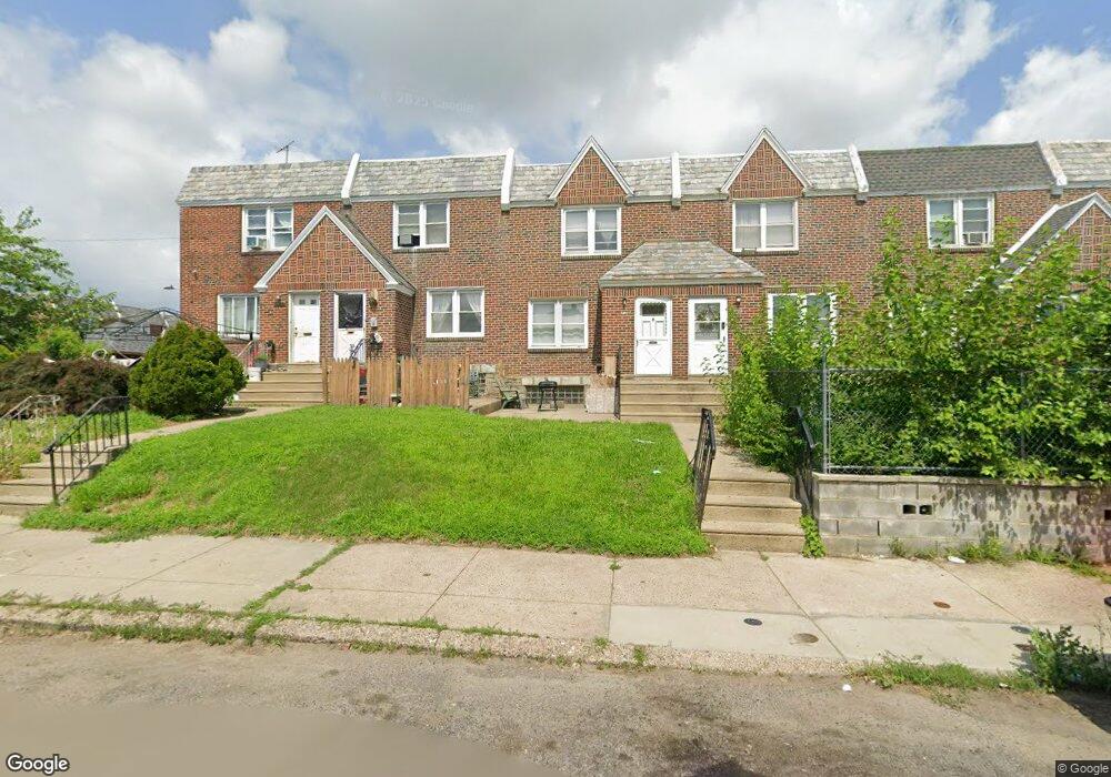
7122 Horrocks St Philadelphia, PA 19149
Castor Gardens NeighborhoodEstimated Value: $231,801 - $250,000
3
Beds
1
Bath
1,176
Sq Ft
$205/Sq Ft
Est. Value
About This Home
This home is located at 7122 Horrocks St, Philadelphia, PA 19149 and is currently estimated at $240,700, approximately $204 per square foot. 7122 Horrocks St is a home located in Philadelphia County with nearby schools including Solomon Solis-Cohen School, Castor Gardens Middle School, and Northeast High School.
Ownership History
Date
Name
Owned For
Owner Type
Purchase Details
Closed on
Jun 25, 2001
Sold by
Barash Mildred
Bought by
Sebastian Linda A
Current Estimated Value
Home Financials for this Owner
Home Financials are based on the most recent Mortgage that was taken out on this home.
Original Mortgage
$71,435
Outstanding Balance
$27,429
Interest Rate
7.09%
Mortgage Type
FHA
Estimated Equity
$213,271
Purchase Details
Closed on
Nov 30, 1951
Bought by
Irving Barash and Irving Mildred
Create a Home Valuation Report for This Property
The Home Valuation Report is an in-depth analysis detailing your home's value as well as a comparison with similar homes in the area
Home Values in the Area
Average Home Value in this Area
Purchase History
| Date | Buyer | Sale Price | Title Company |
|---|---|---|---|
| Sebastian Linda A | $72,000 | Lawyers Title Insurance Corp | |
| Irving Barash | -- | -- |
Source: Public Records
Mortgage History
| Date | Status | Borrower | Loan Amount |
|---|---|---|---|
| Open | Sebastian Linda A | $71,435 |
Source: Public Records
Tax History Compared to Growth
Tax History
| Year | Tax Paid | Tax Assessment Tax Assessment Total Assessment is a certain percentage of the fair market value that is determined by local assessors to be the total taxable value of land and additions on the property. | Land | Improvement |
|---|---|---|---|---|
| 2025 | $2,697 | $232,000 | $46,400 | $185,600 |
| 2024 | $2,697 | $232,000 | $46,400 | $185,600 |
| 2023 | $2,697 | $192,700 | $38,540 | $154,160 |
| 2022 | $1,907 | $192,700 | $38,540 | $154,160 |
| 2021 | $1,907 | $0 | $0 | $0 |
| 2020 | $1,907 | $0 | $0 | $0 |
| 2019 | $1,830 | $0 | $0 | $0 |
| 2018 | $1,699 | $0 | $0 | $0 |
| 2017 | $1,699 | $0 | $0 | $0 |
| 2016 | $1,699 | $0 | $0 | $0 |
| 2015 | $1,627 | $0 | $0 | $0 |
| 2014 | -- | $121,400 | $20,664 | $100,736 |
| 2012 | -- | $15,584 | $1,623 | $13,961 |
Source: Public Records
Map
Nearby Homes
- 7123 Souder St
- 7034 Souder St
- 7039 Kindred St
- 7231 Eastwood St
- 7050 Lynford St
- 7247 Eastwood St
- 7219 Rutland St
- 7035 Rutland St
- 7153 Saul St
- 7155 Saul St
- 7123 Castor Ave
- 7019 Rutland St
- 2105 Friendship St
- 7214 Bradford St
- 1405 Saint Vincent St
- 2140 Princeton Ave
- 6829 Horrocks St
- 6834 Large St
- 6826 Sylvester St
- 7223 Hanford St
- 7124 Horrocks St
- 7120 Horrocks St
- 7126 Horrocks St
- 7128 Horrocks St
- 7130 Horrocks St
- 7132 Horrocks St
- 7121 Souder St
- 7134 Horrocks St
- 7119 Souder St
- 7125 Souder St
- 7127 Souder St
- 7136 Horrocks St
- 7129 Souder St
- 7131 Souder St
- 7138 Horrocks St
- 7125 Horrocks St
- 7127 Horrocks St
- 7123 Horrocks St
- 7133 Souder St
- 7121 Horrocks St