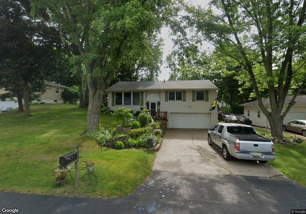
7139 Leawood St Portage, MI 49024
Estimated Value: $265,510 - $278,000
3
Beds
3
Baths
1,226
Sq Ft
$224/Sq Ft
Est. Value
About This Home
This home is located at 7139 Leawood St, Portage, MI 49024 and is currently estimated at $274,128, approximately $223 per square foot. 7139 Leawood St is a home located in Kalamazoo County with nearby schools including Moorsbridge Elementary School, Portage West Middle School, and Portage Northern High School.
Ownership History
Date
Name
Owned For
Owner Type
Purchase Details
Closed on
Aug 11, 2015
Sold by
Aivars Martin
Bought by
Aivars Martin and The Martin Aivars Revocable Trust
Current Estimated Value
Purchase Details
Closed on
May 23, 2014
Sold by
Aivars Kathy Jo
Bought by
Aivars Martin
Home Financials for this Owner
Home Financials are based on the most recent Mortgage that was taken out on this home.
Original Mortgage
$90,000
Interest Rate
4.18%
Mortgage Type
Credit Line Revolving
Create a Home Valuation Report for This Property
The Home Valuation Report is an in-depth analysis detailing your home's value as well as a comparison with similar homes in the area
Home Values in the Area
Average Home Value in this Area
Purchase History
| Date | Buyer | Sale Price | Title Company |
|---|---|---|---|
| Aivars Martin | -- | Attorney | |
| Aivars Martin | -- | None Available |
Source: Public Records
Mortgage History
| Date | Status | Borrower | Loan Amount |
|---|---|---|---|
| Closed | Aivars Martin | $90,000 |
Source: Public Records
Tax History Compared to Growth
Tax History
| Year | Tax Paid | Tax Assessment Tax Assessment Total Assessment is a certain percentage of the fair market value that is determined by local assessors to be the total taxable value of land and additions on the property. | Land | Improvement |
|---|---|---|---|---|
| 2025 | $3,082 | $100,100 | $0 | $0 |
| 2024 | $2,713 | $99,200 | $0 | $0 |
| 2023 | $2,586 | $83,000 | $0 | $0 |
| 2022 | $2,795 | $79,300 | $0 | $0 |
| 2021 | $2,701 | $74,200 | $0 | $0 |
| 2020 | $2,642 | $67,100 | $0 | $0 |
| 2019 | $238 | $66,400 | $0 | $0 |
| 2018 | $0 | $64,800 | $0 | $0 |
| 2017 | $0 | $60,500 | $0 | $0 |
| 2016 | -- | $63,100 | $0 | $0 |
| 2015 | -- | $59,200 | $0 | $0 |
| 2014 | -- | $52,400 | $0 | $0 |
Source: Public Records
Map
Nearby Homes
- 2604 Radcliffe Ave
- 3320 Scots Pine Way Unit 2
- 7160 Crown Pointe Cir
- 7481 Turnberry Ct
- 2801 Daventry Ave
- 6740 Amberly St
- 7236 Hampstead Ln Unit 18
- 7464 Saint George Cir
- 3318 Davcliff Ave
- 6748 Trotwood St
- 6876 Towhee St
- 7639 Dunross Dr
- 3522 Bellflower Dr
- 6645 Oleander Ln
- 6636 Trotwood St
- 3638 Bellflower Dr
- 6605 Rothbury St
- 3653 Tartan Cir
- 3737 Bellflower Dr
- 1828 Woodland Dr
- 7147 Leawood St
- 7131 Leawood St
- 7186 Sandpiper St
- 7170 Sandpiper St
- 7207 Leawood St
- 7123 Leawood St
- 7123 Leawood St Unit South River Road Par
- 7202 Sandpiper St
- 7138 Leawood St
- 7146 Leawood St
- 7130 Leawood St
- 7115 Leawood St
- 7215 Leawood St
- 7218 Sandpiper St
- 7138 Sandpiper St
- 7206 Leawood St
- 7122 Leawood St
- 7214 Leawood St
- 7114 Leawood St
- 7116 Sandpiper St