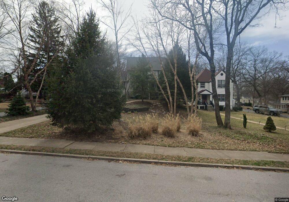
716 Dale Ave Saint Louis, MO 63119
Estimated Value: $693,000 - $893,000
5
Beds
4
Baths
2,836
Sq Ft
$287/Sq Ft
Est. Value
About This Home
This home is located at 716 Dale Ave, Saint Louis, MO 63119 and is currently estimated at $814,571, approximately $287 per square foot. 716 Dale Ave is a home located in St. Louis County with nearby schools including Avery Elementary School, Hixson Middle School, and Webster Groves High School.
Ownership History
Date
Name
Owned For
Owner Type
Purchase Details
Closed on
Aug 17, 2004
Sold by
Tri Square Construction Co Inc
Bought by
Mess Steve M and Evans Mess Melody
Current Estimated Value
Home Financials for this Owner
Home Financials are based on the most recent Mortgage that was taken out on this home.
Original Mortgage
$149,400
Outstanding Balance
$69,655
Interest Rate
5.21%
Mortgage Type
Purchase Money Mortgage
Estimated Equity
$744,916
Purchase Details
Closed on
Jul 15, 2002
Sold by
Bene John F and Bene Lynda S
Bought by
Tri Square Construction Co Inc
Create a Home Valuation Report for This Property
The Home Valuation Report is an in-depth analysis detailing your home's value as well as a comparison with similar homes in the area
Home Values in the Area
Average Home Value in this Area
Purchase History
| Date | Buyer | Sale Price | Title Company |
|---|---|---|---|
| Mess Steve M | $522,803 | -- | |
| Tri Square Construction Co Inc | $90,000 | -- |
Source: Public Records
Mortgage History
| Date | Status | Borrower | Loan Amount |
|---|---|---|---|
| Open | Mess Steve M | $149,400 |
Source: Public Records
Tax History Compared to Growth
Tax History
| Year | Tax Paid | Tax Assessment Tax Assessment Total Assessment is a certain percentage of the fair market value that is determined by local assessors to be the total taxable value of land and additions on the property. | Land | Improvement |
|---|---|---|---|---|
| 2025 | $8,809 | $144,760 | $77,820 | $66,940 |
| 2024 | $8,809 | $127,070 | $48,640 | $78,430 |
| 2023 | $8,809 | $127,070 | $48,640 | $78,430 |
| 2022 | $7,418 | $99,770 | $38,910 | $60,860 |
| 2021 | $7,392 | $99,770 | $38,910 | $60,860 |
| 2020 | $8,579 | $107,970 | $38,320 | $69,650 |
| 2019 | $8,518 | $107,970 | $38,320 | $69,650 |
| 2018 | $7,957 | $89,550 | $26,870 | $62,680 |
| 2017 | $7,904 | $89,550 | $26,870 | $62,680 |
| 2016 | $7,469 | $80,940 | $23,070 | $57,870 |
| 2015 | $7,511 | $80,940 | $23,070 | $57,870 |
| 2014 | $7,518 | $78,830 | $18,920 | $59,910 |
Source: Public Records
Map
Nearby Homes
- 946 Newport Ave
- 7723 Suffolk Ave
- 7826 Grove Ave
- 4 Saint Charles Place
- 6 Saint Charles Place
- 554 N Laclede Station Rd
- 400 Marion Ave
- 570 N Laclede Station Rd
- 25 Saint Charles Place
- 544 Summit Ave
- 808 Greeley Ave
- 5000 Wilshusen Ave
- 4126 Exeter Ave
- 4121 Shrewsbury Ave
- 7729 Kenridge Ln
- 940 Brookside Ave
- 1045 Tuxedo Blvd
- 5015 Lenox Ave
- 7512 Suffolk Ave
- 1048 Kuhlman Ln