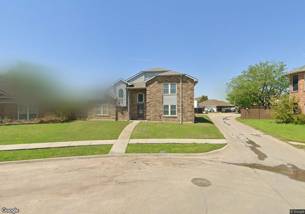
7161 Fox Dr the Colony, TX 75056
Estimated Value: $434,418 - $450,000
3
Beds
2
Baths
2,095
Sq Ft
$211/Sq Ft
Est. Value
About This Home
This home is located at 7161 Fox Dr, the Colony, TX 75056 and is currently estimated at $442,605, approximately $211 per square foot. 7161 Fox Dr is a home located in Denton County with nearby schools including B B Owen Elementary School, Griffin Middle School, and The Colony High School.
Ownership History
Date
Name
Owned For
Owner Type
Purchase Details
Closed on
Dec 6, 2002
Sold by
Wright David Wesley and Wright Lisa Maria
Bought by
Lukaszewski Leo and Lukaszewski Frances
Current Estimated Value
Home Financials for this Owner
Home Financials are based on the most recent Mortgage that was taken out on this home.
Original Mortgage
$74,000
Outstanding Balance
$31,352
Interest Rate
6.05%
Estimated Equity
$411,253
Create a Home Valuation Report for This Property
The Home Valuation Report is an in-depth analysis detailing your home's value as well as a comparison with similar homes in the area
Home Values in the Area
Average Home Value in this Area
Purchase History
| Date | Buyer | Sale Price | Title Company |
|---|---|---|---|
| Lukaszewski Leo | -- | -- |
Source: Public Records
Mortgage History
| Date | Status | Borrower | Loan Amount |
|---|---|---|---|
| Open | Lukaszewski Leo | $74,000 |
Source: Public Records
Tax History Compared to Growth
Tax History
| Year | Tax Paid | Tax Assessment Tax Assessment Total Assessment is a certain percentage of the fair market value that is determined by local assessors to be the total taxable value of land and additions on the property. | Land | Improvement |
|---|---|---|---|---|
| 2025 | $2,552 | $447,334 | $109,890 | $337,444 |
| 2024 | $8,760 | $451,375 | $109,890 | $341,485 |
| 2023 | $2,552 | $411,004 | $109,890 | $351,897 |
| 2022 | $7,844 | $373,640 | $109,890 | $285,238 |
| 2021 | $7,565 | $339,673 | $74,725 | $264,948 |
| 2020 | $7,035 | $316,489 | $74,725 | $241,764 |
| 2019 | $7,109 | $309,667 | $74,725 | $234,942 |
| 2018 | $6,710 | $290,419 | $74,725 | $231,407 |
| 2017 | $6,167 | $264,017 | $74,725 | $206,532 |
| 2016 | $3,998 | $240,015 | $48,107 | $203,452 |
| 2015 | $3,617 | $218,195 | $48,107 | $174,441 |
| 2013 | -- | $180,326 | $48,107 | $132,219 |
Source: Public Records
Map
Nearby Homes
- 5633 Trego St
- 5621 Truitt St
- 5588 Squires Dr
- 5912 Madison Dr
- 5613 Woodlands Dr
- 5617 Woodlands Dr
- 5621 Woodlands Dr
- 5661 Woodlands Dr
- 5549 Ragan Dr
- 3399 Columbus Dr
- 5548 Rice Dr
- 3581 Senate Ln
- 3487 Pilgrim Dr
- 5513 Rearn Dr
- 6076 Dooley Dr
- 2366 Alcove Dr
- 2416 Haft River Rd
- 6082 Dooley Dr
- 5612 Pearce St
- 3459 United Ln