7179 W Hill Rd Decatur, IL 62522
Estimated Value: $156,000 - $374,000
--
Bed
--
Bath
1,280
Sq Ft
$168/Sq Ft
Est. Value
About This Home
This home is located at 7179 W Hill Rd, Decatur, IL 62522 and is currently estimated at $215,242, approximately $168 per square foot. 7179 W Hill Rd is a home located in Macon County.
Ownership History
Date
Name
Owned For
Owner Type
Purchase Details
Closed on
Nov 11, 2023
Sold by
Garcia Rafael Fuentes
Bought by
Xerxes Properties Llc-Iii
Current Estimated Value
Purchase Details
Closed on
Mar 1, 2017
Sold by
Campbell Jackie D
Bought by
Xerxes Properties Llc 1
Purchase Details
Closed on
Feb 27, 2017
Sold by
Hutchins Robert S
Bought by
Xerxes Properties Llc 1
Purchase Details
Closed on
Jan 2, 2014
Sold by
Hutchins Rebecca L
Bought by
Hutchins Robert S
Create a Home Valuation Report for This Property
The Home Valuation Report is an in-depth analysis detailing your home's value as well as a comparison with similar homes in the area
Home Values in the Area
Average Home Value in this Area
Purchase History
| Date | Buyer | Sale Price | Title Company |
|---|---|---|---|
| Xerxes Properties Llc-Iii | $120,000 | None Listed On Document | |
| Xerxes Properties Llc-Iii | $120,000 | None Listed On Document | |
| Xerxes Properties Llc 1 | $80,000 | None Available | |
| Xerxes Properties Llc 1 | -- | None Available | |
| Hutchins Robert S | -- | None Available |
Source: Public Records
Tax History Compared to Growth
Tax History
| Year | Tax Paid | Tax Assessment Tax Assessment Total Assessment is a certain percentage of the fair market value that is determined by local assessors to be the total taxable value of land and additions on the property. | Land | Improvement |
|---|---|---|---|---|
| 2024 | $4,690 | $58,460 | $12,676 | $45,784 |
| 2023 | $2,894 | $37,574 | $12,256 | $25,318 |
| 2022 | $2,735 | $34,747 | $11,334 | $23,413 |
| 2021 | $2,661 | $33,005 | $10,766 | $22,239 |
| 2020 | $2,531 | $31,103 | $10,146 | $20,957 |
| 2019 | $2,531 | $31,103 | $10,146 | $20,957 |
| 2018 | $2,466 | $30,365 | $9,905 | $20,460 |
| 2017 | $2,017 | $30,493 | $9,947 | $20,546 |
| 2016 | $2,036 | $30,456 | $9,935 | $20,521 |
| 2015 | $1,934 | $29,569 | $9,646 | $19,923 |
| 2014 | $1,872 | $29,276 | $9,550 | $19,726 |
| 2013 | $2,007 | $29,276 | $9,550 | $19,726 |
Source: Public Records
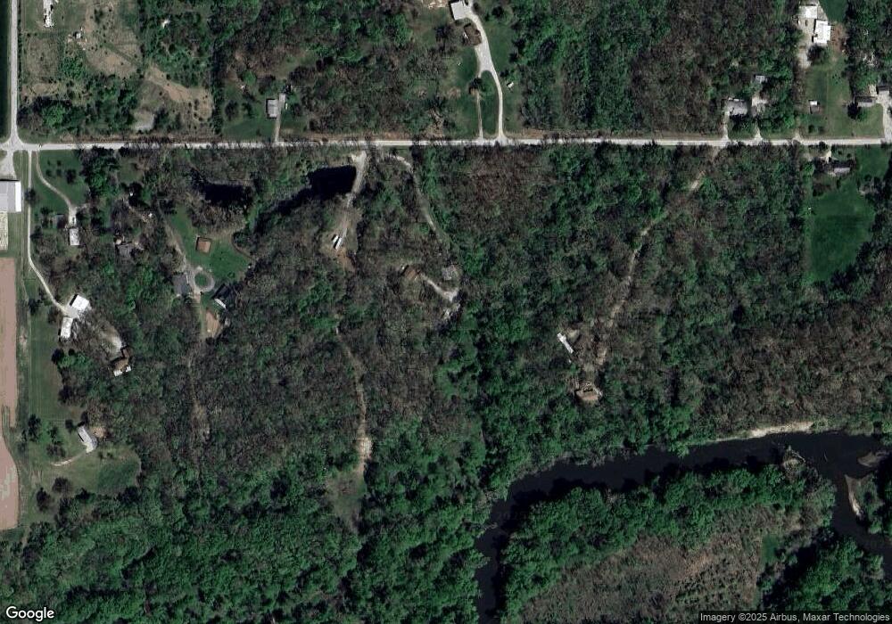
Map
Nearby Homes
- 0 W Wood St
- 7450 W William St
- 275 N Camp St
- 0 W Harristown Blvd Unit 6251050
- 3247 Nevada Rd
- 5180 W Cantrell St
- 3335 Nevada Rd
- 445 S Wyckles Rd
- 468 N Megan Dr
- 170 S Hillcrest Blvd
- 3889 W Division St
- 480 N Hillcrest Blvd
- 635 N Virginia Ave
- 1720 N Sunnyside Rd
- 1650 N Sunnyside Rd
- 2529 W Alice Ln
- 1135 N Moffet Ln
- 2207 Forest Crest Dr
- 3525 W Center St
- 3031 Heritage Rd
- 7335 W Hill Rd
- 6961 W Hill Rd
- 7280 W Hill Rd
- 7136 W Hill Rd
- 7345 W Hill Rd
- 7381 W Hill Rd
- 7353 W Hill Rd
- 6920 W Hill Rd
- 153 Rr 8
- 7395 W Hill Rd
- 6880 W Hill Rd
- 6865 W Hill Rd
- 6888 W Hill Rd
- 6840 W Hill Rd
- 6535 W Hill Rd
- 7121 W Cantrell St
- 7135 W Cantrell St
- 7223 W Cantrell St
- 1085 Twin Lakes Rd
- 6550 W Hill Rd