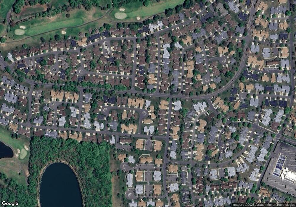
717A Delair Rd Monroe Township, NJ 08831
Estimated Value: $393,000 - $470,000
--
Bed
--
Bath
1,258
Sq Ft
$338/Sq Ft
Est. Value
About This Home
This home is located at 717A Delair Rd, Monroe Township, NJ 08831 and is currently estimated at $425,646, approximately $338 per square foot. 717A Delair Rd is a home located in Middlesex County with nearby schools including Oak Tree Elementary School, Monroe Township Middle School, and Monroe Township High School.
Ownership History
Date
Name
Owned For
Owner Type
Purchase Details
Closed on
Apr 28, 2021
Sold by
Puma Eric and Eggm Llc
Bought by
Sarabella Natalie
Current Estimated Value
Home Financials for this Owner
Home Financials are based on the most recent Mortgage that was taken out on this home.
Original Mortgage
$279,000
Outstanding Balance
$251,903
Interest Rate
3%
Mortgage Type
New Conventional
Estimated Equity
$173,743
Purchase Details
Closed on
Oct 16, 2020
Sold by
Pietz A J A and Pietz Alfons Hans
Bought by
Eggm Llc
Purchase Details
Closed on
Sep 8, 2013
Sold by
Wolfson Ethel G and Green Ethel
Bought by
Pietz Alphonse
Create a Home Valuation Report for This Property
The Home Valuation Report is an in-depth analysis detailing your home's value as well as a comparison with similar homes in the area
Home Values in the Area
Average Home Value in this Area
Purchase History
| Date | Buyer | Sale Price | Title Company |
|---|---|---|---|
| Sarabella Natalie | $349,000 | Bentley Abstract Inc | |
| Eggm Llc | $195,000 | Wfg National Title | |
| Pietz Alphonse | $129,900 | Westcor Land Title Insuran |
Source: Public Records
Mortgage History
| Date | Status | Borrower | Loan Amount |
|---|---|---|---|
| Open | Sarabella Natalie | $279,000 |
Source: Public Records
Tax History Compared to Growth
Tax History
| Year | Tax Paid | Tax Assessment Tax Assessment Total Assessment is a certain percentage of the fair market value that is determined by local assessors to be the total taxable value of land and additions on the property. | Land | Improvement |
|---|---|---|---|---|
| 2025 | $3,505 | $124,700 | $36,000 | $88,700 |
| 2024 | $3,383 | $124,700 | $36,000 | $88,700 |
| 2023 | $3,383 | $124,700 | $36,000 | $88,700 |
| 2022 | $3,326 | $124,700 | $36,000 | $88,700 |
| 2021 | $2,165 | $108,800 | $36,000 | $72,800 |
| 2020 | $2,892 | $108,800 | $36,000 | $72,800 |
| 2019 | $2,827 | $108,800 | $36,000 | $72,800 |
| 2018 | $2,805 | $108,800 | $36,000 | $72,800 |
| 2017 | $2,761 | $108,800 | $36,000 | $72,800 |
| 2016 | $2,720 | $108,800 | $36,000 | $72,800 |
| 2015 | $2,655 | $108,800 | $36,000 | $72,800 |
| 2014 | $2,566 | $108,800 | $36,000 | $72,800 |
Source: Public Records
Map
Nearby Homes
- 742A Pompton Rd Unit 742A
- 742A Pompton Rd Unit A
- 278 Crosse Dr Unit 3G
- 732 Ralston Plaza Unit A
- 639 Madison Dr Unit 639C
- 278 -3G Crosse
- 235A Vernon Rd
- 235A Vernon Rd Unit A
- 478 Fairton Dr Unit 478A
- 478 Fairton Dr
- 265 Crosse Dr Unit 265A
- 492 Delair Rd Unit C
- 780B Ardmore Rd
- 40 Haddon Rd Unit 40B
- 36 Haddon Rd
- 442A Dahlia Plaza
- 626 Deal Rd Unit C
- 211 Doremus Dr
- 438 Belford Rd Unit b
- 213 Doremus Dr Unit c
- 717B Delair Rd
- 715A Delair Rd
- 716 Delair Rd
- 716 Delair Rd Unit 716C
- 716 Delair Rd Unit 716b
- 716 Delair Rd Unit B
- 718A Delair Rd
- 713A Delair Rd Unit A
- 716A Delair Rd
- 716B Delair Rd
- 716B Delair Rd Unit B
- 714B Delair Rd
- 714C Delair Rd
- 712 Delair Rd Unit B
- 712 Delair Rd Unit C
- 716C Delair Rd
- 718 Delair Rd Unit A
- 718 Delair Rd
- 714A Delair Rd
- 719A Delair Rd
