719 Kensington Ln Livingston, NJ 07039
Estimated Value: $681,326 - $782,000
--
Bed
--
Bath
1,752
Sq Ft
$422/Sq Ft
Est. Value
About This Home
This home is located at 719 Kensington Ln, Livingston, NJ 07039 and is currently estimated at $739,582, approximately $422 per square foot. 719 Kensington Ln is a home located in Essex County with nearby schools including Livingston Sr High School, Joseph Kushner Hebrew Academy, and Sinai Schools Maor.
Ownership History
Date
Name
Owned For
Owner Type
Purchase Details
Closed on
Dec 30, 2002
Sold by
Regency Club Dev Llc
Bought by
Abahoonie Marieadell
Current Estimated Value
Home Financials for this Owner
Home Financials are based on the most recent Mortgage that was taken out on this home.
Original Mortgage
$150,000
Interest Rate
5.9%
Create a Home Valuation Report for This Property
The Home Valuation Report is an in-depth analysis detailing your home's value as well as a comparison with similar homes in the area
Home Values in the Area
Average Home Value in this Area
Purchase History
| Date | Buyer | Sale Price | Title Company |
|---|---|---|---|
| Abahoonie Marieadell | $361,000 | -- |
Source: Public Records
Mortgage History
| Date | Status | Borrower | Loan Amount |
|---|---|---|---|
| Previous Owner | Abahoonie Marieadell | $150,000 |
Source: Public Records
Tax History Compared to Growth
Tax History
| Year | Tax Paid | Tax Assessment Tax Assessment Total Assessment is a certain percentage of the fair market value that is determined by local assessors to be the total taxable value of land and additions on the property. | Land | Improvement |
|---|---|---|---|---|
| 2025 | $10,444 | $440,300 | $165,000 | $275,300 |
| 2024 | $10,444 | $440,300 | $165,000 | $275,300 |
| 2022 | $10,272 | $440,300 | $165,000 | $275,300 |
| 2021 | $10,189 | $440,300 | $165,000 | $275,300 |
| 2020 | $9,999 | $440,300 | $165,000 | $275,300 |
| 2019 | $10,396 | $397,400 | $160,000 | $237,400 |
| 2018 | $10,257 | $397,400 | $160,000 | $237,400 |
| 2017 | $10,122 | $397,400 | $160,000 | $237,400 |
| 2016 | $9,935 | $397,400 | $160,000 | $237,400 |
| 2015 | $9,788 | $397,400 | $160,000 | $237,400 |
| 2014 | $9,470 | $397,400 | $160,000 | $237,400 |
Source: Public Records
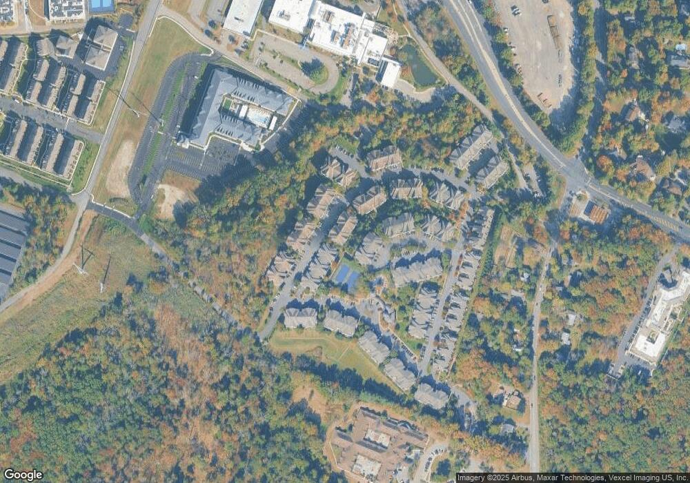
Map
Nearby Homes
- 305 Binghampton Ln
- 301 Edmonton Ct Unit 6301
- 32 Gala Ct
- 36 Cortland Ct
- 11 Ambrosia Ct
- 7 Coventry Rd
- 18 East Dr
- 15 East Dr
- 15 North Dr
- 27 Wingate Dr
- 163 Summit Rd
- 5 Torrence Dr
- 8 Torrence Dr
- 40 Byron Place
- 4 Trevino Ct Unit 30D
- 119 Cathedral Ave
- 16 Crossbrook Place
- 20 Crescent Rd
- 5 Foxcroft Dr
- 14 Burnet Hill Rd
- 717 Kensington Ln
- 711 Kensington Ln
- 715 Kensington Ln Unit 18715
- 713 Kensington Ln
- 709 Kensington Ln Unit 18709
- 903 Kensington Ln
- 701 Kensington Ln
- 707 Kensington Ln
- 905 Kensington Ln
- 602 Turlington Ct Unit 24602
- 901 Kensington Ln Unit 17901
- 703 Kensington Ln
- 705 Kensington Ln
- 909 Kensington Ln
- 604 Turlington Ct
- 610 Turlington Ct Unit 24610
- 620 Turlington Ct
- 612 Turlington Ct Unit 24612
- 907 Kensington Ln
- 608 Turlington Ct