Estimated Value: $374,048 - $481,000
--
Bed
1
Bath
2,496
Sq Ft
$169/Sq Ft
Est. Value
About This Home
This home is located at 719 R Folsom Rd, Adel, GA 31620 and is currently estimated at $422,683, approximately $169 per square foot. 719 R Folsom Rd is a home with nearby schools including Cook Primary School, Cook Elementary School, and Cook County Middle School.
Ownership History
Date
Name
Owned For
Owner Type
Purchase Details
Closed on
Sep 9, 2009
Sold by
Mackie Matthew Corey
Bought by
Mackie Sara C and Mackie Matthew C
Current Estimated Value
Home Financials for this Owner
Home Financials are based on the most recent Mortgage that was taken out on this home.
Original Mortgage
$211,000
Outstanding Balance
$137,993
Interest Rate
5.19%
Mortgage Type
New Conventional
Estimated Equity
$284,690
Create a Home Valuation Report for This Property
The Home Valuation Report is an in-depth analysis detailing your home's value as well as a comparison with similar homes in the area
Home Values in the Area
Average Home Value in this Area
Purchase History
| Date | Buyer | Sale Price | Title Company |
|---|---|---|---|
| Mackie Sara C | -- | -- |
Source: Public Records
Mortgage History
| Date | Status | Borrower | Loan Amount |
|---|---|---|---|
| Open | Mackie Sara C | $211,000 |
Source: Public Records
Tax History Compared to Growth
Tax History
| Year | Tax Paid | Tax Assessment Tax Assessment Total Assessment is a certain percentage of the fair market value that is determined by local assessors to be the total taxable value of land and additions on the property. | Land | Improvement |
|---|---|---|---|---|
| 2024 | $2,692 | $101,943 | $14,695 | $87,248 |
| 2023 | $2,389 | $90,696 | $14,695 | $76,001 |
| 2022 | $2,347 | $89,122 | $13,121 | $76,001 |
| 2021 | $2,150 | $76,411 | $13,121 | $63,290 |
| 2020 | $2,150 | $76,411 | $13,121 | $63,290 |
| 2019 | $2,152 | $76,411 | $13,121 | $63,290 |
| 2018 | $2,210 | $76,411 | $13,121 | $63,290 |
| 2017 | $2,154 | $76,411 | $13,121 | $63,290 |
| 2016 | $2,157 | $76,411 | $13,121 | $63,290 |
| 2015 | $2,161 | $76,410 | $13,121 | $63,290 |
| 2014 | $2,165 | $76,410 | $13,121 | $63,290 |
| 2013 | -- | $76,410 | $13,120 | $63,289 |
Source: Public Records
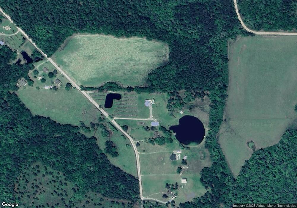
Map
Nearby Homes
- 421 Best Cir
- 8774 Antioch Rd
- 693 Old Quitman Annex Rd
- 0 Burton Rd Unit 23760976
- 0 Burton Rd Unit 23669194
- 289 Arthur Newbern Rd
- 2590 McConnell Bridge Rd
- 3231 Old Quitman Rd
- TBD Ga Hwy 76
- TBD Hwy 76
- 515 John Keigans Memorial
- 25 Stephen Williams Ln
- 410 Railroad St
- 0 Southerland Ave
- 0 Georgia 76
- 5808 Georgia 133
- 313 Langford St
- 4711 Highway 37
- 7051 Antioch Rd
- 800 Old Quitman Rd
- 777 R Folsom Rd
- 809 R Folsom Rd
- 556 R Folsom Rd
- 530 R Folsom Rd
- 518 R Folsom Rd
- 406 R Folsom Rd
- 840 Springhead Church Rd
- 6145 Antioch Rd
- 888 Springhead Church Rd
- 2524 Greggs Rd
- 2639 Greggs Rd
- 900 Springhead Church Rd
- 224 Henry Folsom Rd
- 6060 Antioch Rd
- 680 Henry Folsom Rd
- 400 Henry Folsom Rd
- 5869 Antioch Rd
- 6020 Antioch Rd
- 878 Henry Folsom Rd
- 5867 Antioch Rd