72 Churchwood Ln Moultonborough, NH 03254
Estimated Value: $2,537,000 - $4,213,063
4
Beds
4
Baths
6,731
Sq Ft
$501/Sq Ft
Est. Value
About This Home
This home is located at 72 Churchwood Ln, Moultonborough, NH 03254 and is currently estimated at $3,375,032, approximately $501 per square foot. 72 Churchwood Ln is a home with nearby schools including Moultonborough Central School and Moultonborough Academy High School.
Ownership History
Date
Name
Owned For
Owner Type
Purchase Details
Closed on
Oct 8, 1998
Sold by
Wood & Clay Partners
Bought by
Desmond Timothy F and Desmond Donna
Current Estimated Value
Create a Home Valuation Report for This Property
The Home Valuation Report is an in-depth analysis detailing your home's value as well as a comparison with similar homes in the area
Home Values in the Area
Average Home Value in this Area
Purchase History
| Date | Buyer | Sale Price | Title Company |
|---|---|---|---|
| Desmond Timothy F | $500,000 | -- |
Source: Public Records
Mortgage History
| Date | Status | Borrower | Loan Amount |
|---|---|---|---|
| Open | Desmond Timothy F | $500,000 | |
| Closed | Desmond Timothy F | $365,000 |
Source: Public Records
Tax History Compared to Growth
Tax History
| Year | Tax Paid | Tax Assessment Tax Assessment Total Assessment is a certain percentage of the fair market value that is determined by local assessors to be the total taxable value of land and additions on the property. | Land | Improvement |
|---|---|---|---|---|
| 2024 | $30,133 | $5,333,300 | $2,646,900 | $2,686,400 |
| 2023 | $28,310 | $4,966,700 | $2,368,600 | $2,598,100 |
| 2022 | $20,344 | $4,256,000 | $1,974,400 | $2,281,600 |
| 2021 | $22,332 | $3,199,400 | $1,543,400 | $1,656,000 |
| 2020 | $20,716 | $2,905,500 | $1,301,100 | $1,604,400 |
| 2019 | $18,621 | $2,604,400 | $1,269,400 | $1,335,000 |
| 2018 | $18,649 | $2,415,700 | $1,088,000 | $1,327,700 |
| 2017 | $18,910 | $2,300,500 | $1,088,000 | $1,212,500 |
| 2016 | $20,076 | $2,297,000 | $1,107,100 | $1,189,900 |
| 2015 | $19,993 | $2,219,000 | $1,107,100 | $1,111,900 |
| 2014 | $19,988 | $2,256,000 | $1,144,100 | $1,111,900 |
| 2013 | $19,609 | $2,256,500 | $1,144,100 | $1,112,400 |
Source: Public Records
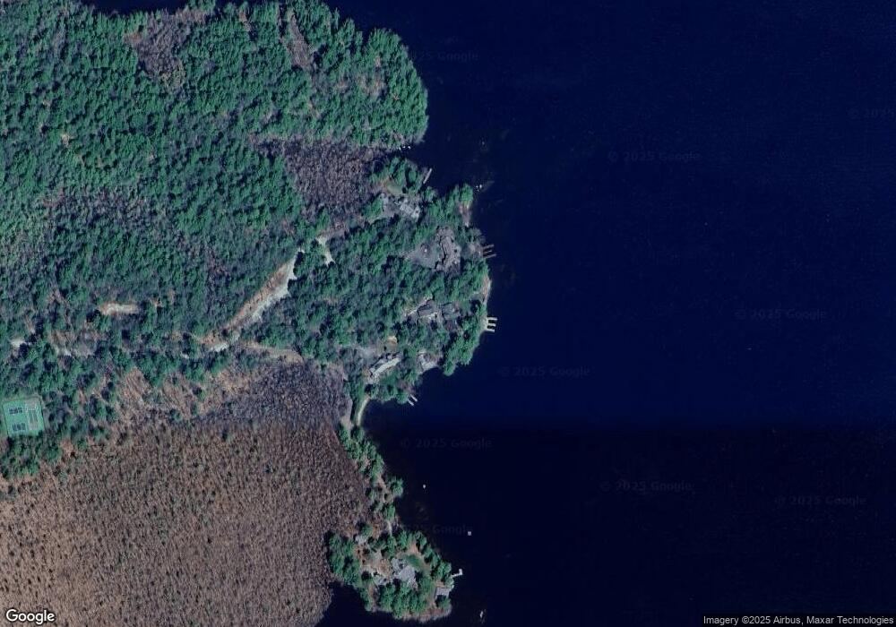
Map
Nearby Homes
- 16 Long Island Rd
- 00 Moultonboro Neck Rd Unit 2
- 00 Moultonboro Neck Rd
- 31 Rays Way
- 00 Beede Rd
- 65 Beede Rd
- 10 Woodridge Rd
- 109 Leaward Shores Rd
- 167 Long Island Rd
- 130 W Point Rd
- 42 High Ridge Rd
- 14 Island View Dr
- 5 Ferry Rd
- 19 Alderberry Ln
- 152 Wildwood Dr
- 7 Flint Dr
- 00 Rivers Rd
- 27 First Point Rd
- 9 Starboard Ln Unit 1
- 29 Kona Farm Rd
- 84 Churchwood Ln
- 062 Park Ln
- 80 Churchwood Ln
- 18 Canoe Ln
- 24 Canoe Ln
- 23 Winaukee Rd
- 63 Winaukee Rd
- 37 Winaukee Rd
- 2 Twin Meadows Ln
- 1 Twin Meadows Ln
- 65 Winaukee Rd
- 71 Winaukee Rd
- 10 Stuart Cir
- 77 Winaukee Rd
- 7 Stuart Cir
- 1006 Moultonboro Neck Rd
- 17 Geneva Point Rd
- 11 Stuart Cir
- 19 Geneva Point Rd
- 1082 Moultonboro Neck Rd