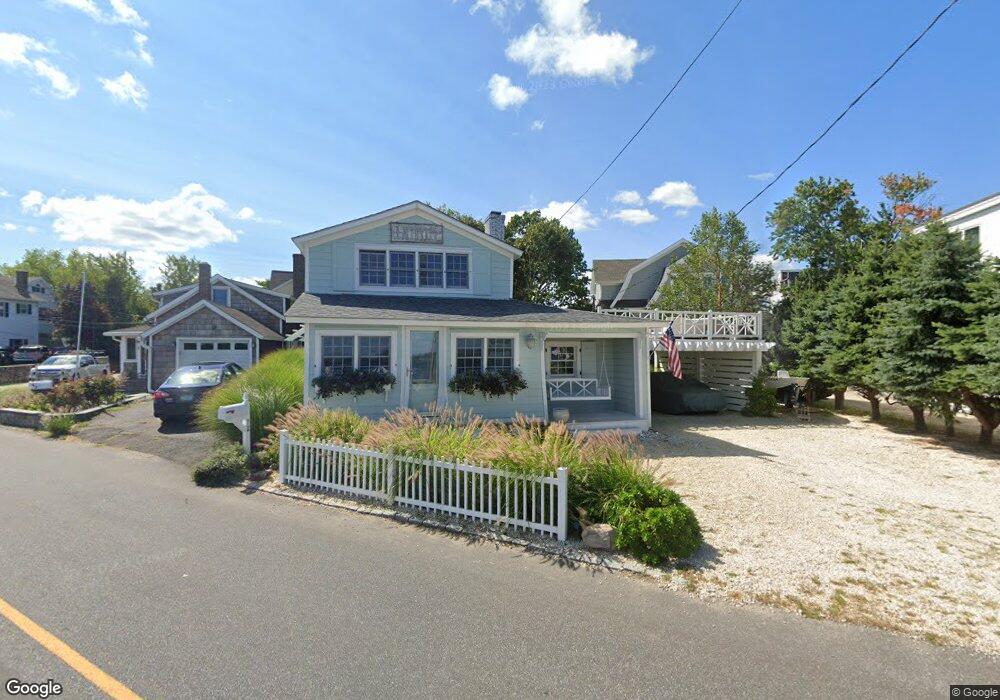
72 Harbor Rd Westport, CT 06880
Saugatuck NeighborhoodEstimated Value: $1,342,529 - $1,847,000
2
Beds
2
Baths
1,116
Sq Ft
$1,407/Sq Ft
Est. Value
About This Home
This home is located at 72 Harbor Rd, Westport, CT 06880 and is currently estimated at $1,569,882, approximately $1,406 per square foot. 72 Harbor Rd is a home located in Fairfield County with nearby schools including King's Highway Elementary School, Coleytown Middle School, and Staples High School.
Ownership History
Date
Name
Owned For
Owner Type
Purchase Details
Closed on
Aug 6, 2024
Sold by
Swept Away Llc
Bought by
Camarda Angela M
Current Estimated Value
Purchase Details
Closed on
Feb 22, 2018
Sold by
Camarda Angela M
Bought by
Swept Away Llc
Purchase Details
Closed on
Jan 29, 2004
Sold by
Llorens George M
Bought by
Camarda Angela
Home Financials for this Owner
Home Financials are based on the most recent Mortgage that was taken out on this home.
Original Mortgage
$525,000
Interest Rate
4.25%
Purchase Details
Closed on
Aug 19, 1996
Sold by
Deluga Josephine
Bought by
Jamieson Stuart and Jamieson Susan
Home Financials for this Owner
Home Financials are based on the most recent Mortgage that was taken out on this home.
Original Mortgage
$272,000
Interest Rate
8.08%
Mortgage Type
Unknown
Create a Home Valuation Report for This Property
The Home Valuation Report is an in-depth analysis detailing your home's value as well as a comparison with similar homes in the area
Home Values in the Area
Average Home Value in this Area
Purchase History
| Date | Buyer | Sale Price | Title Company |
|---|---|---|---|
| Camarda Angela M | -- | None Available | |
| Camarda Angela M | -- | None Available | |
| Camarda Angela M | -- | None Available | |
| Swept Away Llc | -- | -- | |
| Swept Away Llc | -- | -- | |
| Camarda Angela | $700,000 | -- | |
| Jamieson Stuart | $340,000 | -- | |
| Swept Away Llc | -- | -- | |
| Camarda Angela | $700,000 | -- | |
| Jamieson Stuart | $340,000 | -- |
Source: Public Records
Mortgage History
| Date | Status | Borrower | Loan Amount |
|---|---|---|---|
| Previous Owner | Jamieson Stuart | $525,000 | |
| Previous Owner | Jamieson Stuart | $272,000 |
Source: Public Records
Tax History Compared to Growth
Tax History
| Year | Tax Paid | Tax Assessment Tax Assessment Total Assessment is a certain percentage of the fair market value that is determined by local assessors to be the total taxable value of land and additions on the property. | Land | Improvement |
|---|---|---|---|---|
| 2025 | $11,880 | $629,900 | $566,300 | $63,600 |
| 2024 | $11,729 | $629,900 | $566,300 | $63,600 |
| 2023 | $11,504 | $626,900 | $566,300 | $60,600 |
| 2022 | $11,328 | $626,900 | $566,300 | $60,600 |
| 2021 | $11,328 | $626,900 | $566,300 | $60,600 |
| 2020 | $10,058 | $663,300 | $595,600 | $67,700 |
| 2019 | $11,183 | $663,300 | $595,600 | $67,700 |
| 2018 | $9,833 | $663,300 | $595,600 | $67,700 |
| 2017 | $9,651 | $663,300 | $595,600 | $67,700 |
| 2016 | $11,183 | $663,300 | $595,600 | $67,700 |
| 2015 | $13,537 | $748,300 | $665,200 | $83,100 |
| 2014 | $13,425 | $748,300 | $665,200 | $83,100 |
Source: Public Records
Map
Nearby Homes
- 8 Canal Rd
- 3 Nassau Rd
- 5 Minard Dr
- 34 Shorehaven Rd
- 14 Owenoke Park
- 11 Manitou Ct
- 6 Stony Point Rd
- 12 Pine Hill Ave
- 18 Roxbury Rd
- 1 Island Dr Unit 18
- 25 Dairy Farm Rd
- 14 Scofield Place
- 108 Gregory Blvd
- 38 Gregory Blvd
- 14 Dairy Farm Rd
- 5 Hidden Hill Rd
- 199 Gregory Blvd Unit D2
- 199 Gregory Blvd Unit E4
- 24 Compo Pkwy
- 54 Cove Ave
- 2 Scofield Place
- 70 Harbor Rd
- 4 Scofield Place
- 1 Conte Place
- 68 Harbor Rd
- 80A Harbor Rd Unit REAR
- 80A Harbor Rd
- 5 Rowland Place
- 66 Harbor Rd
- 6 Scofield Place
- 7 Rowland Place
- 2 Conte Place
- 8 Scofield Place
- 9 Rowland Place
- 64 Harbor Rd
- 39 Bermuda Rd
- 8 Rowland Place
- 10 Scofield Place
- 10 Rowland Place
- 80 Harbor Rd