72 Ravenswood Rd Waltham, MA 02453
Estimated Value: $1,009,000 - $1,292,000
4
Beds
2
Baths
2,848
Sq Ft
$398/Sq Ft
Est. Value
About This Home
This home is located at 72 Ravenswood Rd, Waltham, MA 02453 and is currently estimated at $1,132,891, approximately $397 per square foot. 72 Ravenswood Rd is a home located in Middlesex County with nearby schools including Thomas R Plympton Elementary School, John F Kennedy Middle School, and Waltham Sr High School.
Ownership History
Date
Name
Owned For
Owner Type
Purchase Details
Closed on
Jun 9, 1999
Sold by
Burke Katherine and Burke Edward J
Bought by
Huff John L
Current Estimated Value
Home Financials for this Owner
Home Financials are based on the most recent Mortgage that was taken out on this home.
Original Mortgage
$156,000
Outstanding Balance
$40,634
Interest Rate
6.9%
Mortgage Type
Purchase Money Mortgage
Estimated Equity
$1,092,257
Create a Home Valuation Report for This Property
The Home Valuation Report is an in-depth analysis detailing your home's value as well as a comparison with similar homes in the area
Home Values in the Area
Average Home Value in this Area
Purchase History
| Date | Buyer | Sale Price | Title Company |
|---|---|---|---|
| Huff John L | $195,000 | -- |
Source: Public Records
Mortgage History
| Date | Status | Borrower | Loan Amount |
|---|---|---|---|
| Open | Huff John L | $156,000 |
Source: Public Records
Tax History Compared to Growth
Tax History
| Year | Tax Paid | Tax Assessment Tax Assessment Total Assessment is a certain percentage of the fair market value that is determined by local assessors to be the total taxable value of land and additions on the property. | Land | Improvement |
|---|---|---|---|---|
| 2025 | $10,028 | $1,021,200 | $474,500 | $546,700 |
| 2024 | $9,717 | $1,008,000 | $465,700 | $542,300 |
| 2023 | $9,629 | $933,000 | $421,800 | $511,200 |
| 2022 | $9,724 | $872,900 | $386,700 | $486,200 |
| 2021 | $9,692 | $856,200 | $386,700 | $469,500 |
| 2020 | $9,658 | $808,200 | $360,300 | $447,900 |
| 2019 | $8,987 | $709,900 | $339,700 | $370,200 |
| 2018 | $8,146 | $646,000 | $314,600 | $331,400 |
| 2017 | $7,761 | $617,900 | $286,500 | $331,400 |
| 2016 | $7,498 | $612,600 | $281,200 | $331,400 |
| 2015 | $7,323 | $557,700 | $246,100 | $311,600 |
Source: Public Records
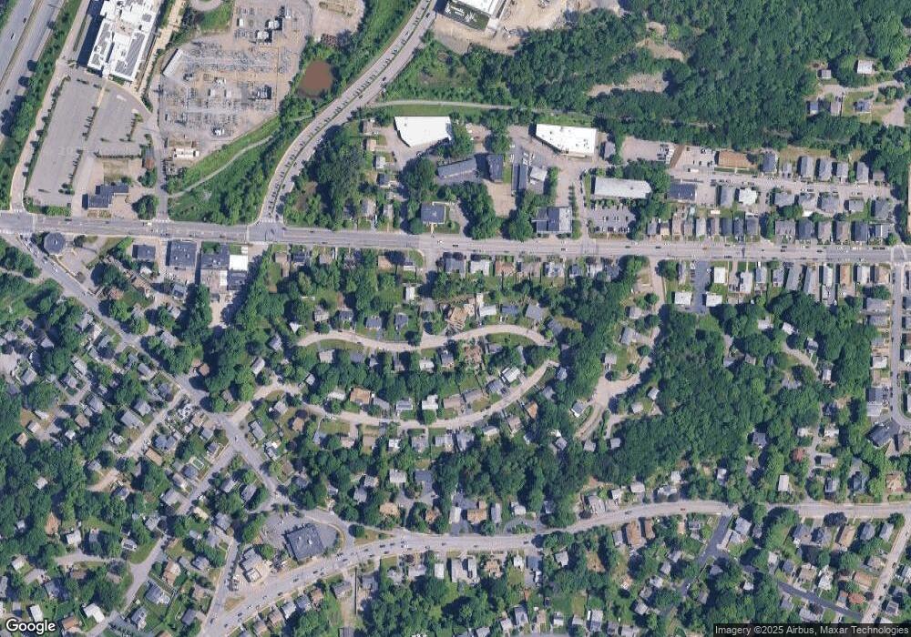
Map
Nearby Homes
- 202 Bear Hill Rd
- 79-81 Vernon St
- 948 Main St Unit 209
- 948 Main St Unit 105
- 15 Banks St Unit 4
- 43-45 Welligton Unit 3
- 91 Prentice St
- 39 Floyd St Unit 2
- 15 Howard St
- 37 Summit St
- 32 Harvard St Unit 2
- 14 Willard St
- 17 Lexington St
- 85 Crescent St
- 55-57 Crescent St
- 160 School St Unit 3-1
- 7-11.5 Felton
- 326 Bacon St
- 15 Whitney Tavern Rd
- 60 Rolling Ln
- 80 Ravenswood Rd
- 1186 Main St
- 1186 Main St Unit 1
- 1182 Main St Unit 1
- 1182 Main St
- 79 Ravenswood Rd
- 79 Ravenswood Rd Unit 1
- 79 Ravenswood Rd
- 65 Ravenswood Rd
- 1188 Main St Unit 2
- 56 Ravenswood Rd
- 84 Ravenswood Rd
- 1180 Main St Unit 1180
- 11 Sheridan Rd
- 61 Ravenswood Rd
- 1174 Main St
- 1174 Main St Unit 1
- 1174 Main St Unit 1174
- 1200 Main St
- 95 Ravenswood Rd