720 Shirley Rd Lexington, NC 27292
Estimated Value: $502,000 - $686,000
3
Beds
2
Baths
2,865
Sq Ft
$211/Sq Ft
Est. Value
About This Home
This home is located at 720 Shirley Rd, Lexington, NC 27292 and is currently estimated at $605,477, approximately $211 per square foot. 720 Shirley Rd is a home located in Davidson County with nearby schools including Southmont Elementary School, Central Davidson Middle School, and Central Davidson High School.
Ownership History
Date
Name
Owned For
Owner Type
Purchase Details
Closed on
Dec 13, 2021
Sold by
Randy Lohr Sherman and Randy Amy C
Bought by
Randy And Amy Lohr Revocable Trust
Current Estimated Value
Purchase Details
Closed on
Aug 14, 2008
Sold by
Lohr Sherman Paul and Lohr Joyce K
Bought by
Lohr Roger Dale
Purchase Details
Closed on
Jan 19, 2007
Sold by
Speedy Lohrs Bbq Inc
Bought by
Lohr Sherman Paul and Lohr Joyce K
Purchase Details
Closed on
Feb 1, 1991
Purchase Details
Closed on
Jun 1, 1988
Create a Home Valuation Report for This Property
The Home Valuation Report is an in-depth analysis detailing your home's value as well as a comparison with similar homes in the area
Home Values in the Area
Average Home Value in this Area
Purchase History
| Date | Buyer | Sale Price | Title Company |
|---|---|---|---|
| Randy And Amy Lohr Revocable Trust | -- | Brinkley Walser Stoner Pllc | |
| Lohr Roger Dale | -- | None Available | |
| Lohr Sherman Randy | -- | None Available | |
| Lohr Sherman Randy | -- | None Available | |
| Lohr Sherman Paul | -- | None Available | |
| -- | -- | -- | |
| -- | $60,000 | -- |
Source: Public Records
Tax History Compared to Growth
Tax History
| Year | Tax Paid | Tax Assessment Tax Assessment Total Assessment is a certain percentage of the fair market value that is determined by local assessors to be the total taxable value of land and additions on the property. | Land | Improvement |
|---|---|---|---|---|
| 2025 | $2,562 | $388,250 | $0 | $0 |
| 2024 | $2,562 | $388,250 | $0 | $0 |
| 2023 | $2,562 | $388,250 | $0 | $0 |
| 2022 | $2,562 | $388,250 | $0 | $0 |
| 2021 | $1,709 | $271,110 | $0 | $0 |
| 2020 | $1,485 | $235,610 | $0 | $0 |
| 2019 | $1,508 | $235,610 | $0 | $0 |
| 2018 | $1,473 | $235,610 | $0 | $0 |
| 2017 | $1,473 | $235,610 | $0 | $0 |
| 2016 | $2,210 | $353,580 | $0 | $0 |
| 2015 | $2,210 | $353,580 | $0 | $0 |
| 2014 | $2,400 | $384,000 | $0 | $0 |
Source: Public Records
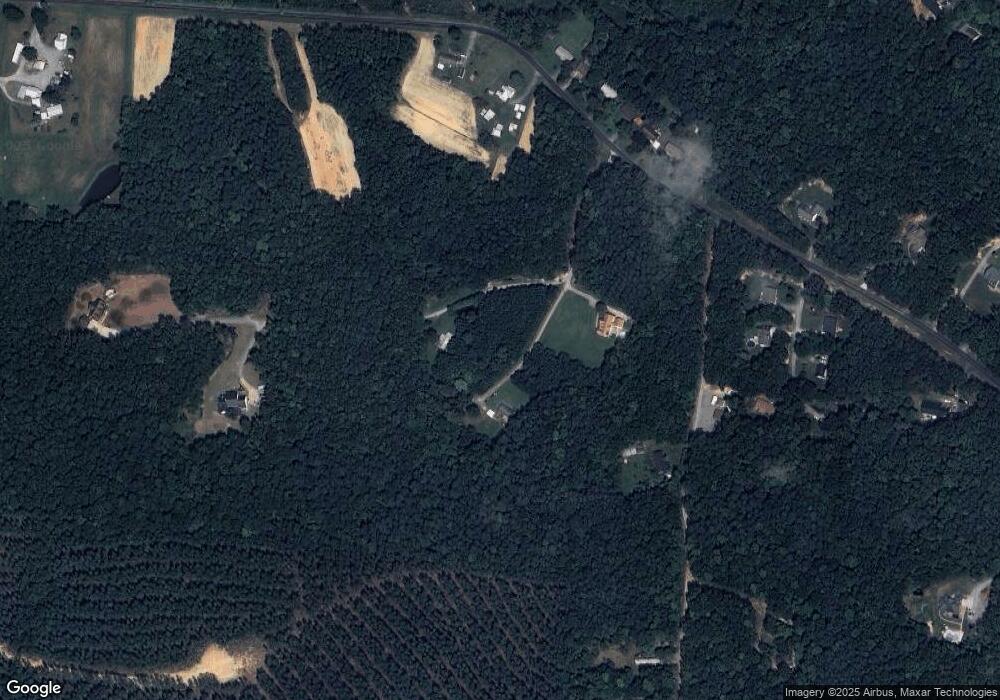
Map
Nearby Homes
- 120 Cross Creek Rd
- 195 H L Palmer Rd
- 138 Scarlet Ln
- 172 Tuscola Dr
- 418 Nottingham Dr
- 223 Periwinkle Ln
- 311 Marigold Ln
- 152 Sherwood Dr
- 366 Sherwood Dr
- 314 Robin Hood Rd
- 1010 High Rock Shores Dr
- 128 Saint Albans Ln
- 1723 Shiptontown Rd
- 00 Sir Abbott Ln
- 156 Asher Ln
- 2511 Shoreline Dr Unit 8
- 511 Rolling Rd
- 15215 Nc Highway 8
- 524 Old Silver Hill Rd
- 795 Lake Shore Ave