720A Delair Rd Monroe Township, NJ 08831
Estimated Value: $435,000 - $524,000
--
Bed
--
Bath
1,612
Sq Ft
$287/Sq Ft
Est. Value
About This Home
This home is located at 720A Delair Rd, Monroe Township, NJ 08831 and is currently estimated at $462,649, approximately $287 per square foot. 720A Delair Rd is a home located in Middlesex County with nearby schools including Oak Tree Elementary School, Monroe Township Middle School, and Monroe Township High School.
Ownership History
Date
Name
Owned For
Owner Type
Purchase Details
Closed on
Oct 19, 2022
Sold by
Guttridge Michael
Bought by
Warren Robin
Current Estimated Value
Home Financials for this Owner
Home Financials are based on the most recent Mortgage that was taken out on this home.
Original Mortgage
$315,000
Interest Rate
7.08%
Mortgage Type
New Conventional
Purchase Details
Closed on
Dec 31, 2021
Sold by
Beverly Manning
Bought by
Guttridge Michael
Purchase Details
Closed on
Jun 15, 2005
Sold by
Merrill Lynch Trust Co
Bought by
Manning Beverly
Create a Home Valuation Report for This Property
The Home Valuation Report is an in-depth analysis detailing your home's value as well as a comparison with similar homes in the area
Home Values in the Area
Average Home Value in this Area
Purchase History
| Date | Buyer | Sale Price | Title Company |
|---|---|---|---|
| Warren Robin | $420,000 | First American Title | |
| Guttridge Michael | $245,000 | Associated Title | |
| Guttridge Michael | $245,000 | Associated Title | |
| Manning Beverly | $239,900 | -- |
Source: Public Records
Mortgage History
| Date | Status | Borrower | Loan Amount |
|---|---|---|---|
| Previous Owner | Warren Robin | $315,000 |
Source: Public Records
Tax History Compared to Growth
Tax History
| Year | Tax Paid | Tax Assessment Tax Assessment Total Assessment is a certain percentage of the fair market value that is determined by local assessors to be the total taxable value of land and additions on the property. | Land | Improvement |
|---|---|---|---|---|
| 2025 | $4,014 | $142,800 | $36,000 | $106,800 |
| 2024 | $3,874 | $142,800 | $36,000 | $106,800 |
| 2023 | $3,874 | $142,800 | $36,000 | $106,800 |
| 2022 | $3,046 | $123,600 | $36,000 | $87,600 |
| 2021 | $2,601 | $123,600 | $36,000 | $87,600 |
| 2020 | $3,035 | $123,600 | $36,000 | $87,600 |
| 2019 | $3,211 | $123,600 | $36,000 | $87,600 |
| 2018 | $2,936 | $123,600 | $36,000 | $87,600 |
| 2017 | $2,887 | $123,600 | $36,000 | $87,600 |
| 2016 | $3,090 | $123,600 | $36,000 | $87,600 |
| 2015 | $2,766 | $123,600 | $36,000 | $87,600 |
| 2014 | $2,664 | $123,600 | $36,000 | $87,600 |
Source: Public Records
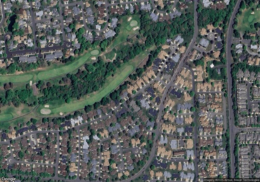
Map
Nearby Homes
- 732 Ralston Plaza Unit A
- 742A Pompton Rd Unit 742A
- 742A Pompton Rd Unit A
- 780B Ardmore Rd
- 278 Crosse Dr Unit 3G
- 235A Vernon Rd
- 235A Vernon Rd Unit A
- 278 -3G Crosse
- 639 Madison Dr Unit 639C
- 265 Crosse Dr Unit 265A
- 218 N Pondview Blvd
- 211 Doremus Dr
- 213 Doremus Dr Unit c
- 301A Yardley Dr Unit A
- 301 Yardley Dr Unit A
- 13B Ashbourne Dr
- 13 Ashbourne Dr Unit B
- 13 Ashbourne Dr Unit 13B
- 36 Haddon Rd
- 297A Yardley Dr
- 720B Delair Rd
- 719 Delair Rd Unit B
- 719B Delair Rd
- 720C Delair Rd
- 503 Delair Rd Unit B
- 717 Delair Rd
- 717 Delair Rd Unit B
- 733 Delair Rd Unit A
- 733 Delair Rd
- A Ralston Plaza
- 719A Delair Rd
- 739 Prospect Rd Unit 739A
- 739A Prospect Rd
- 721A Delair Rd
- 740A Pompton Rd
- 721B Delair Rd
- 721B Delair Rd Unit B
- 740B Pompton Rd Unit 740B
- 718A Delair Rd
- 724 Ralston Plaza