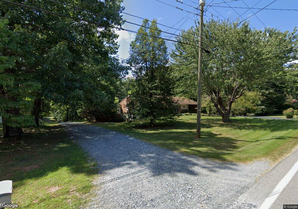
722 Dixie Airport Rd Madison Heights, VA 24572
Estimated Value: $204,000 - $222,000
3
Beds
1
Bath
1,080
Sq Ft
$200/Sq Ft
Est. Value
About This Home
This home is located at 722 Dixie Airport Rd, Madison Heights, VA 24572 and is currently estimated at $215,582, approximately $199 per square foot. 722 Dixie Airport Rd is a home located in Amherst County with nearby schools including Amelon Elementary School, Monelison Middle School, and Amherst County High School.
Ownership History
Date
Name
Owned For
Owner Type
Purchase Details
Closed on
Nov 20, 2007
Sold by
Arthur Minabelle W
Bought by
Massie Marie A
Current Estimated Value
Home Financials for this Owner
Home Financials are based on the most recent Mortgage that was taken out on this home.
Original Mortgage
$131,530
Outstanding Balance
$82,876
Interest Rate
6.3%
Mortgage Type
New Conventional
Estimated Equity
$132,706
Purchase Details
Closed on
May 31, 2007
Sold by
Arthur Howard B and Arthur Minabelle W
Bought by
Arthur Minabelle W
Create a Home Valuation Report for This Property
The Home Valuation Report is an in-depth analysis detailing your home's value as well as a comparison with similar homes in the area
Home Values in the Area
Average Home Value in this Area
Purchase History
| Date | Buyer | Sale Price | Title Company |
|---|---|---|---|
| Massie Marie A | -- | Southern Title | |
| Arthur Minabelle W | -- | None Available |
Source: Public Records
Mortgage History
| Date | Status | Borrower | Loan Amount |
|---|---|---|---|
| Open | Massie Marie A | $131,530 |
Source: Public Records
Tax History Compared to Growth
Tax History
| Year | Tax Paid | Tax Assessment Tax Assessment Total Assessment is a certain percentage of the fair market value that is determined by local assessors to be the total taxable value of land and additions on the property. | Land | Improvement |
|---|---|---|---|---|
| 2025 | $740 | $121,300 | $15,000 | $106,300 |
| 2024 | $740 | $121,300 | $15,000 | $106,300 |
| 2023 | $740 | $121,300 | $15,000 | $106,300 |
| 2022 | $740 | $121,300 | $15,000 | $106,300 |
| 2021 | $740 | $121,300 | $15,000 | $106,300 |
| 2020 | $740 | $121,300 | $15,000 | $106,300 |
| 2019 | $752 | $123,200 | $21,000 | $102,200 |
| 2018 | $752 | $123,200 | $21,000 | $102,200 |
| 2017 | $721 | $113,200 | $21,000 | $92,200 |
| 2016 | $691 | $113,200 | $21,000 | $92,200 |
| 2015 | $634 | $113,200 | $21,000 | $92,200 |
| 2014 | $634 | $113,200 | $21,000 | $92,200 |
Source: Public Records
Map
Nearby Homes
- 571 Dixie Airport Rd
- 121 Crestwood Dr
- 250 S Wood Duck Dr
- 327 Dixie Airport Rd
- 150 Glenwood Dr
- 272 Dixie Airport Rd
- 0 Commonwealth Dr Unit 361760
- 505 Royal Gardens Ct
- 151 Stratford Place
- 0 Lot 10 & 11 Stoney Creek Dr Unit 345183
- TBD Stratford Place Unit 39
- 51 Patrick Ct
- 164 Glade Rd
- 1769 Izaak Walton Rd
- 289 Todd Ln
- 0 Monticello Ln
- 255 Glade Rd
- 172 Stoney Creek Dr
- 4123 S Amherst Hwy
- 0 Izaak Walton Rd
- 718 Dixie Airport Rd
- 733 Dixie Airport Rd
- 725 Dixie Airport Rd
- 736 Dixie Airport Rd
- 742 Dixie Airport Rd
- 712 Dixie Airport Rd
- 715 Dixie Airport Rd
- 741 Dixie Airport Rd
- 705 Dixie Airport Rd
- 752 Dixie Airport Rd
- 105 Old Cabin Trail
- 702 Dixie Airport Rd
- 703 Dixie Airport Rd
- 730 Dixie Airport Rd
- 117 Old Cabin Trail
- 170172 Pine Acres Dr
- 701 Dixie Airport Rd
- 756 Dixie Airport Rd
- 695 Dixie Airport Rd
- 166 Lamont Cir