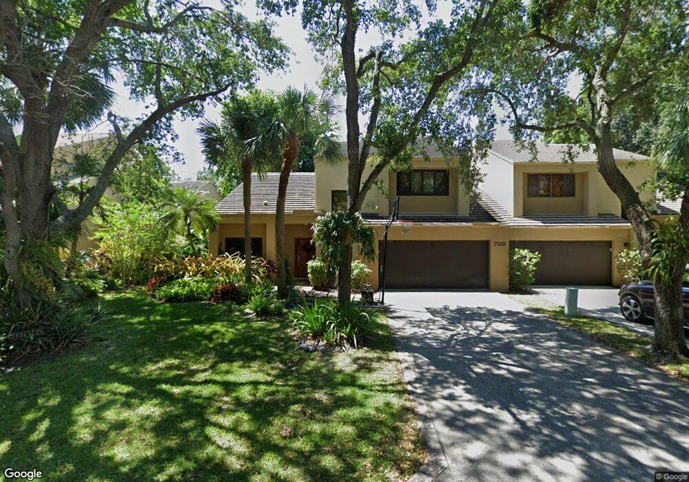
722 Saint Albans Dr Boca Raton, FL 33486
The Pinelands NeighborhoodEstimated Value: $597,690 - $705,000
3
Beds
2
Baths
1,990
Sq Ft
$319/Sq Ft
Est. Value
About This Home
This home is located at 722 Saint Albans Dr, Boca Raton, FL 33486 and is currently estimated at $635,423, approximately $319 per square foot. 722 Saint Albans Dr is a home located in Palm Beach County with nearby schools including J. C. Mitchell Elementary School, Boca Raton Community Middle School, and Boca Raton Community High School.
Ownership History
Date
Name
Owned For
Owner Type
Purchase Details
Closed on
Mar 3, 2024
Sold by
Giersbrook Edward L
Bought by
Edward L Giersbrook Revocable Trust and Giersbrook
Current Estimated Value
Purchase Details
Closed on
Dec 21, 2004
Sold by
Cannata Robert E
Bought by
Giersbrook Edward
Home Financials for this Owner
Home Financials are based on the most recent Mortgage that was taken out on this home.
Original Mortgage
$289,750
Interest Rate
5.66%
Mortgage Type
Purchase Money Mortgage
Purchase Details
Closed on
Nov 12, 1997
Sold by
Shockley Robert E and Shockley Marginia K
Bought by
Cannata Robert E
Create a Home Valuation Report for This Property
The Home Valuation Report is an in-depth analysis detailing your home's value as well as a comparison with similar homes in the area
Home Values in the Area
Average Home Value in this Area
Purchase History
| Date | Buyer | Sale Price | Title Company |
|---|---|---|---|
| Edward L Giersbrook Revocable Trust | -- | None Listed On Document | |
| Giersbrook Edward | $305,000 | Trans State Title Ins Corp | |
| Cannata Robert E | $162,000 | -- |
Source: Public Records
Mortgage History
| Date | Status | Borrower | Loan Amount |
|---|---|---|---|
| Previous Owner | Giersbrook Edward | $289,750 | |
| Previous Owner | Cannata Robert E | $60,000 | |
| Previous Owner | Cannata Robert E | $47,000 |
Source: Public Records
Tax History Compared to Growth
Tax History
| Year | Tax Paid | Tax Assessment Tax Assessment Total Assessment is a certain percentage of the fair market value that is determined by local assessors to be the total taxable value of land and additions on the property. | Land | Improvement |
|---|---|---|---|---|
| 2024 | $7,669 | $417,667 | -- | -- |
| 2023 | $7,327 | $379,697 | $0 | $0 |
| 2022 | $6,719 | $345,179 | $0 | $0 |
| 2021 | $6,158 | $350,272 | $0 | $350,272 |
| 2020 | $5,391 | $285,272 | $0 | $285,272 |
| 2019 | $5,446 | $280,000 | $0 | $280,000 |
| 2018 | $5,205 | $280,000 | $0 | $280,000 |
| 2017 | $5,276 | $280,000 | $0 | $0 |
| 2016 | $5,160 | $266,200 | $0 | $0 |
| 2015 | $5,035 | $242,000 | $0 | $0 |
| 2014 | $4,457 | $220,000 | $0 | $0 |
Source: Public Records
Map
Nearby Homes
- 1400 NW 9th Ave Unit E33
- 745 Saint Albans Dr
- 715 Saint Albans Dr
- 753 Saint Albans Dr
- 754 Saint Albans Dr
- 755 St Albans Dr
- 825 NW 13th St Unit 115
- 825 NW 13th St Unit 1110
- 875 NW 13th St Unit 411
- 1050 NW 13th St Unit 285D
- 1061 NW 13th St Unit 2
- 1024 NW 13th St Unit 247B
- 612 NW 13th St Unit 270
- 1074 NW 13th St Unit 155C
- 636 NW 13th St Unit 170
- 610 NW 13th St Unit 160
- 1100 NW 13th St Unit 284D
- 642 NW 13th St Unit 310
- 861 NW 7th St
- 640 NW 13th St Unit 260
- 720 Saint Albans Dr
- 724 Saint Albans Dr
- 718 Saint Albans Dr
- 726 Saint Albans Dr Unit 38
- 726 Saint Albans Dr
- 716 Saint Albans Dr Unit 43
- 716 Saint Albans Dr
- 728 Saint Albans Dr
- 725 Saint Albans Dr
- 723 Saint Albans Dr
- 727 Saint Albans Dr
- 721 Saint Albans Dr Unit 87
- 721 Saint Albans Dr
- 714 Saint Albans Dr
- 730 Saint Albans Dr
- 719 Saint Albans Dr
- 729 Saint Albans Dr Unit 1
- 729 Saint Albans Dr
- 717 Saint Albans Dr
- 732 Saint Albans Dr