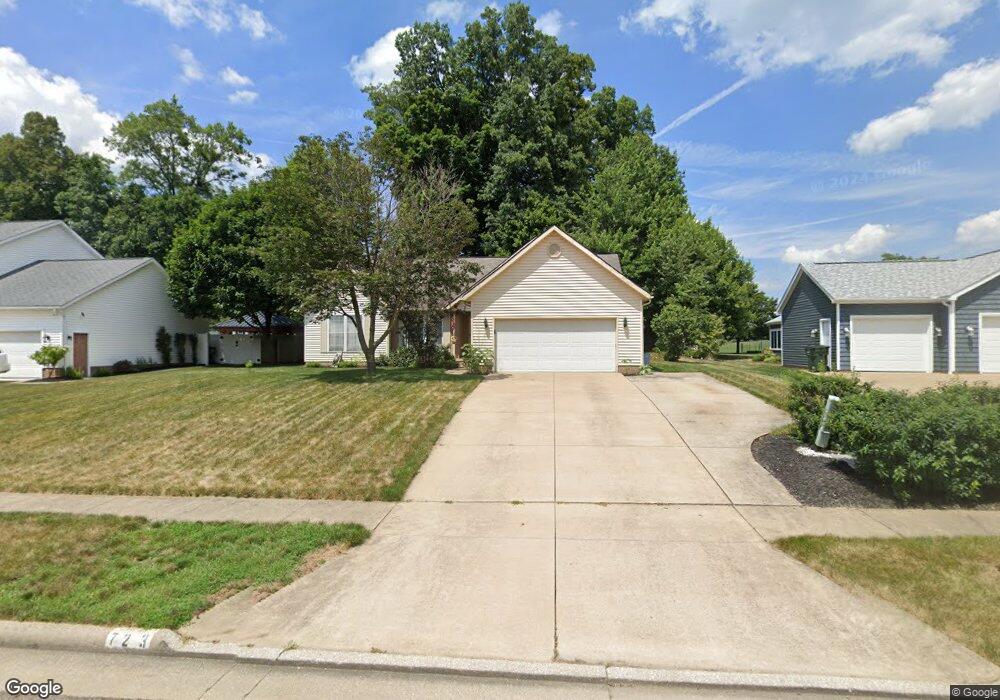
723 E Reno Dr Louisville, OH 44641
Estimated Value: $262,693 - $301,000
3
Beds
2
Baths
1,652
Sq Ft
$170/Sq Ft
Est. Value
About This Home
This home is located at 723 E Reno Dr, Louisville, OH 44641 and is currently estimated at $281,173, approximately $170 per square foot. 723 E Reno Dr is a home located in Stark County with nearby schools including Louisville High School and St. Thomas Aquinas High School & Middle School.
Ownership History
Date
Name
Owned For
Owner Type
Purchase Details
Closed on
Apr 29, 2022
Sold by
Gotch Albert J and Gotch Karla M
Bought by
Gotch Albert J and Gotch Karla M
Current Estimated Value
Purchase Details
Closed on
Mar 23, 2001
Sold by
Lemmon & Lemmon Inc
Bought by
Gotch Albert J and Gotch Karla M
Home Financials for this Owner
Home Financials are based on the most recent Mortgage that was taken out on this home.
Original Mortgage
$129,600
Interest Rate
7.05%
Mortgage Type
Purchase Money Mortgage
Create a Home Valuation Report for This Property
The Home Valuation Report is an in-depth analysis detailing your home's value as well as a comparison with similar homes in the area
Home Values in the Area
Average Home Value in this Area
Purchase History
| Date | Buyer | Sale Price | Title Company |
|---|---|---|---|
| Gotch Albert J | -- | -- | |
| Gotch Albert J | $162,000 | Chicago Title Insurance Comp | |
| Lemmon & Lemmon Inc | -- | Chicago Title Insurance Comp |
Source: Public Records
Mortgage History
| Date | Status | Borrower | Loan Amount |
|---|---|---|---|
| Previous Owner | Gotch Albert J | $129,600 |
Source: Public Records
Tax History Compared to Growth
Tax History
| Year | Tax Paid | Tax Assessment Tax Assessment Total Assessment is a certain percentage of the fair market value that is determined by local assessors to be the total taxable value of land and additions on the property. | Land | Improvement |
|---|---|---|---|---|
| 2025 | -- | $80,050 | $28,700 | $51,350 |
| 2024 | -- | $80,050 | $28,700 | $51,350 |
| 2023 | $2,765 | $64,340 | $16,980 | $47,360 |
| 2022 | $2,771 | $64,340 | $16,980 | $47,360 |
| 2021 | $2,778 | $64,340 | $16,980 | $47,360 |
| 2020 | $2,290 | $57,580 | $15,300 | $42,280 |
| 2019 | $2,299 | $57,580 | $15,300 | $42,280 |
| 2018 | $2,290 | $57,580 | $15,300 | $42,280 |
| 2017 | $2,056 | $49,880 | $12,010 | $37,870 |
| 2016 | $2,099 | $49,880 | $12,010 | $37,870 |
| 2015 | $2,105 | $49,880 | $12,010 | $37,870 |
| 2014 | $49 | $45,150 | $10,850 | $34,300 |
| 2013 | $1,028 | $45,150 | $10,850 | $34,300 |
Source: Public Records
Map
Nearby Homes
- 910 Crosswyck Cir
- 316 E Reno Dr
- 1170 Winding Ridge Ave
- 5474 Ravenna Ave
- 428 Honeycrisp Dr NE
- 3047 Mcintosh Dr NE
- 432 Honeycrisp Dr NE
- 2962 Mcintosh Dr NE
- 2963 Mcintosh Dr NE
- 430 Honeycrisp Dr NE
- 2957 Mcintosh Dr NE
- 524 Glenbar St
- 325 Lincoln Ave
- 614 Reno Dr
- 300 Kennedy St
- 0 Michigan Blvd
- 0 Glenbar St
- 0 Brookridge Ave
- 3580 Brookridge Ave Lot 15
- 308 Superior St
- 715 E Reno Dr
- 803 E Reno Dr
- 705 E Reno Dr
- 722 E Reno Dr
- 802 E Reno Dr
- 714 E Reno Dr
- 813 E Reno Dr
- 704 E Reno Dr
- 812 E Reno Dr
- 825 E Reno Dr
- 824 E Reno Dr
- 903 Reno Dr
- 1393 Cheverton Ave
- 805 Crosswyck Cir
- 911 E Reno Dr
- 39 S/L Cheverton Ave
- 811 Crosswyck Cir
- 800 Crosswyck Cir
- 1300 Wynridge Ave Unit 1A
- 923 E Reno Dr