Estimated Value: $442,000 - $2,594,559
4
Beds
5
Baths
3,772
Sq Ft
$403/Sq Ft
Est. Value
About This Home
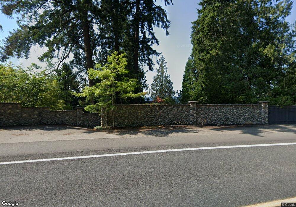
This home is located at 7231 E State Route 106, Union, WA 98592 and is currently estimated at $1,518,280, approximately $402 per square foot. 7231 E State Route 106 is a home with nearby schools including Hood Canal Elementary/Junior High School.
Ownership History
Date
Name
Owned For
Owner Type
Purchase Details
Closed on
Dec 14, 2023
Sold by
Twanoh Union Llc
Bought by
Twanoh Trust 1
Current Estimated Value
Purchase Details
Closed on
Dec 12, 2023
Sold by
Twanoh Union Llc
Bought by
Raikes Jeffery S and Raikes Patricia Mcginnis
Purchase Details
Closed on
Sep 7, 2022
Sold by
Power Larry A
Bought by
Twanoh Union Llc
Purchase Details
Closed on
Jan 11, 2012
Sold by
Wheat Melinda S and Wheat Patricick S
Bought by
Mcconkey Betty J
Create a Home Valuation Report for This Property
The Home Valuation Report is an in-depth analysis detailing your home's value as well as a comparison with similar homes in the area
Home Values in the Area
Average Home Value in this Area
Purchase History
| Date | Buyer | Sale Price | Title Company |
|---|---|---|---|
| Twanoh Trust 1 | -- | None Listed On Document | |
| Raikes Jeffery S | -- | None Listed On Document | |
| Twanoh Union Llc | $2,500,000 | Aegis Land Title Group | |
| Mcconkey Betty J | -- | None Available |
Source: Public Records
Tax History Compared to Growth
Tax History
| Year | Tax Paid | Tax Assessment Tax Assessment Total Assessment is a certain percentage of the fair market value that is determined by local assessors to be the total taxable value of land and additions on the property. | Land | Improvement |
|---|---|---|---|---|
| 2025 | $2,178 | $343,460 | $303,960 | $39,500 |
| 2023 | $2,178 | $1,121,055 | $546,095 | $574,960 |
| 2022 | $8,177 | $893,725 | $465,015 | $428,710 |
| 2021 | $8,881 | $893,725 | $465,015 | $428,710 |
| 2020 | $11,852 | $866,290 | $469,460 | $396,830 |
| 2018 | $9,599 | $913,040 | $517,980 | $395,060 |
| 2017 | $8,153 | $913,120 | $518,060 | $395,060 |
| 2016 | $8,123 | $813,170 | $469,640 | $343,530 |
| 2015 | $8,197 | $830,845 | $484,165 | $346,680 |
| 2014 | -- | $827,695 | $484,165 | $343,530 |
| 2013 | -- | $847,860 | $500,250 | $347,610 |
Source: Public Records
Map
Nearby Homes
- 0 E Mason Ave
- 61 E Mt Ellinor Ct
- 0 XXX E Dalby Rd
- 0 Sprague Ave Unit NWM2432045
- 0 Sprague Ave Unit NWM2432096
- 470 E Country Club Dr E
- 530 E Country Club Dr E
- 590 E Country Club Dr E
- 770 E Country Club Dr E
- 971 E Manzanita Dr
- 11 E Flaggwood Ln
- 471 E Jack Pine Ln
- 11 E Michelle Ct
- 91 E Jack Pine Ln
- 280 E Laurel Park
- 0 E Blackberry Ln
- 21 E Eastwood Ln
- 270 E Michelle Dr
- 50 E Blackberry Ln
- 11 E Susan Ln
- 7261 E State Route 106
- 7281 E State Route 106
- 7291 E State Route 106
- 7293 E State Route 106
- 7201 E State Route 106
- 7301 E State Route 106
- 7311 E State Route 106
- 10 E Alderbrook Dr Unit 6
- 10 E Alderbrook Dr Unit 22
- 10 E Alderbrook Dr Unit 21
- 10 E Alderbrook Dr Unit 20
- 10 E Alderbrook Dr Unit 19
- 10 E Alderbrook Dr Unit 18
- 10 E Alderbrook Dr Unit 17
- 10 E Alderbrook Dr Unit 16
- 10 E Alderbrook Dr Unit 15
- 10 E Alderbrook Dr Unit 14
- 10 E Alderbrook Dr Unit 12
- 10 E Alderbrook Dr Unit 11
- 10 E Alderbrook Dr Unit 10