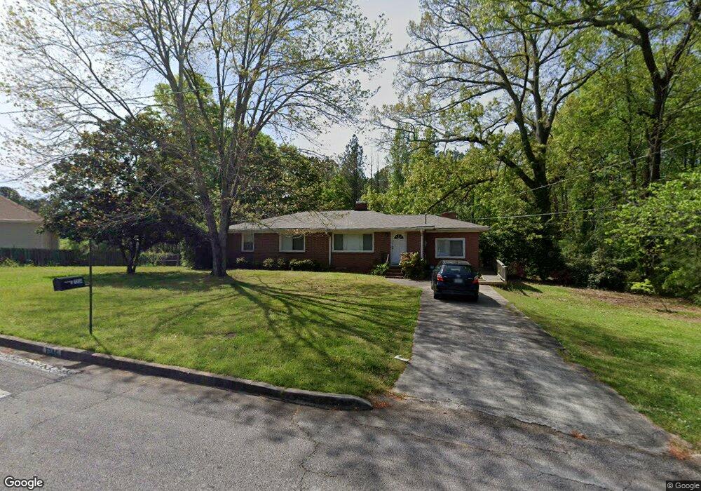
7234 Woodland Ave SE Covington, GA 30014
Estimated Value: $247,686 - $330,000
3
Beds
2
Baths
1,704
Sq Ft
$164/Sq Ft
Est. Value
About This Home
This home is located at 7234 Woodland Ave SE, Covington, GA 30014 and is currently estimated at $280,172, approximately $164 per square foot. 7234 Woodland Ave SE is a home located in Newton County with nearby schools including Middle Ridge Elementary School, Cousins Middle School, and Eastside High School.
Ownership History
Date
Name
Owned For
Owner Type
Purchase Details
Closed on
May 10, 2022
Sold by
Herring Dianne L Estate
Bought by
Garrett John S
Current Estimated Value
Purchase Details
Closed on
Sep 28, 2011
Sold by
Hunt Wesley Jones
Bought by
Herring Dianne L
Home Financials for this Owner
Home Financials are based on the most recent Mortgage that was taken out on this home.
Original Mortgage
$71,600
Interest Rate
4.26%
Mortgage Type
New Conventional
Create a Home Valuation Report for This Property
The Home Valuation Report is an in-depth analysis detailing your home's value as well as a comparison with similar homes in the area
Home Values in the Area
Average Home Value in this Area
Purchase History
| Date | Buyer | Sale Price | Title Company |
|---|---|---|---|
| Garrett John S | -- | -- | |
| Herring Dianne L | $89,500 | -- |
Source: Public Records
Mortgage History
| Date | Status | Borrower | Loan Amount |
|---|---|---|---|
| Previous Owner | Herring Dianne L | $71,600 |
Source: Public Records
Tax History Compared to Growth
Tax History
| Year | Tax Paid | Tax Assessment Tax Assessment Total Assessment is a certain percentage of the fair market value that is determined by local assessors to be the total taxable value of land and additions on the property. | Land | Improvement |
|---|---|---|---|---|
| 2024 | $1,051 | $71,600 | $15,200 | $56,400 |
| 2023 | $1,188 | $62,720 | $8,800 | $53,920 |
| 2022 | $1,052 | $56,600 | $8,800 | $47,800 |
| 2021 | $708 | $43,800 | $7,600 | $36,200 |
| 2020 | $587 | $39,320 | $7,600 | $31,720 |
| 2019 | $538 | $37,760 | $7,600 | $30,160 |
| 2018 | $524 | $37,160 | $7,600 | $29,560 |
| 2017 | $540 | $37,560 | $7,600 | $29,960 |
| 2016 | $425 | $34,760 | $4,800 | $29,960 |
| 2015 | $208 | $27,240 | $4,800 | $22,440 |
| 2014 | $197 | $25,600 | $0 | $0 |
Source: Public Records
Map
Nearby Homes
- 8239 High Lake Terrace SE
- 6111 Old Monticello St SE
- 8193 Monticello St
- 6176 Pinewood Dr SE
- 322 Pinewood Dr
- 0 Petty St Unit 10547316
- 0 Petty St Unit 7640177
- 7155 Petty St SW
- 6169 Pinewood Dr SE
- 10110 Malcolm Ct
- 6134 Linwood Dr SE
- 10155 Malcolm Dr
- 10183 N Links Dr
- 6129 Linwood Dr SE
- 8384 Fairway Dr
- 8370 Fairway Dr
- 5132 Forest Dr SE
- 10184 Malcolm Dr
- 7256 Woodland Ave SE
- 8106 Woodland Ave SE
- 7231 Woodland Ave SE
- 7241 Woodland Ave SE
- 7216 Woodland Ave SE
- 7249 Woodland Ave SE
- 8114 Woodland Ave SE
- 7217 Woodland Ave SE
- 8122 Woodland Ave SE
- 7257 Woodland Ave SE
- 0 Woodland Ave SE Unit 8690652
- 0 Woodland Ave SE Unit 7108180
- 0 Woodland Ave SE Unit 3115125
- 0 Woodland Ave SE Unit 7221863
- 0 Woodland Ave SE Unit 7424619
- 0 Woodland Ave SE Unit 8217331
- 7263 Woodland Ave SE
- 8115 Woodland Ave SE Unit 2B
- 7202 Woodland Ave SE
- 8107 Woodland Ave SE