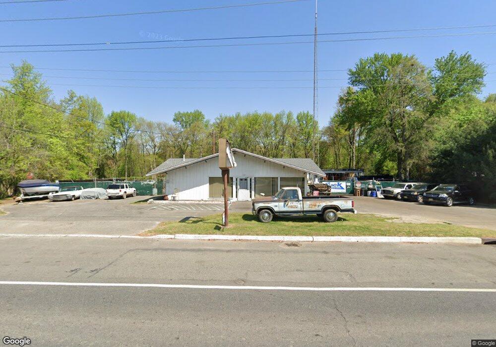
725 E Broad St Gibbstown, NJ 08027
Greenwich Township NeighborhoodEstimated Value: $311,770
--
Bed
--
Bath
--
Sq Ft
0.94
Acres
About This Home
This home is located at 725 E Broad St, Gibbstown, NJ 08027 and is currently estimated at $311,770. 725 E Broad St is a home located in Gloucester County with nearby schools including Nehaunsey Middle School and Guardian Angels Regional School.
Ownership History
Date
Name
Owned For
Owner Type
Purchase Details
Closed on
Sep 18, 2025
Sold by
341 Connecticut Llc
Bought by
King David Investment Llc
Current Estimated Value
Purchase Details
Closed on
Mar 27, 2023
Sold by
725 E Broad Llc
Bought by
341 Connecticut Llc
Purchase Details
Closed on
Jan 12, 2023
Sold by
Munyans Fuel Inc
Bought by
725 E Broad Llc
Create a Home Valuation Report for This Property
The Home Valuation Report is an in-depth analysis detailing your home's value as well as a comparison with similar homes in the area
Home Values in the Area
Average Home Value in this Area
Purchase History
| Date | Buyer | Sale Price | Title Company |
|---|---|---|---|
| King David Investment Llc | $190,000 | None Listed On Document | |
| 341 Connecticut Llc | $1,000 | Chicago Title | |
| 725 E Broad Llc | -- | -- | |
| 725 E Broad Llc | -- | None Listed On Document |
Source: Public Records
Tax History Compared to Growth
Tax History
| Year | Tax Paid | Tax Assessment Tax Assessment Total Assessment is a certain percentage of the fair market value that is determined by local assessors to be the total taxable value of land and additions on the property. | Land | Improvement |
|---|---|---|---|---|
| 2025 | $7,657 | $222,400 | $122,200 | $100,200 |
| 2024 | $7,255 | $222,400 | $122,200 | $100,200 |
| 2023 | $7,255 | $222,400 | $122,200 | $100,200 |
| 2022 | $7,259 | $222,400 | $122,200 | $100,200 |
| 2021 | $7,184 | $222,400 | $122,200 | $100,200 |
| 2020 | $7,284 | $222,400 | $122,200 | $100,200 |
| 2019 | $7,288 | $222,400 | $122,200 | $100,200 |
| 2018 | $7,081 | $222,400 | $122,200 | $100,200 |
| 2017 | $6,910 | $222,400 | $122,200 | $100,200 |
| 2016 | $6,834 | $222,400 | $122,200 | $100,200 |
| 2015 | $6,932 | $233,100 | $132,900 | $100,200 |
| 2014 | $6,634 | $233,100 | $132,900 | $100,200 |
Source: Public Records
Map
Nearby Homes
- 836 E Broad St
- 219 Vanneman Blvd
- 330 Croce Ave
- 344 W Washington St
- 335 W Buck St
- L18 20 W Broad St
- 255 Elizabeth Ave
- 269 W Broad St
- 1043 Penn Line Rd
- 227 W Buck St
- 1214 Walter Ave
- 1224 Heddon Ave
- 140 142 W Jefferson St
- 129 W Washington St
- 122 W Washington St
- 1534 Pine St
- 1519 Pine St
- 53-55 Roosevelt St
- 28 W Jefferson St
- 46 Roosevelt St
- 725 E Broad St
- 731 E Broad St
- 739 E Broad St
- 747 E Broad St
- 753 E Broad St
- 759 E Broad St
- 752 E Broad St
- 765 E Broad St
- 756 E Broad St
- 619 E Broad St
- 764 E Broad St
- 705 Lock Ave
- 760 E Broad St
- 771 E Broad St
- 615 E Broad St
- 703 Lock Ave
- 618 E Broad St
- 618 E Broad St Unit B
- 618 E Broad St Unit A
- 772 E Broad St