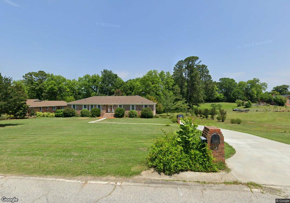
725 W Quincy Rd Seneca, SC 29678
Estimated Value: $321,000 - $434,858
4
Beds
4
Baths
2,489
Sq Ft
$160/Sq Ft
Est. Value
About This Home
This home is located at 725 W Quincy Rd, Seneca, SC 29678 and is currently estimated at $397,215, approximately $159 per square foot. 725 W Quincy Rd is a home located in Oconee County with nearby schools including Blue Ridge Elementary School, Seneca Middle School, and Seneca High School.
Ownership History
Date
Name
Owned For
Owner Type
Purchase Details
Closed on
Dec 7, 2018
Sold by
Lowery Jackson Edwina
Bought by
Lowery Jackson Edwina and Edwina Lowery Jackson Revocable Trust
Current Estimated Value
Purchase Details
Closed on
Oct 29, 2018
Sold by
Lowery Palmer Whitney Jackson and Lowery Jackson Howell Whitney
Bought by
Lowery Jackson Edwina
Purchase Details
Closed on
Jun 6, 2012
Sold by
Jackson James E and Jackson Edwina L
Bought by
Howell Whitney Lowery Jackson
Create a Home Valuation Report for This Property
The Home Valuation Report is an in-depth analysis detailing your home's value as well as a comparison with similar homes in the area
Home Values in the Area
Average Home Value in this Area
Purchase History
| Date | Buyer | Sale Price | Title Company |
|---|---|---|---|
| Lowery Jackson Edwina | -- | None Available | |
| Lowery Jackson Edwina | -- | None Available | |
| Howell Whitney Lowery Jackson | -- | -- |
Source: Public Records
Tax History Compared to Growth
Tax History
| Year | Tax Paid | Tax Assessment Tax Assessment Total Assessment is a certain percentage of the fair market value that is determined by local assessors to be the total taxable value of land and additions on the property. | Land | Improvement |
|---|---|---|---|---|
| 2024 | $1,286 | $9,492 | $710 | $8,782 |
| 2023 | $1,244 | $9,492 | $710 | $8,782 |
| 2022 | $1,244 | $9,492 | $710 | $8,782 |
| 2021 | $884 | $9,078 | $710 | $8,368 |
| 2020 | $715 | $8,604 | $654 | $7,950 |
| 2019 | $715 | $0 | $0 | $0 |
| 2018 | $1,883 | $0 | $0 | $0 |
| 2017 | $884 | $0 | $0 | $0 |
| 2016 | $884 | $0 | $0 | $0 |
| 2015 | -- | $0 | $0 | $0 |
| 2014 | -- | $7,482 | $671 | $6,812 |
| 2013 | -- | $0 | $0 | $0 |
Source: Public Records
Map
Nearby Homes
- 345 Code Cir
- 340 Code Cir
- 0 Scotland Rd
- 102 S Poplar St
- 615 S Pine St
- 00 Chantilly Cir
- 510 S Fairplay St
- 507 E Perkins Creek Rd
- 533 E Perkins Creek Rd
- 160 Poplar St
- 111 Madison Pointe Dr
- 313 S Townville St
- 206 W North 1st St
- 205 Daniel Ave
- 200 W North 1st St
- 405 Dalton Rd
- 215 Maple Grove Rd
- 505 Dalton Rd
- 233 Maple Grove Rd
- 110 Dalton Rd
- 723 W Quincy Rd
- 721 W Quincy Rd
- 506 Ploma Dr
- 601 Pinecrest Dr
- 504 Ploma Dr
- 722 W Quincy Rd
- 606 Pinecrest Dr
- 502 Ploma Dr
- 514 Ploma Dr
- 507 Ploma Dr
- 503 Ploma Dr
- 605 Pinecrest Dr
- 511 Ploma Dr
- 715 W Quincy Rd
- 608 Pinecrest Dr
- 501 Ploma Dr
- 412 Quincy Rd
- 504 Quincy Rd
- 515 Ploma Dr
- 515 Ploma Dr Unit Adams Subdivision