Estimated Value: $307,000 - $331,000
3
Beds
1
Bath
900
Sq Ft
$351/Sq Ft
Est. Value
About This Home
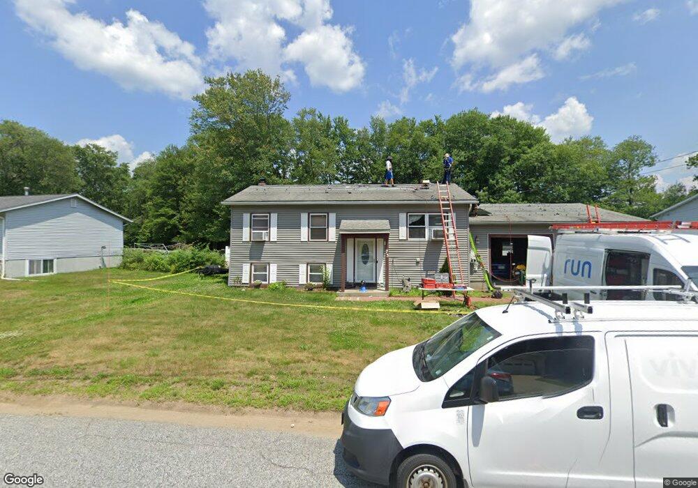
This home is located at 73 Butternut Dr, Keene, NH 03431 and is currently estimated at $316,186, approximately $351 per square foot. 73 Butternut Dr is a home with nearby schools including Greenlee Primary School, Keene Middle School, and Mayland Early College High School.
Ownership History
Date
Name
Owned For
Owner Type
Purchase Details
Closed on
Jun 30, 2004
Sold by
Blair Fiona
Bought by
Lawrence David J and Lawrence Brenda L
Current Estimated Value
Home Financials for this Owner
Home Financials are based on the most recent Mortgage that was taken out on this home.
Original Mortgage
$108,000
Interest Rate
6.3%
Mortgage Type
Purchase Money Mortgage
Purchase Details
Closed on
Jun 28, 1999
Sold by
Mitchell H Greenwood R
Bought by
Blair Fiona
Home Financials for this Owner
Home Financials are based on the most recent Mortgage that was taken out on this home.
Original Mortgage
$83,900
Interest Rate
7.09%
Purchase Details
Closed on
Dec 22, 1998
Sold by
Treat Richard G
Bought by
Greenwald R Mitchell H
Create a Home Valuation Report for This Property
The Home Valuation Report is an in-depth analysis detailing your home's value as well as a comparison with similar homes in the area
Home Values in the Area
Average Home Value in this Area
Purchase History
| Date | Buyer | Sale Price | Title Company |
|---|---|---|---|
| Lawrence David J | $135,000 | -- | |
| Blair Fiona | $84,000 | -- | |
| Greenwald R Mitchell H | $38,000 | -- |
Source: Public Records
Mortgage History
| Date | Status | Borrower | Loan Amount |
|---|---|---|---|
| Open | Greenwald R Mitchell H | $109,000 | |
| Closed | Greenwald R Mitchell H | $108,000 | |
| Previous Owner | Greenwald R Mitchell H | $83,900 |
Source: Public Records
Tax History Compared to Growth
Tax History
| Year | Tax Paid | Tax Assessment Tax Assessment Total Assessment is a certain percentage of the fair market value that is determined by local assessors to be the total taxable value of land and additions on the property. | Land | Improvement |
|---|---|---|---|---|
| 2024 | $6,330 | $191,400 | $47,200 | $144,200 |
| 2023 | $5,488 | $172,100 | $47,200 | $124,900 |
| 2022 | $5,340 | $172,100 | $47,200 | $124,900 |
| 2021 | $5,383 | $172,100 | $47,200 | $124,900 |
| 2020 | $5,760 | $154,500 | $55,300 | $99,200 |
| 2019 | $5,809 | $154,500 | $55,300 | $99,200 |
| 2018 | $5,735 | $154,500 | $55,300 | $99,200 |
| 2017 | $5,754 | $154,600 | $55,400 | $99,200 |
| 2016 | $5,626 | $154,600 | $55,400 | $99,200 |
| 2015 | $5,506 | $160,000 | $62,600 | $97,400 |
Source: Public Records
Map
Nearby Homes
- 115 Liberty Ln
- 184 Kennedy Dr
- 64 Old Walpole Rd
- 106 Pako Ave
- 224 Darling Rd
- 183 Wyman Rd
- 798 Court St Unit G
- 11 Nut Hatch Ln
- 792 Court St Unit A
- 17 Blue Jay Ct
- 31 Darling Ct
- 0 Rd Unit 5039440
- 28 Stonehouse Ln
- 38 Stonehouse Ln Unit A
- 39 Windsor Ct Unit B
- Lot 27-1 Old Walpole Rd
- 257 Park Ave
- Rt Highway 12
- 110 Arch St Unit 27
- 110 Arch St Unit 42
- 69 Butternut Dr
- 77 Butternut Dr
- 72 Butternut Dr
- 76 Butternut Dr
- 65 Butternut Dr
- 81 Butternut Dr
- 80 Butternut Dr
- 127 Butternut Dr
- 68 Butternut Dr
- 123 Butternut Dr
- 84 Butternut Dr
- 131 Butternut Dr
- 64 Butternut Dr
- 91 Butternut Dr
- 185 Liberty Ln
- 119 Butternut Dr
- 181 Liberty Ln
- 88 Butternut Dr
- 97 Butternut Dr
- 115 Butternut Dr