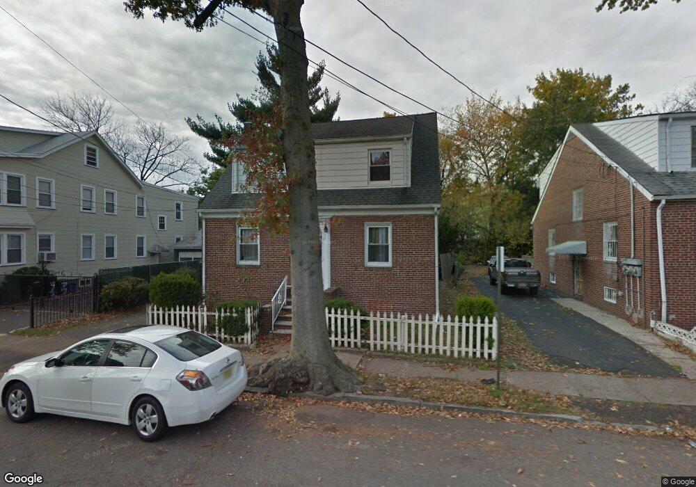
73 Lenox Ave Irvington, NJ 07111
Estimated Value: $374,000 - $525,000
--
Bed
--
Bath
1,265
Sq Ft
$341/Sq Ft
Est. Value
About This Home
This home is located at 73 Lenox Ave, Irvington, NJ 07111 and is currently estimated at $431,003, approximately $340 per square foot. 73 Lenox Ave is a home located in Essex County with nearby schools including Irvington High School, Burch Charter School of Excellence, and St. John the Baptist Ukraini.
Ownership History
Date
Name
Owned For
Owner Type
Purchase Details
Closed on
Jul 23, 2001
Sold by
Smith Pamela
Bought by
Gordon Edwin and Martin Pearletta
Current Estimated Value
Home Financials for this Owner
Home Financials are based on the most recent Mortgage that was taken out on this home.
Original Mortgage
$146,667
Interest Rate
6.98%
Mortgage Type
FHA
Purchase Details
Closed on
Apr 13, 1989
Sold by
Peart Lorna Clear
Bought by
Smith Pamela
Create a Home Valuation Report for This Property
The Home Valuation Report is an in-depth analysis detailing your home's value as well as a comparison with similar homes in the area
Home Values in the Area
Average Home Value in this Area
Purchase History
| Date | Buyer | Sale Price | Title Company |
|---|---|---|---|
| Gordon Edwin | $149,000 | -- | |
| Smith Pamela | $152,500 | -- |
Source: Public Records
Mortgage History
| Date | Status | Borrower | Loan Amount |
|---|---|---|---|
| Previous Owner | Gordon Edwin | $146,667 |
Source: Public Records
Tax History Compared to Growth
Tax History
| Year | Tax Paid | Tax Assessment Tax Assessment Total Assessment is a certain percentage of the fair market value that is determined by local assessors to be the total taxable value of land and additions on the property. | Land | Improvement |
|---|---|---|---|---|
| 2025 | $7,130 | $343,500 | $121,500 | $222,000 |
| 2024 | $7,130 | $117,400 | $16,100 | $101,300 |
| 2022 | $6,998 | $117,400 | $16,100 | $101,300 |
| 2021 | $7,019 | $117,400 | $16,100 | $101,300 |
| 2020 | $7,016 | $117,400 | $16,100 | $101,300 |
| 2019 | $6,826 | $117,400 | $16,100 | $101,300 |
| 2018 | $6,693 | $117,400 | $16,100 | $101,300 |
| 2017 | $6,662 | $117,400 | $16,100 | $101,300 |
| 2016 | $6,518 | $117,400 | $16,100 | $101,300 |
| 2015 | $6,367 | $117,400 | $16,100 | $101,300 |
| 2014 | $6,405 | $117,400 | $16,100 | $101,300 |
Source: Public Records
Map
Nearby Homes
- 48 Adams St
- 35 Bamford Place
- 239 Orange Ave
- 228 Madison Ave
- 215-217 Orange Ave
- 217 Orange Ave
- 50 Unity Ave
- 82 W Rich St
- 39-41 Rich St
- 43 Rich St
- 142 Delmar Place
- 151 Madison Ave
- 27-29 Cleveland Ave
- 27 Cleveland Ave Unit 29
- 78 Valley St
- 220 Brookdale Ave
- 240 W End Ave
- 219-221 Stuyvesant Ave
- 334 Isabella Ave
- 83-85 Valley St
- 71 Lenox Ave
- 71 Lenox Ave Unit 2
- 77 Lenox Ave
- 22 Crescent Ct Unit 2
- 65 Lenox Ave
- 81 Lenox Ave Unit 83
- 54 Adams St Unit 58
- 24 Crescent Ct
- 24 Crescent Ct
- 26-28 Crescent Ct
- 85 Lenox Ave
- 20 Crescent Ct
- 61 Lenox Ave
- 52 Adams St
- 26 Crescent Ct Unit 28
- 59 Adams St
- 64 Lenox Ave
- 24 Colleen St
- 24 Colleen St
- 57 Adams St