73 S Airport Rd Cottonwood, AZ 86326
Cottonwood NeighborhoodEstimated Value: $452,420 - $580,000
--
Bed
--
Bath
1,760
Sq Ft
$292/Sq Ft
Est. Value
About This Home
This home is located at 73 S Airport Rd, Cottonwood, AZ 86326 and is currently estimated at $513,605, approximately $291 per square foot. 73 S Airport Rd is a home located in Yavapai County with nearby schools including Cottonwood Elementary School, Dr Daniel Bright Elementary School, and Cottonwood Community School.
Ownership History
Date
Name
Owned For
Owner Type
Purchase Details
Closed on
Dec 11, 2017
Sold by
Geisbusch Ian Scott and Geisbusch Candace Eve
Bought by
Dowell Christopher M and Dowell Dana L
Current Estimated Value
Home Financials for this Owner
Home Financials are based on the most recent Mortgage that was taken out on this home.
Original Mortgage
$359,000
Outstanding Balance
$302,247
Interest Rate
3.94%
Mortgage Type
VA
Estimated Equity
$211,358
Purchase Details
Closed on
Jan 18, 2011
Sold by
Geisbusch Candace Eve and Connolly Candace Eve
Bought by
Geisbusch Ian Scott and Geisbusch Candace Eve
Purchase Details
Closed on
Aug 5, 2005
Sold by
Hunter Dale and Hunter Wanda
Bought by
Connolly Candace Eve
Create a Home Valuation Report for This Property
The Home Valuation Report is an in-depth analysis detailing your home's value as well as a comparison with similar homes in the area
Home Values in the Area
Average Home Value in this Area
Purchase History
| Date | Buyer | Sale Price | Title Company |
|---|---|---|---|
| Dowell Christopher M | $399,000 | Yavapai Title | |
| Geisbusch Ian Scott | -- | Accommodation | |
| Connolly Candace Eve | -- | -- |
Source: Public Records
Mortgage History
| Date | Status | Borrower | Loan Amount |
|---|---|---|---|
| Open | Dowell Christopher M | $359,000 |
Source: Public Records
Tax History Compared to Growth
Tax History
| Year | Tax Paid | Tax Assessment Tax Assessment Total Assessment is a certain percentage of the fair market value that is determined by local assessors to be the total taxable value of land and additions on the property. | Land | Improvement |
|---|---|---|---|---|
| 2026 | $1,395 | $39,825 | -- | -- |
| 2024 | $1,367 | $39,401 | -- | -- |
| 2023 | $1,367 | $30,803 | $5,085 | $25,718 |
| 2022 | $1,364 | $26,761 | $4,094 | $22,667 |
| 2021 | $1,482 | $24,751 | $4,134 | $20,617 |
| 2020 | $1,472 | $0 | $0 | $0 |
| 2019 | $1,463 | $0 | $0 | $0 |
| 2018 | $1,406 | $0 | $0 | $0 |
| 2017 | $1,347 | $0 | $0 | $0 |
| 2016 | $1,324 | $0 | $0 | $0 |
| 2015 | $1,325 | $0 | $0 | $0 |
| 2014 | $1,175 | $0 | $0 | $0 |
Source: Public Records
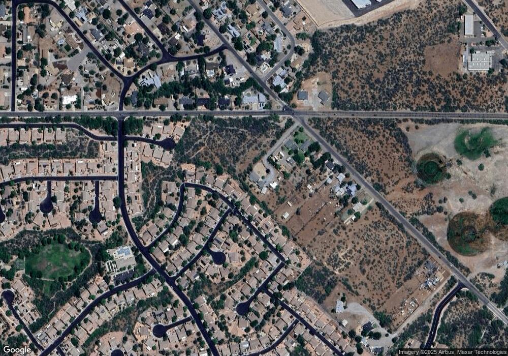
Map
Nearby Homes
- 1830 W Trail Blazer Dr
- 1660 W Bronco Ln
- 240 S Maverick Way
- 1869 W Trail Blazer Dr
- 1910 W Trail Blazer Dr
- 293 S Wild Horse Way
- 1850 W Wagon Wheel Rd
- 1865 W Wagon Wheel Rd
- 338 S Wild Horse Way
- 265 S Latigo Way
- 235 S Cowboy Way
- 15 N Alamos Dr Unit A & B
- Xxxx Xxxx --
- 240 Rogers Place
- 2101 Canyon Dr
- 222 Rogers Place
- 1941 Crossroads Blvd
- 1975 Golddust Cir
- 1985 Roadrunner Ct
- 421 Casner Dr