73 Shore Rd Harpswell, ME 04079
Harpswell NeighborhoodEstimated Value: $798,000 - $880,000
2
Beds
2
Baths
1,806
Sq Ft
$458/Sq Ft
Est. Value
About This Home
This home is located at 73 Shore Rd, Harpswell, ME 04079 and is currently estimated at $827,649, approximately $458 per square foot. 73 Shore Rd is a home with nearby schools including Mt Ararat High School.
Ownership History
Date
Name
Owned For
Owner Type
Purchase Details
Closed on
Dec 2, 2009
Sold by
Williams Raymond W and Williams Jean R
Bought by
Eline John C and Eline Mindy K
Current Estimated Value
Home Financials for this Owner
Home Financials are based on the most recent Mortgage that was taken out on this home.
Original Mortgage
$360,000
Interest Rate
5.01%
Mortgage Type
Purchase Money Mortgage
Create a Home Valuation Report for This Property
The Home Valuation Report is an in-depth analysis detailing your home's value as well as a comparison with similar homes in the area
Home Values in the Area
Average Home Value in this Area
Purchase History
| Date | Buyer | Sale Price | Title Company |
|---|---|---|---|
| Eline John C | -- | -- |
Source: Public Records
Mortgage History
| Date | Status | Borrower | Loan Amount |
|---|---|---|---|
| Open | Eline John C | $360,000 | |
| Closed | Eline John C | $20,000 | |
| Closed | Eline John C | $360,000 | |
| Previous Owner | Eline John C | $310,000 |
Source: Public Records
Tax History Compared to Growth
Tax History
| Year | Tax Paid | Tax Assessment Tax Assessment Total Assessment is a certain percentage of the fair market value that is determined by local assessors to be the total taxable value of land and additions on the property. | Land | Improvement |
|---|---|---|---|---|
| 2024 | $3,236 | $508,800 | $368,400 | $140,400 |
| 2023 | $3,104 | $508,800 | $368,400 | $140,400 |
| 2022 | $3,002 | $508,800 | $368,400 | $140,400 |
| 2021 | $2,847 | $421,200 | $277,300 | $143,900 |
| 2020 | $2,839 | $421,200 | $277,300 | $143,900 |
| 2019 | $2,833 | $421,800 | $277,300 | $144,500 |
| 2018 | $2,733 | $421,800 | $277,300 | $144,500 |
| 2017 | $2,725 | $421,800 | $277,300 | $144,500 |
| 2016 | $2,700 | $421,800 | $277,300 | $144,500 |
| 2015 | $2,632 | $421,800 | $277,300 | $144,500 |
| 2013 | $2,438 | $421,800 | $277,300 | $144,500 |
Source: Public Records
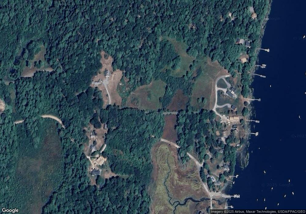
Map
Nearby Homes
- 93 Abbot Cove Rd
- 37 & 38 S Dyers Cove Rd
- 242 Long Reach Ln
- 136 Bethel Point Rd
- 11 Orion Point Way
- 29 & 30 Nob Hill Ave
- 646 Gurnet Rd
- 10 Birch Point Rd
- 51 & 53 Rock Haven Dr
- 46 Dam Cove Rd
- 943 Cundys Harbor Rd
- 25 Echo Ln
- 270 Harpswell Neck Rd
- 88 Campbell Pond Rd
- 260 Coombs Rd
- 140 Clifford Rd
- lot C Long Point Rd
- 205 W Cundys Point
- 550 Main Rd
- 15 Church Ln
- 73 W Shore Rd
- 79 Shore Rd
- 67 Shore Rd
- 63 W Shore Dr
- 61 Shore Rd
- 87 Shore Rd
- 57 Shore Rd
- 69 Shore Rd
- 51 Shore Rd
- 95 W Shore Rd
- 59 Wallace Shore Rd
- 17 Wallace Shore Extension
- 22 Wallace Shore Extension
- 97 Shore Rd
- 120 Shore Rd
- 62 Wallace Shore Rd
- 112 Shore Rd
- 20 Wallace Shore Extension
- 22 Wallace Shore Rd Ext Rd
- 12 Wallace Shore Extension