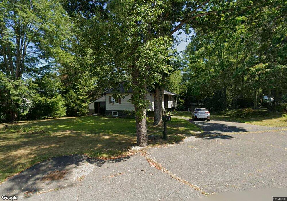
73 Stone Valley Rd Orange, MA 01364
Estimated Value: $303,000 - $422,000
3
Beds
2
Baths
1,156
Sq Ft
$314/Sq Ft
Est. Value
About This Home
This home is located at 73 Stone Valley Rd, Orange, MA 01364 and is currently estimated at $363,019, approximately $314 per square foot. 73 Stone Valley Rd is a home located in Franklin County with nearby schools including Fisher Hill and Ralph C Mahar Regional School.
Ownership History
Date
Name
Owned For
Owner Type
Purchase Details
Closed on
May 9, 2013
Sold by
Gonynor Randy M
Bought by
Bowers Jamie L
Current Estimated Value
Home Financials for this Owner
Home Financials are based on the most recent Mortgage that was taken out on this home.
Original Mortgage
$124,500
Outstanding Balance
$88,696
Interest Rate
3.6%
Mortgage Type
New Conventional
Estimated Equity
$274,323
Purchase Details
Closed on
May 27, 1999
Sold by
Flannery James M and Flannery Linda M
Bought by
Gonynor Randy M and Bowers Jamie L
Create a Home Valuation Report for This Property
The Home Valuation Report is an in-depth analysis detailing your home's value as well as a comparison with similar homes in the area
Home Values in the Area
Average Home Value in this Area
Purchase History
| Date | Buyer | Sale Price | Title Company |
|---|---|---|---|
| Bowers Jamie L | $3,000 | -- | |
| Gonynor Randy M | $90,500 | -- |
Source: Public Records
Mortgage History
| Date | Status | Borrower | Loan Amount |
|---|---|---|---|
| Open | Gonynor Randy M | $124,500 | |
| Previous Owner | Gonynor Randy M | $126,000 | |
| Previous Owner | Gonynor Randy M | $90,500 |
Source: Public Records
Tax History Compared to Growth
Tax History
| Year | Tax Paid | Tax Assessment Tax Assessment Total Assessment is a certain percentage of the fair market value that is determined by local assessors to be the total taxable value of land and additions on the property. | Land | Improvement |
|---|---|---|---|---|
| 2025 | $52 | $318,500 | $31,600 | $286,900 |
| 2024 | $4,925 | $282,400 | $31,600 | $250,800 |
| 2023 | $4,621 | $257,300 | $31,600 | $225,700 |
| 2022 | $4,390 | $229,600 | $31,600 | $198,000 |
| 2021 | $3,657 | $182,400 | $53,700 | $128,700 |
| 2020 | $3,672 | $180,600 | $53,300 | $127,300 |
| 2019 | $3,587 | $159,300 | $47,800 | $111,500 |
| 2018 | $3,383 | $154,200 | $47,000 | $107,200 |
| 2017 | $3,274 | $154,200 | $47,000 | $107,200 |
| 2016 | $3,298 | $152,000 | $47,000 | $105,000 |
| 2015 | $3,172 | $152,700 | $47,000 | $105,700 |
| 2014 | $3,087 | $156,400 | $47,000 | $109,400 |
Source: Public Records
Map
Nearby Homes
- 222 W River St
- 27 Chase St
- 248 Holtshire Rd Unit Lot 2
- 166-168 W Main St
- 121 Pleasant St
- 89 W Main St
- 35 W River St
- 270 Holtshire Rd
- 43 W Main St
- 114 S Main St
- 257 S Main St
- 295 S Main St
- 12-14 E Main St
- 36 Summit St Unit A
- 36 Summit St Unit B
- 50 E Main St
- 490 S Main St
- 52 Mechanic St
- 102 Mechanic St
- 140 Mechanic St
- 65 Stone Valley Rd
- 79 Stone Valley Rd
- 57 Stone Valley Rd
- 85 Stone Valley Rd
- 68 Stone Valley Rd
- 60 Stone Valley Rd
- 49 Stone Valley Rd
- 187 Holtshire Rd
- 40 Stone Valley Rd
- 38 Stone Valley Rd
- 183 Holtshire Rd
- 58 Stone Valley Rd
- 50 Stone Valley Rd
- 185 Holtshire Rd
- 44 Stone Valley Rd
- 41 Stone Valley Rd E
- 41 Stone Valley Rd
- 179 Holtshire Rd
- 186 Holtshire Rd
- 189 Holtshire Rd