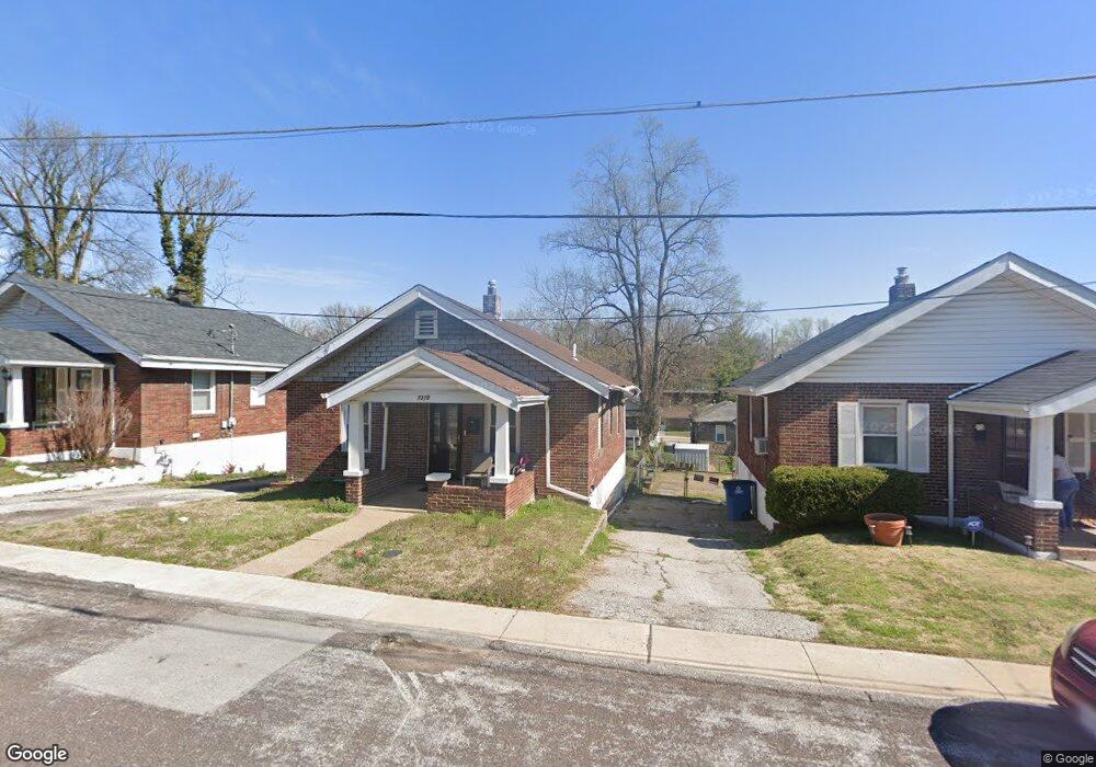
7319 Grand Dr Saint Louis, MO 63133
Estimated Value: $51,466 - $88,000
1
Bed
1
Bath
754
Sq Ft
$96/Sq Ft
Est. Value
About This Home
This home is located at 7319 Grand Dr, Saint Louis, MO 63133 and is currently estimated at $72,367, approximately $95 per square foot. 7319 Grand Dr is a home located in St. Louis County with nearby schools including Normandy High School, The Leadership School, and Incarnate Word Academy.
Ownership History
Date
Name
Owned For
Owner Type
Purchase Details
Closed on
Jun 1, 2012
Sold by
Piece Minnie and Edwards Countess
Bought by
Brooks Jacqueline
Current Estimated Value
Purchase Details
Closed on
Oct 2, 2009
Sold by
Smith Minnie and Piece Minnie
Bought by
Edwards Countess and Piece Minnie
Purchase Details
Closed on
Aug 14, 2001
Sold by
Robinson Eugene
Bought by
Pieceid Minnie
Purchase Details
Closed on
Feb 16, 2001
Sold by
Piece Minnie O
Bought by
Robinson Engra
Purchase Details
Closed on
Dec 2, 1999
Sold by
Millett Marvin Leroy
Bought by
Piece Minnie O
Create a Home Valuation Report for This Property
The Home Valuation Report is an in-depth analysis detailing your home's value as well as a comparison with similar homes in the area
Home Values in the Area
Average Home Value in this Area
Purchase History
| Date | Buyer | Sale Price | Title Company |
|---|---|---|---|
| Brooks Jacqueline | $5,000 | None Available | |
| Edwards Countess | -- | None Available | |
| Pieceid Minnie | -- | -- | |
| Robinson Engra | -- | -- | |
| Piece Minnie O | -- | -- |
Source: Public Records
Tax History Compared to Growth
Tax History
| Year | Tax Paid | Tax Assessment Tax Assessment Total Assessment is a certain percentage of the fair market value that is determined by local assessors to be the total taxable value of land and additions on the property. | Land | Improvement |
|---|---|---|---|---|
| 2025 | $807 | $12,430 | $2,090 | $10,340 |
| 2024 | $807 | $8,590 | $340 | $8,250 |
| 2023 | $843 | $8,590 | $340 | $8,250 |
| 2022 | $598 | $5,100 | $1,050 | $4,050 |
| 2021 | $574 | $5,100 | $1,050 | $4,050 |
| 2020 | $571 | $4,670 | $700 | $3,970 |
| 2019 | $562 | $4,670 | $700 | $3,970 |
| 2018 | $652 | $5,110 | $700 | $4,410 |
| 2017 | $655 | $5,110 | $700 | $4,410 |
| 2016 | $675 | $5,080 | $1,050 | $4,030 |
| 2015 | $656 | $5,080 | $1,050 | $4,030 |
| 2014 | $929 | $7,320 | $1,050 | $6,270 |
Source: Public Records
Map
Nearby Homes
- 7337 Doncaster Dr
- 7348 Grand Dr
- 1541 Salerno Dr
- 1487 Engelholm Ave
- 1468 70th St
- 7231 Teal Ave
- 7422 Leadale Dr
- 7525 Cory Place
- 6753 Robbins Ave
- 1901 Owen Dr
- 6996 Robbins Ave
- 6733 Wynhill Dr
- 1944 Falcon Dr
- 52 Greendale Dr
- 1341 Kingsland Ave
- 7032 Canton Ave
- 1209 Griefield Place
- 1529 Nixon Ave
- 6918 Normandale Dr
- 1602 Glenchort Dr