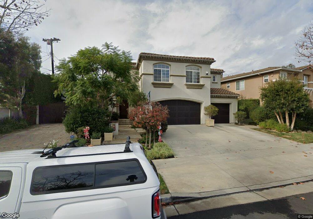
7343 Dunbarton Ave Los Angeles, CA 90045
Westchester NeighborhoodEstimated Value: $2,907,000 - $3,274,000
4
Beds
5
Baths
3,459
Sq Ft
$907/Sq Ft
Est. Value
About This Home
This home is located at 7343 Dunbarton Ave, Los Angeles, CA 90045 and is currently estimated at $3,136,704, approximately $906 per square foot. 7343 Dunbarton Ave is a home located in Los Angeles County with nearby schools including Cowan Avenue Elementary School, Wright Middle School STEAM Magnet, and Westchester Enriched Sciences Magnets.
Ownership History
Date
Name
Owned For
Owner Type
Purchase Details
Closed on
Sep 19, 2011
Sold by
Hench Philip G and Hench Cynthia A
Bought by
Hench Cynthia A and Hench Philip G
Current Estimated Value
Home Financials for this Owner
Home Financials are based on the most recent Mortgage that was taken out on this home.
Original Mortgage
$291,000
Interest Rate
4.09%
Mortgage Type
New Conventional
Purchase Details
Closed on
Jan 13, 2011
Sold by
Hench Cynthia A and Hench Philip G
Bought by
Hench Cynthia A and Hench Philip G
Purchase Details
Closed on
Mar 24, 1997
Sold by
Catellus Residential Westchester Llc
Bought by
Hench Phillip G
Home Financials for this Owner
Home Financials are based on the most recent Mortgage that was taken out on this home.
Original Mortgage
$533,450
Interest Rate
7.37%
Create a Home Valuation Report for This Property
The Home Valuation Report is an in-depth analysis detailing your home's value as well as a comparison with similar homes in the area
Home Values in the Area
Average Home Value in this Area
Purchase History
| Date | Buyer | Sale Price | Title Company |
|---|---|---|---|
| Hench Cynthia A | -- | Progressive Title | |
| Hench Philip G | -- | Progressive Title | |
| Hench Cynthia A | -- | None Available | |
| Hench Cynthia A | -- | None Available | |
| Hench Phillip G | $667,000 | First American Title Co |
Source: Public Records
Mortgage History
| Date | Status | Borrower | Loan Amount |
|---|---|---|---|
| Closed | Hench Philip G | $291,000 | |
| Closed | Hench Phillip G | $533,450 |
Source: Public Records
Tax History Compared to Growth
Tax History
| Year | Tax Paid | Tax Assessment Tax Assessment Total Assessment is a certain percentage of the fair market value that is determined by local assessors to be the total taxable value of land and additions on the property. | Land | Improvement |
|---|---|---|---|---|
| 2025 | $13,262 | $1,083,066 | $374,588 | $708,478 |
| 2024 | $13,262 | $1,061,831 | $367,244 | $694,587 |
| 2023 | $13,008 | $1,041,012 | $360,044 | $680,968 |
| 2022 | $12,408 | $1,020,601 | $352,985 | $667,616 |
| 2021 | $12,237 | $1,000,590 | $346,064 | $654,526 |
| 2019 | $11,870 | $970,913 | $335,800 | $635,113 |
| 2018 | $11,775 | $951,876 | $329,216 | $622,660 |
| 2016 | $11,239 | $914,915 | $316,433 | $598,482 |
| 2015 | $11,075 | $901,173 | $311,680 | $589,493 |
| 2014 | $11,120 | $883,521 | $305,575 | $577,946 |
Source: Public Records
Map
Nearby Homes
- 7456 Denrock Ave
- 7501 Agnew Ave
- 7403 Stewart Ave
- 12655 Bluff Creek Dr Unit 129
- 5904 Village Dr
- 7713 Anise Ave
- 7833 Denrock Ave
- 7809 Mcconnell Ave
- 7831 Beland Ave
- 7733 Henefer Ave
- 7920 Anise Ave Unit 1
- 7825 Cowan Ave
- 6427 Hedding St
- 8000 Westlawn Ave
- 7449 Kentwood Ave
- 8015 Dunbarton Ave
- 7404 Kentwood Ave
- 6534 Kentwood Bluffs Dr
- 6021 Dawn Creek Unit 12
- 12923 Bluff Creek Dr
- 7333 Dunbarton Ave
- 7273 Dunbarton Ave
- 7424 Denrock Ave
- 7418 Denrock Ave
- 7406 Denrock Ave
- 7323 Dunbarton Ave
- 6820 Andover Ln
- 7330 Westlawn Ave
- 7320 Westlawn Ave
- 7430 Denrock Ave
- 6829 Andover Ln
- 7314 Westlawn Ave
- 6800 Andover Ln
- 7436 Denrock Ave
- 6801 Andover Ln
- 7412 Westlawn Ave
- 7401 Dunbarton Ave
- 7308 Westlawn Ave
- 7307 Dunbarton Ave
- 7442 Denrock Ave