Estimated Value: $429,000
4
Beds
3
Baths
2,479
Sq Ft
$173/Sq Ft
Est. Value
About This Home
This home is located at 736 Duncan Bridge Rd, Alto, GA 30510 and is currently priced at $429,000, approximately $173 per square foot. 736 Duncan Bridge Rd is a home located in Habersham County with nearby schools including Baldwin Elementary School, South Habersham Middle School, and Habersham Success Academy.
Ownership History
Date
Name
Owned For
Owner Type
Purchase Details
Closed on
May 18, 2023
Sold by
Sc Management Holdings Llc
Bought by
Steelcell Re Holdings Llc
Current Estimated Value
Purchase Details
Closed on
Feb 17, 2023
Sold by
Habersham County Development Authority
Bought by
Sc Management Holdings Llc
Purchase Details
Closed on
Sep 16, 2016
Sold by
Robert C
Bought by
Habersham County Development A
Create a Home Valuation Report for This Property
The Home Valuation Report is an in-depth analysis detailing your home's value as well as a comparison with similar homes in the area
Home Values in the Area
Average Home Value in this Area
Purchase History
| Date | Buyer | Sale Price | Title Company |
|---|---|---|---|
| Steelcell Re Holdings Llc | $258,100 | -- | |
| Sc Management Holdings Llc | $244,020 | -- | |
| Habersham County Development A | $880,000 | -- | |
| Habersham County Development A | -- | -- |
Source: Public Records
Tax History Compared to Growth
Tax History
| Year | Tax Paid | Tax Assessment Tax Assessment Total Assessment is a certain percentage of the fair market value that is determined by local assessors to be the total taxable value of land and additions on the property. | Land | Improvement |
|---|---|---|---|---|
| 2025 | -- | $170,190 | $170,190 | $0 |
| 2024 | $7,307 | $281,520 | $281,520 | $0 |
| 2023 | $5,621 | $216,552 | $216,552 | $0 |
| 2022 | $5,621 | $216,552 | $216,552 | $0 |
| 2021 | $5,830 | $216,552 | $216,552 | $0 |
| 2020 | $2,337 | $86,788 | $86,620 | $168 |
| 2019 | $2,337 | $86,788 | $86,620 | $168 |
| 2018 | $2,318 | $86,788 | $86,620 | $168 |
| 2017 | $0 | $147,132 | $86,620 | $60,512 |
| 2016 | $773 | $182,290 | $86,620 | $60,512 |
| 2015 | $744 | $183,300 | $93,100 | $60,512 |
| 2014 | $744 | $180,930 | $93,100 | $59,928 |
| 2013 | -- | $162,340 | $102,412 | $59,928 |
Source: Public Records
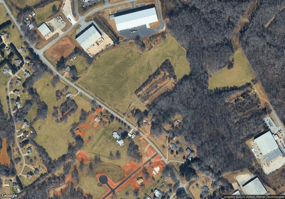
Map
Nearby Homes
- 179 Sunset Oaks Dr
- 190 Sunset Oaks Dr
- 1246 Duncan Bridge Rd
- 313 Kimsey St
- LOT 6 Parker Point
- 290 Magnolia Villas Dr
- 150 Magnolia Villas Dr
- Plan 2628 at Magnolia Villas
- Plan 1709 at Magnolia Villas
- Plan 1522 at Magnolia Villas
- Plan 2030 at Magnolia Villas
- Plan 1727 at Magnolia Villas
- Plan 1634 at Magnolia Villas
- Plan 2709 at Magnolia Villas
- Plan 1643 at Magnolia Villas
- Plan 3105 at Magnolia Villas
- Plan 2121 at Magnolia Villas
- Plan 3030 at Magnolia Villas
- Plan 2131 at Magnolia Villas
- Plan 2408 at Magnolia Villas
- 540 Duncan Bridge Rd
- 594 Duncan Bridge Rd
- 544 Duncan Bridge Rd
- 623 Duncan Bridge Rd
- 532 Duncan Bridge Rd
- 689 Duncan Bridge Rd
- 553 Duncan Bridge Rd
- 645 Duncan Bridge Rd
- 522 Duncan Bridge Rd
- 197 Westbrook Dr
- 761 Duncan Bridge Rd
- 637 Kitchens Rd
- 770 Duncan Bridge Rd
- 204 Westbrook Dr
- 0 Westbrook Dr Unit 7626373
- 0 Duncan Bridge Rd Unit 8812829
- 3420A Duncan Bridge Rd
- 2117 Duncan Bridge Rd
- 375 Duncan Bridge Rd
- 524 Industrial Park Rd