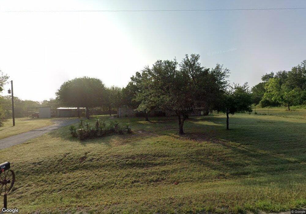
7364 Comer Ln Weatherford, TX 76085
Estimated Value: $480,700 - $660,000
--
Bed
--
Bath
1,780
Sq Ft
$317/Sq Ft
Est. Value
About This Home
This home is located at 7364 Comer Ln, Weatherford, TX 76085 and is currently estimated at $563,425, approximately $316 per square foot. 7364 Comer Ln is a home located in Parker County with nearby schools including Silver Creek Elementary School, Azle Elementary School, and Azle Junior High School.
Ownership History
Date
Name
Owned For
Owner Type
Purchase Details
Closed on
Sep 26, 2019
Sold by
Ritchmond Billy George and Ritchmond Carolyn
Bought by
Ray Cassandra J and Ritchmond Billy Don
Current Estimated Value
Purchase Details
Closed on
Jun 2, 1994
Sold by
Veterans Land Board
Bought by
Ritchmond Billy G
Purchase Details
Closed on
Jan 1, 1901
Sold by
Veterans Land Board
Bought by
Ritchmond Billy G
Create a Home Valuation Report for This Property
The Home Valuation Report is an in-depth analysis detailing your home's value as well as a comparison with similar homes in the area
Home Values in the Area
Average Home Value in this Area
Purchase History
| Date | Buyer | Sale Price | Title Company |
|---|---|---|---|
| Ray Cassandra J | -- | None Available | |
| Ritchmond Billy George | -- | None Available | |
| Ritchmond Billy G | -- | -- | |
| Ritchmond Billy G | -- | -- |
Source: Public Records
Tax History Compared to Growth
Tax History
| Year | Tax Paid | Tax Assessment Tax Assessment Total Assessment is a certain percentage of the fair market value that is determined by local assessors to be the total taxable value of land and additions on the property. | Land | Improvement |
|---|---|---|---|---|
| 2025 | $1,589 | $354,627 | -- | -- |
| 2024 | $1,589 | $322,388 | -- | -- |
| 2023 | $1,589 | $293,080 | $0 | $0 |
| 2022 | $4,930 | $266,440 | $117,790 | $148,650 |
| 2021 | $5,105 | $266,440 | $117,790 | $148,650 |
| 2020 | $4,616 | $264,670 | $109,190 | $155,480 |
| 2019 | $4,448 | $264,670 | $109,190 | $155,480 |
| 2018 | $4,056 | $197,840 | $70,490 | $127,350 |
| 2017 | $3,865 | $197,840 | $70,490 | $127,350 |
| 2016 | $3,709 | $189,850 | $70,490 | $119,360 |
| 2015 | $1,312 | $189,850 | $70,490 | $119,360 |
| 2014 | $3,415 | $196,140 | $70,490 | $125,650 |
Source: Public Records
Map
Nearby Homes
- 1057 Silver Sage Trail
- 1050 Silver Sage Trail
- 1046 Silver Sage Trail
- 1033 Silver Sage Trail
- 1106 Silver Sage Trail
- 1024 Silver Sage Trail
- 1114 Silver Sage Trail
- 1113 Silver Sage Trail
- 2000 Cypress Ct
- 2009 Cypress Ct
- 2004 Cypress Ct
- 105 Ash Ln
- 7388 Wilderness Way
- 687 Bent Tree Ln
- The Wilder Plan at Brooks Meadow
- The Ryder Plan at Brooks Meadow
- The Curran Plan at Brooks Meadow
- The Bennett Plan at Brooks Meadow
- The Jackson Plan at Brooks Meadow
- The Hunter Plan at Brooks Meadow
- 7369 Comer Ln
- 7360 Comer Ln
- 7373 Comer Ln
- 7368 Comer Ln
- 7356 Comer Ln
- 7372 Comer Ln
- 7357 Comer Ln
- 7352 Comer Ln
- 7361 Comer Ln
- 321 Edward Farris Rd
- 7353 Comer Ln
- 333 Edward Farris Rd
- 7376 Comer Ln
- 297 Edward Farris Rd
- 345 Edward Farris Rd
- 309 Edward Farris Rd
- 7377 Comer Ln
- 7348 Comer Ln
- 7349 Comer Ln
- 369 Edward Farris Rd