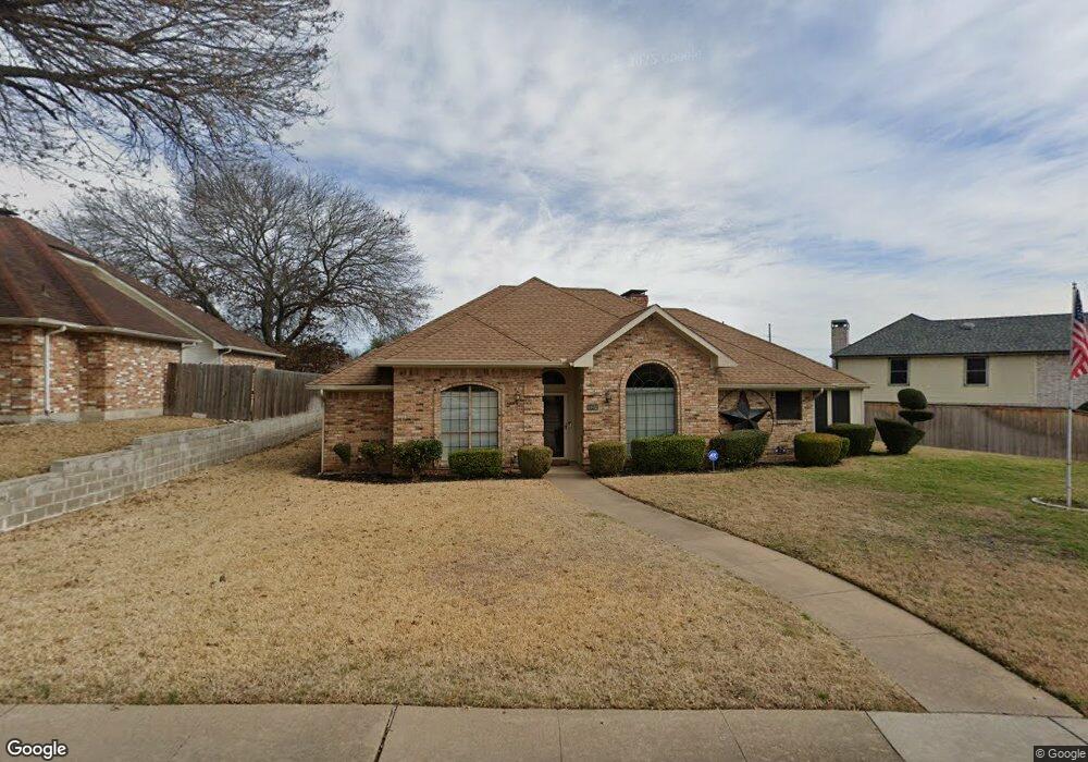
737 Havencrest Dr Desoto, TX 75115
Estimated Value: $326,368 - $343,000
3
Beds
3
Baths
2,473
Sq Ft
$136/Sq Ft
Est. Value
About This Home
This home is located at 737 Havencrest Dr, Desoto, TX 75115 and is currently estimated at $335,342, approximately $135 per square foot. 737 Havencrest Dr is a home located in Dallas County with nearby schools including The Meadows Elementary School, Ruby Young Talented and Gifted Academy, and Golden Rule Desoto.
Ownership History
Date
Name
Owned For
Owner Type
Purchase Details
Closed on
Jul 22, 2014
Sold by
Golden Harry W and Golden Carolyn
Bought by
Edwards Horace O and Edwards Asle
Current Estimated Value
Home Financials for this Owner
Home Financials are based on the most recent Mortgage that was taken out on this home.
Original Mortgage
$159,900
Outstanding Balance
$122,115
Interest Rate
4.23%
Mortgage Type
VA
Estimated Equity
$213,227
Purchase Details
Closed on
May 22, 2007
Sold by
Golden Phyllis R
Bought by
Golden Harry W
Create a Home Valuation Report for This Property
The Home Valuation Report is an in-depth analysis detailing your home's value as well as a comparison with similar homes in the area
Home Values in the Area
Average Home Value in this Area
Purchase History
| Date | Buyer | Sale Price | Title Company |
|---|---|---|---|
| Edwards Horace O | -- | None Available | |
| Golden Harry W | -- | None Available |
Source: Public Records
Mortgage History
| Date | Status | Borrower | Loan Amount |
|---|---|---|---|
| Open | Edwards Horace O | $159,900 |
Source: Public Records
Tax History Compared to Growth
Tax History
| Year | Tax Paid | Tax Assessment Tax Assessment Total Assessment is a certain percentage of the fair market value that is determined by local assessors to be the total taxable value of land and additions on the property. | Land | Improvement |
|---|---|---|---|---|
| 2025 | -- | $313,140 | $65,000 | $248,140 |
| 2024 | -- | $313,140 | $65,000 | $248,140 |
| 2023 | $7,281 | $316,130 | $65,000 | $251,130 |
| 2022 | $7,255 | $287,950 | $55,000 | $232,950 |
| 2021 | $5,958 | $220,130 | $40,000 | $180,130 |
| 2020 | $6,319 | $220,130 | $40,000 | $180,130 |
| 2019 | $5,886 | $205,230 | $40,000 | $165,230 |
| 2018 | $5,049 | $174,920 | $30,000 | $144,920 |
| 2017 | $4,404 | $154,020 | $24,000 | $130,020 |
| 2016 | $0 | $154,020 | $24,000 | $130,020 |
| 2015 | -- | $127,930 | $20,000 | $107,930 |
| 2014 | -- | $126,000 | $20,000 | $106,000 |
Source: Public Records
Map
Nearby Homes
- 628 Heather Knoll Dr
- 906 Heather Knoll Dr
- 900 Prairie Creek Dr
- 649 The Meadows Pkwy
- 950 Shady Cove Place
- 905 Pine Tree Ln
- 544 Renee Ln
- 544 Missionary Ridge
- 613 Worley Glen Ave
- 1014 Westlake Dr
- 634 Rickey Canyon Ave
- 520 Jeff Grimes Blvd
- 1018 Gracelane Dr
- 1032 Peach Ln
- 1044 Peach Ln
- 400 E Pleasant Run Rd
- 1028 Rosewood Dr
- 1135 Joanna Cir
- 634 Ray Ave
- 328 E Pleasant Run Rd
- 701 Creek Tree Dr
- 733 Havencrest Dr
- 729 Havencrest Dr
- 736 Robin Meadow Dr
- 732 Robin Meadow Dr
- 705 Creek Tree Dr
- 732 Havencrest Dr
- 728 Robin Meadow Dr
- 728 Havencrest Dr
- 725 Havencrest Dr
- 704 Creek Tree Dr
- 700 Creek Tree Dr
- 708 Creek Tree Dr
- 709 Creek Tree Dr
- 724 Robin Meadow Dr
- 640 Creek Tree Dr
- 724 Havencrest Dr
- 721 Havencrest Dr
- 636 Creek Tree Dr
- 712 Creek Tree Dr