74 Ridge Rd Freeport, ME 04032
Estimated Value: $981,582 - $1,204,000
4
Beds
3
Baths
2,652
Sq Ft
$400/Sq Ft
Est. Value
About This Home
This home is located at 74 Ridge Rd, Freeport, ME 04032 and is currently estimated at $1,060,896, approximately $400 per square foot. 74 Ridge Rd is a home located in Cumberland County with nearby schools including Morse Street School, Mast Landing School, and Freeport Middle School.
Ownership History
Date
Name
Owned For
Owner Type
Purchase Details
Closed on
Feb 22, 2024
Sold by
Edson Edwin G and Edson June K
Bought by
Junkins Jacob T
Current Estimated Value
Purchase Details
Closed on
May 24, 2023
Sold by
Edson Edwin G and Edson June K
Bought by
Junkins Terri E
Purchase Details
Closed on
Apr 9, 2013
Sold by
Edson Edwin G and Edson June K
Bought by
Justin M Fletcher Inc
Purchase Details
Closed on
Jul 28, 2010
Sold by
Edson Edwin G
Bought by
Freeport Conservation T and Edson
Create a Home Valuation Report for This Property
The Home Valuation Report is an in-depth analysis detailing your home's value as well as a comparison with similar homes in the area
Home Values in the Area
Average Home Value in this Area
Purchase History
| Date | Buyer | Sale Price | Title Company |
|---|---|---|---|
| Junkins Jacob T | -- | None Available | |
| Junkins Jacob T | -- | None Available | |
| Junkins Terri E | -- | None Available | |
| Junkins Terri E | -- | None Available | |
| Justin M Fletcher Inc | -- | -- | |
| Justin M Fletcher Inc | -- | -- | |
| Freeport Conservation T | -- | -- | |
| Freeport Conservation T | -- | -- |
Source: Public Records
Tax History Compared to Growth
Tax History
| Year | Tax Paid | Tax Assessment Tax Assessment Total Assessment is a certain percentage of the fair market value that is determined by local assessors to be the total taxable value of land and additions on the property. | Land | Improvement |
|---|---|---|---|---|
| 2024 | $8,417 | $630,500 | $192,600 | $437,900 |
| 2023 | $7,904 | $574,800 | $193,900 | $380,900 |
| 2022 | $7,662 | $561,300 | $180,400 | $380,900 |
| 2021 | $7,495 | $561,400 | $180,500 | $380,900 |
| 2020 | $6,962 | $522,300 | $167,900 | $354,400 |
| 2019 | $7,086 | $495,500 | $158,800 | $336,700 |
| 2018 | $6,452 | $460,700 | $149,100 | $311,600 |
| 2017 | $6,626 | $443,200 | $145,700 | $297,500 |
| 2016 | $6,499 | $411,300 | $135,300 | $276,000 |
| 2015 | $6,439 | $383,300 | $124,900 | $258,400 |
| 2014 | $6,059 | $383,500 | $125,100 | $258,400 |
| 2013 | $5,966 | $376,400 | $115,900 | $260,500 |
Source: Public Records
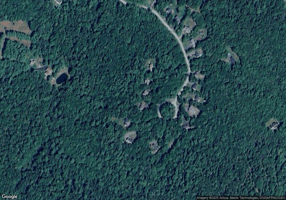
Map
Nearby Homes
- 34 Newfield Rd
- 15 Tinkers Way
- 0 Prout Rd
- 11 Orchard Hill Rd
- 1260 Us Route 1
- 31 Allen Range Rd
- 46 Blackstone Club Rd
- 853 Mere Point Rd
- 83 Central Ave
- 212 Main St
- 46 Casco Rd
- 5 Round Hill Ln
- 57 Crestview Ln
- 0 Gundalo Gap Rd Unit 1638108
- 1595 U S Route 1
- 1612 U S Route 1
- Map 80 Lot 18-0 White Island
- 42 Durham Rd
- 10 Durham Rd
- 15 Percy St
- 14 Newfield Rd
- Lot 12 Newfield Rd
- 12 Newfield Rd
- 40 Newfield Rd
- Lot21-40 Newfield Rd
- 42 Newfield Rd
- 10 Newfield Road Lot 27
- 10 Newfield Rd
- 34 Newfield Rd Unit Lot23
- 36 Newfield Rd Unit Lot22
- 32 Newfield Rd Unit Lot24
- 32 Newfield Rd
- Lot#19 Newfield Rd
- Lot 19 Newfield Rd
- Lot 17 Newfield Rd
- 44 Newfield Rd
- 8 Newfield Rd
- 33 Ridge Rd
- Lot 13 Newfield Rd
- Lot 11 Newfield Rd