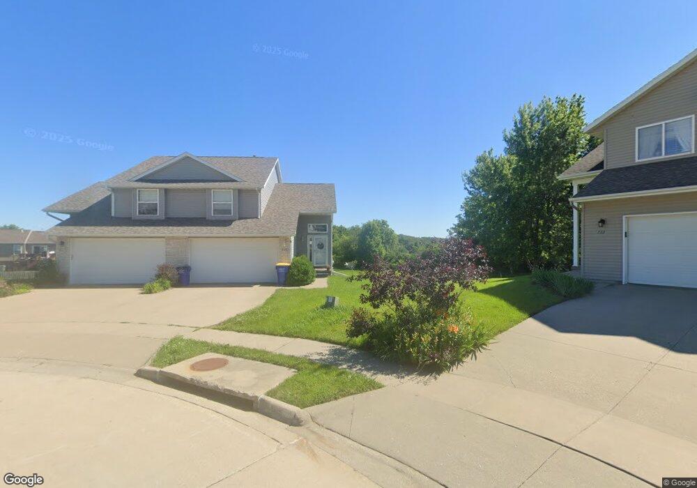
740 Andy Ct Unit B North Liberty, IA 52317
Estimated Value: $250,000 - $296,000
3
Beds
2
Baths
1,856
Sq Ft
$146/Sq Ft
Est. Value
About This Home
This home is located at 740 Andy Ct Unit B, North Liberty, IA 52317 and is currently estimated at $271,000, approximately $146 per square foot. 740 Andy Ct Unit B is a home located in Johnson County with nearby schools including Penn Elementary School, North Central Junior High School, and Liberty High School.
Ownership History
Date
Name
Owned For
Owner Type
Purchase Details
Closed on
Apr 26, 2010
Sold by
Mannatt Jonathan J and Manatt Samantha
Bought by
Zimmerman Michael A
Current Estimated Value
Home Financials for this Owner
Home Financials are based on the most recent Mortgage that was taken out on this home.
Original Mortgage
$165,510
Outstanding Balance
$110,345
Interest Rate
5.02%
Mortgage Type
New Conventional
Estimated Equity
$160,655
Purchase Details
Closed on
Apr 29, 2006
Sold by
Johnson Christopher J
Bought by
Manatt Jonathan J and Grier Samantha
Create a Home Valuation Report for This Property
The Home Valuation Report is an in-depth analysis detailing your home's value as well as a comparison with similar homes in the area
Home Values in the Area
Average Home Value in this Area
Purchase History
| Date | Buyer | Sale Price | Title Company |
|---|---|---|---|
| Zimmerman Michael A | $162,500 | None Available | |
| Manatt Jonathan J | $154,500 | None Available |
Source: Public Records
Mortgage History
| Date | Status | Borrower | Loan Amount |
|---|---|---|---|
| Open | Zimmerman Michael A | $165,510 |
Source: Public Records
Tax History Compared to Growth
Tax History
| Year | Tax Paid | Tax Assessment Tax Assessment Total Assessment is a certain percentage of the fair market value that is determined by local assessors to be the total taxable value of land and additions on the property. | Land | Improvement |
|---|---|---|---|---|
| 2025 | $4,360 | $274,400 | $53,400 | $221,000 |
| 2024 | $4,268 | $253,600 | $53,400 | $200,200 |
| 2023 | $4,194 | $253,600 | $53,400 | $200,200 |
| 2022 | $3,978 | $216,200 | $26,700 | $189,500 |
| 2021 | $3,674 | $216,200 | $26,700 | $189,500 |
| 2020 | $3,674 | $199,000 | $26,700 | $172,300 |
| 2019 | $3,674 | $199,000 | $26,700 | $172,300 |
| 2018 | $3,600 | $199,000 | $26,700 | $172,300 |
| 2017 | $3,108 | $199,000 | $26,700 | $172,300 |
| 2016 | $3,022 | $172,100 | $26,700 | $145,400 |
| 2015 | $3,022 | $172,100 | $26,700 | $145,400 |
| 2014 | $2,930 | $166,600 | $28,200 | $138,400 |
Source: Public Records
Map
Nearby Homes
- 740 Molly Dr
- 667 Andy Ct
- 662 Molly Dr
- 435 E Jefferson St
- 320 E Jefferson St
- 622 Emily St
- 70 Jefferson Ln Unit 70
- Mehaffey Mehaffey Bridge Rd NE Unit Mehaffey Bridge Road
- 2550 N Liberty Rd NE
- 280 N Juniper St
- 110 Whitman Ave
- 25 Ash Ct
- 155 N Front St
- 2343 Lake Ridge Place NE
- 425 Stewart St
- 270 & 280 Chestnut St
- 1105 Millie Ln
- 1103 Millie Ln
- 1101 Millie Ln
- 200 Juniper Ct