7400 NW Highway 225a Ocala, FL 34482
Fellowship NeighborhoodEstimated Value: $755,000 - $1,593,895
3
Beds
2
Baths
2,299
Sq Ft
$532/Sq Ft
Est. Value
About This Home
This home is located at 7400 NW Highway 225a, Ocala, FL 34482 and is currently estimated at $1,223,474, approximately $532 per square foot. 7400 NW Highway 225a is a home located in Marion County with nearby schools including Fessenden Elementary School, North Marion Middle School, and West Port High School.
Ownership History
Date
Name
Owned For
Owner Type
Purchase Details
Closed on
Oct 29, 2019
Sold by
Barrows Jay A and Barrows Dee Ann
Bought by
Johnson Trust Company and Barrows Residence Trust
Current Estimated Value
Purchase Details
Closed on
Jul 13, 2006
Sold by
Waller Michael J
Bought by
Barrows Jay A and Barrows Dee Ann
Purchase Details
Closed on
May 10, 2001
Sold by
Scott Armstrong
Bought by
Waller Michael J and The Michael J Waller Trust
Create a Home Valuation Report for This Property
The Home Valuation Report is an in-depth analysis detailing your home's value as well as a comparison with similar homes in the area
Home Values in the Area
Average Home Value in this Area
Purchase History
| Date | Buyer | Sale Price | Title Company |
|---|---|---|---|
| Johnson Trust Company | -- | Accommodation | |
| Barrows Jay A | $800,000 | First American Title Ins Co | |
| Waller Michael J | $150,000 | Cornerstone Title Llc |
Source: Public Records
Tax History Compared to Growth
Tax History
| Year | Tax Paid | Tax Assessment Tax Assessment Total Assessment is a certain percentage of the fair market value that is determined by local assessors to be the total taxable value of land and additions on the property. | Land | Improvement |
|---|---|---|---|---|
| 2024 | $3,596 | $249,060 | -- | -- |
| 2023 | $3,496 | $240,911 | $0 | $0 |
| 2022 | $3,434 | $235,875 | $0 | $0 |
| 2021 | $3,474 | $231,374 | $0 | $0 |
| 2020 | $3,484 | $230,406 | $0 | $0 |
| 2019 | $3,476 | $227,767 | $0 | $0 |
| 2018 | $3,300 | $224,634 | $0 | $0 |
| 2017 | $3,275 | $222,188 | $0 | $222,188 |
| 2016 | $3,296 | $220,298 | $0 | $0 |
| 2015 | $3,317 | $216,167 | $0 | $0 |
| 2014 | $2,571 | $182,499 | $0 | $0 |
Source: Public Records
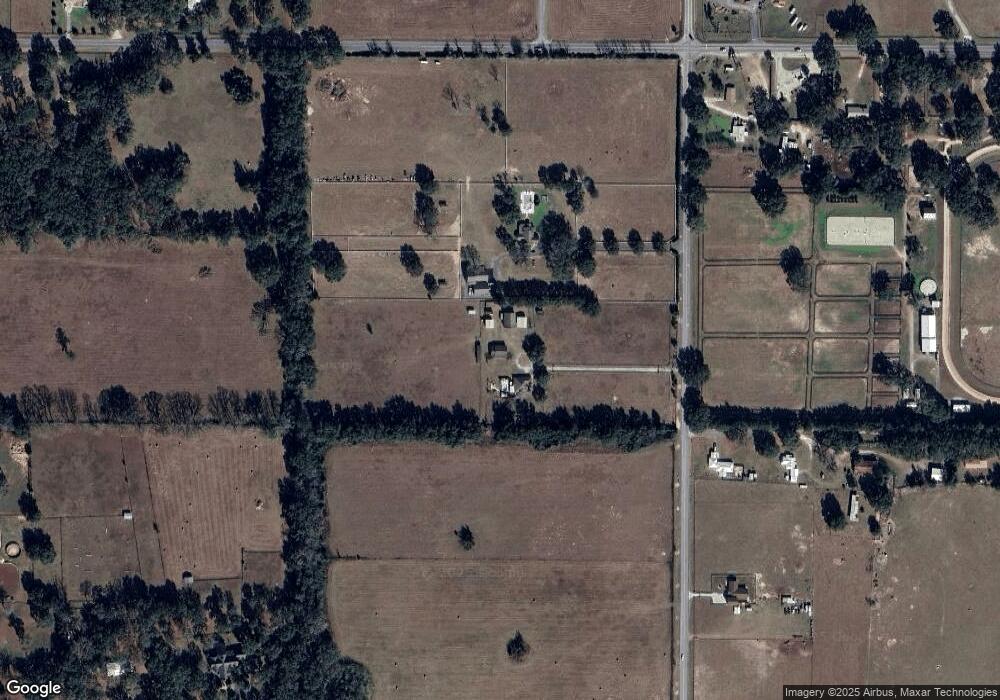
Map
Nearby Homes
- 13009-001-22 Hwy 326 and 225a
- 6925 NW Highway 225a
- 7940 W Highway 326
- 6301 W Highway 326
- 6299 NW 61st Ave
- 6190 W Highway 326
- 6441 NW 65th Ave
- 6160 W Hwy 326
- 6160 W Highway 326
- 6848 NW 60th St
- 6610 NW 61st St
- 6609 NW 60th St
- 0 NW 61 Ln
- TBD NW 54 Loop
- 0 NW 60th Ct
- 6475 NW 61st Ave
- 0 W Highway 326 Unit MFROM696552
- 5383 NW 48th Place
- 5365 NW 46th Lane Rd
- 4738 NW 51st Ct
- 6974 NW 73rd Place
- 7520 NW Highway 225a
- 7231 NW Highway 225a
- 7635 NW Highway 225a Unit 7625
- 6724 NW 73rd Ln
- 0 Hwy 326 and Hwy 225a Unit OM637239
- 7040 NW Highway 225a
- 6888 W Highway 326
- 7075 NW Highway 225a
- 6835 NW 73rd Ln
- 7030 NW Highway 225a
- 6900 NW 73rd Place
- 7151 NW 69th St
- 7311 W Highway 326
- 7275 W Highway 326
- 7388 W Highway 326
- 7363 W Highway 326
- 7291 W Highway 326
- 7275 NW 69th St
- 6975 NW Highway 225a