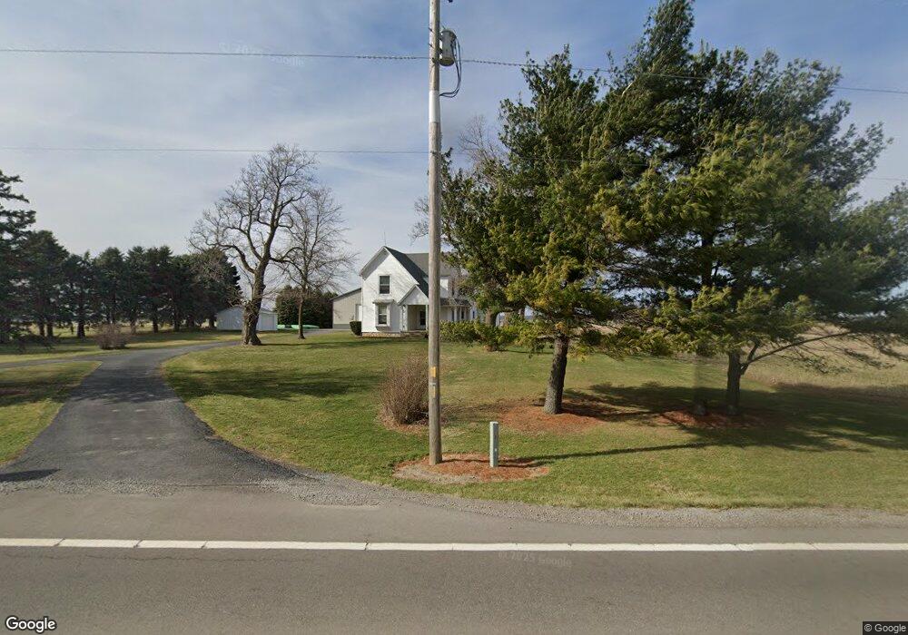
7406 W State Route 12 Findlay, OH 45840
Estimated Value: $337,509 - $427,000
4
Beds
2
Baths
1,930
Sq Ft
$193/Sq Ft
Est. Value
About This Home
This home is located at 7406 W State Route 12, Findlay, OH 45840 and is currently estimated at $372,127, approximately $192 per square foot. 7406 W State Route 12 is a home located in Hancock County with nearby schools including Liberty-Benton Elementary School, Liberty-Benton Middle School, and Liberty-Benton High School.
Ownership History
Date
Name
Owned For
Owner Type
Purchase Details
Closed on
Mar 1, 2021
Sold by
Messmer Bradford S and Messmer Monica L
Bought by
Messmer Jacob L and Messmer Jordan M
Current Estimated Value
Purchase Details
Closed on
Mar 6, 1989
Bought by
Messmer Bradford S and Messmer Monica L
Purchase Details
Closed on
Apr 13, 1987
Bought by
Parke Steven J and Betty Ann
Create a Home Valuation Report for This Property
The Home Valuation Report is an in-depth analysis detailing your home's value as well as a comparison with similar homes in the area
Home Values in the Area
Average Home Value in this Area
Purchase History
| Date | Buyer | Sale Price | Title Company |
|---|---|---|---|
| Messmer Jacob L | -- | None Available | |
| Messmer Bradford S | $52,000 | -- | |
| Parke Steven J | $49,800 | -- |
Source: Public Records
Tax History Compared to Growth
Tax History
| Year | Tax Paid | Tax Assessment Tax Assessment Total Assessment is a certain percentage of the fair market value that is determined by local assessors to be the total taxable value of land and additions on the property. | Land | Improvement |
|---|---|---|---|---|
| 2024 | $2,621 | $70,190 | $17,600 | $52,590 |
| 2023 | $2,560 | $70,190 | $17,600 | $52,590 |
| 2022 | $2,535 | $70,190 | $17,600 | $52,590 |
| 2021 | $2,153 | $52,600 | $15,400 | $37,200 |
| 2020 | $2,171 | $52,600 | $15,400 | $37,200 |
| 2019 | $1,851 | $46,680 | $15,400 | $31,280 |
| 2018 | $1,479 | $41,280 | $12,830 | $28,450 |
| 2017 | $1,526 | $41,280 | $12,830 | $28,450 |
| 2016 | $1,496 | $41,280 | $12,830 | $28,450 |
| 2015 | $1,219 | $32,660 | $12,830 | $19,830 |
| 2014 | $1,230 | $32,660 | $12,830 | $19,830 |
| 2012 | $1,193 | $30,700 | $12,830 | $17,870 |
Source: Public Records
Map
Nearby Homes
- 7780 Township Road 89
- 11741 Township Road 10
- 9307 W State Route 12
- 10601 County Road 9
- 9653 Early Dr
- 9307 Hiegel Dr
- 9984 State Route 235
- 3833 Bearcat Way
- 2201 W Main Cross St
- 0 Bushwillow Dr Unit Lot 154
- 0 Bushwillow Dr Lot 156 Unit 6079046
- 0 Rock Candy Rd Lot 162 Unit 6079070
- 0 Bushwillow Dr Unit Lot 156
- 0 Bearcat Way Or 0 Rock Candy Rd Lot 167 Unit 6079083
- 0 Bushwillow Dr Lot 154 Unit 6079043
- 0 Rock Candy Rd Lot 171 Unit 6079088
- 0 County Road 99 Lot 2 Unit 6081480
- 0 Rock Candy Rd Lot 159 Unit 6079053
- 0 Bushwillow Dr Or Rock Candy Rd Lot 157 Unit 6079052
- 0 Bushwillow Dr Unit Lot 155
- 7300 W State Route 12
- 7300 Ohio 12
- 7227 W State Route 12
- 9744 Township Road 130
- 7069 W State Route 12
- 10353 Township Road 130
- 9568 Township Road 130
- 7299 County Road 86
- 6992 W State Route 12
- 6987 W State Route 12
- 6987 W State Route 12
- 10056 Township Road 10
- 6982 W State Route 12
- 6982 State Route
- 6964 Ohio 12
- 6959 W State Route 12
- 6964 W State Route 12
- 6943 W State Route 12
- 6948 W State Route 12
- 6931 W State Route 12