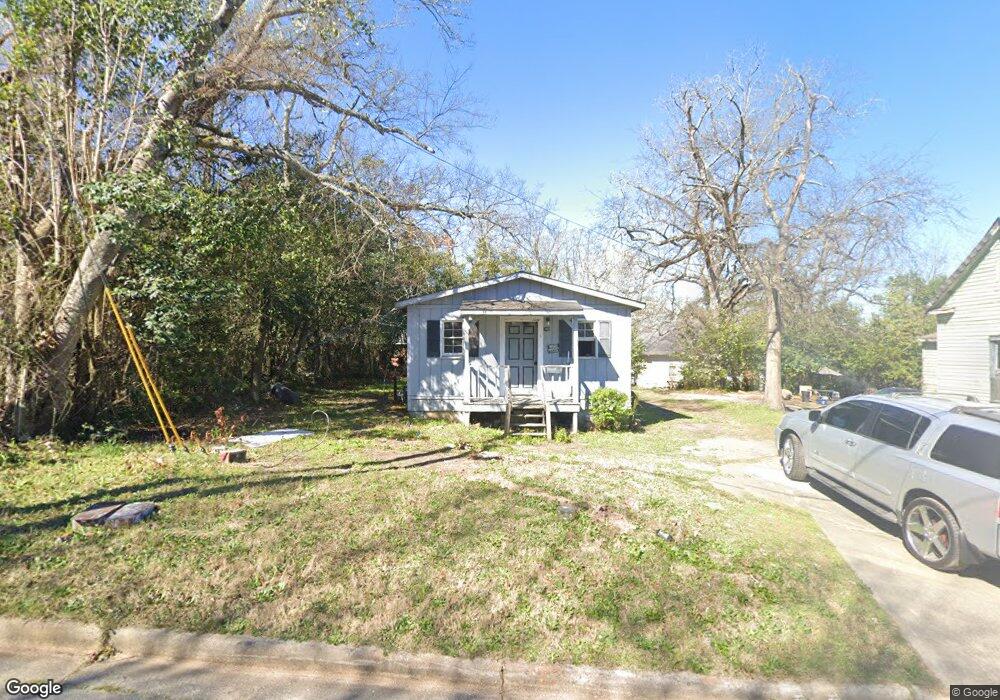
742 Smith St Macon, GA 31217
Fort Hill Historic District NeighborhoodEstimated Value: $21,126 - $101,000
4
Beds
2
Baths
992
Sq Ft
$80/Sq Ft
Est. Value
About This Home
This home is located at 742 Smith St, Macon, GA 31217 and is currently estimated at $79,282, approximately $79 per square foot. 742 Smith St is a home located in Bibb County with nearby schools including Burdell Elementary School, Appling Middle School, and Northeast High School.
Ownership History
Date
Name
Owned For
Owner Type
Purchase Details
Closed on
Dec 10, 2021
Sold by
Jones Richard Lee
Bought by
Onr Property Management & Investment Llc
Current Estimated Value
Purchase Details
Closed on
Aug 12, 2015
Sold by
West Robert E
Bought by
Jones Richard Lee
Purchase Details
Closed on
Mar 15, 1983
Sold by
Pearlie Roberson and Queen Esther Perry
Bought by
West Robert E
Create a Home Valuation Report for This Property
The Home Valuation Report is an in-depth analysis detailing your home's value as well as a comparison with similar homes in the area
Home Values in the Area
Average Home Value in this Area
Purchase History
| Date | Buyer | Sale Price | Title Company |
|---|---|---|---|
| Onr Property Management & Investment Llc | $16,000 | None Available | |
| Onr Property Management And Investment Llc | $16,000 | None Listed On Document | |
| Jones Richard Lee | $18,000 | None Available | |
| West Robert E | $7,000 | -- |
Source: Public Records
Tax History Compared to Growth
Tax History
| Year | Tax Paid | Tax Assessment Tax Assessment Total Assessment is a certain percentage of the fair market value that is determined by local assessors to be the total taxable value of land and additions on the property. | Land | Improvement |
|---|---|---|---|---|
| 2025 | $147 | $5,989 | $3,498 | $2,491 |
| 2024 | $130 | $5,122 | $2,880 | $2,242 |
| 2023 | $110 | $4,342 | $2,100 | $2,242 |
| 2022 | $222 | $7,383 | $3,500 | $3,883 |
| 2021 | $260 | $6,829 | $1,312 | $5,517 |
| 2020 | $244 | $6,277 | $1,312 | $4,965 |
| 2019 | $224 | $5,726 | $1,312 | $4,414 |
| 2018 | $703 | $5,726 | $1,312 | $4,414 |
| 2017 | $215 | $5,726 | $1,312 | $4,414 |
| 2016 | $198 | $5,726 | $1,312 | $4,414 |
| 2015 | $187 | $5,726 | $1,312 | $4,414 |
| 2014 | -- | $6,917 | $1,400 | $5,517 |
Source: Public Records
Map
Nearby Homes
- 768 Maynard St
- 348 Woolfolk St
- 734 Fort Hill St
- 760 Cowan St
- 735 Maynard St
- 658 Pringle St
- 774 Maynard St
- 866 Stewart St
- 738 Hall St
- 727 Smith St
- 845 Norris St
- 751 Mitchell St
- 857 Mitchell St
- 722 Mitchell St
- 972 Norris St
- 725 Schaeffer Place
- 506 Willingham Ct
- 508 Willingham Ct
- 1012 Emery Hwy
- 1024 Clarks Ln
- 756 Smith St
- 733 Fort Hill St
- 745 Fort Hill St
- 774 Smith St
- 755 Fort Hill St
- 743 Smith St
- 755 Smith St
- 769 Fort Hill St
- 4548 "Temporary Address" Unit 4548 Sylvester Circl
- 1869 "Temporary Address"
- 786 Smith St
- 777 Smith St
- 794 Smith St
- 744 Maynard St
- 787 Smith St
- 730 Maynard St
- 760 Maynard St
- 721 Cowan St
- 724 Maynard St
- 724 Maynard St Unit 2