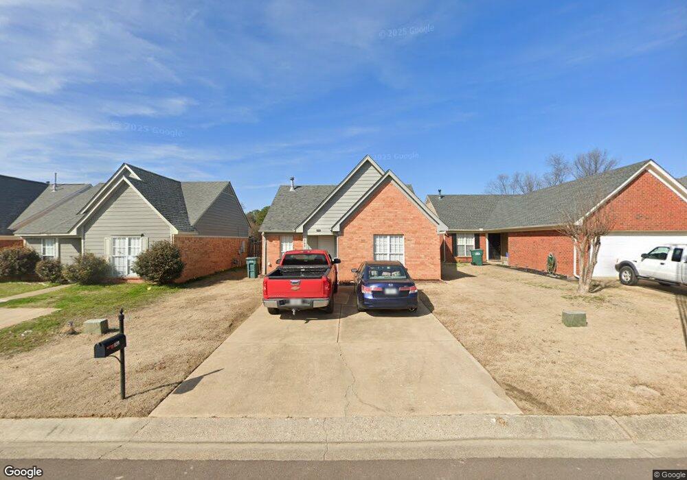
742 We Ross Pkwy Southaven, MS 38671
Estimated Value: $195,000 - $244,000
3
Beds
2
Baths
1,155
Sq Ft
$183/Sq Ft
Est. Value
About This Home
This home is located at 742 We Ross Pkwy, Southaven, MS 38671 and is currently estimated at $210,972, approximately $182 per square foot. 742 We Ross Pkwy is a home located in DeSoto County with nearby schools including Hope Sullivan Elementary School, Southaven Intermediate School, and Southaven Middle School.
Ownership History
Date
Name
Owned For
Owner Type
Purchase Details
Closed on
Jan 30, 2025
Sold by
Booth Ralph D and Booth Mellissa Lynn
Bought by
Ward Landon J and Ward Madison
Current Estimated Value
Home Financials for this Owner
Home Financials are based on the most recent Mortgage that was taken out on this home.
Original Mortgage
$6,210
Outstanding Balance
$1,900
Interest Rate
6.72%
Mortgage Type
New Conventional
Estimated Equity
$209,072
Purchase Details
Closed on
Nov 4, 2022
Sold by
Booth Ralph D
Bought by
Booth Ralph D
Create a Home Valuation Report for This Property
The Home Valuation Report is an in-depth analysis detailing your home's value as well as a comparison with similar homes in the area
Home Values in the Area
Average Home Value in this Area
Purchase History
| Date | Buyer | Sale Price | Title Company |
|---|---|---|---|
| Ward Landon J | -- | Guardian Title | |
| Booth Ralph D | -- | -- |
Source: Public Records
Mortgage History
| Date | Status | Borrower | Loan Amount |
|---|---|---|---|
| Open | Ward Landon J | $6,210 | |
| Open | Ward Landon J | $200,790 |
Source: Public Records
Tax History Compared to Growth
Tax History
| Year | Tax Paid | Tax Assessment Tax Assessment Total Assessment is a certain percentage of the fair market value that is determined by local assessors to be the total taxable value of land and additions on the property. | Land | Improvement |
|---|---|---|---|---|
| 2024 | $1,220 | $8,373 | $2,500 | $5,873 |
| 2023 | $1,220 | $8,373 | $0 | $0 |
| 2022 | $1,788 | $12,559 | $3,750 | $8,809 |
| 2021 | $1,788 | $12,559 | $3,750 | $8,809 |
| 2020 | $1,688 | $11,855 | $3,750 | $8,105 |
| 2019 | $1,688 | $11,855 | $3,750 | $8,105 |
| 2017 | $1,660 | $19,444 | $11,597 | $7,847 |
| 2016 | $1,660 | $11,597 | $3,750 | $7,847 |
| 2015 | $1,652 | $19,444 | $11,597 | $7,847 |
| 2014 | $1,660 | $11,597 | $0 | $0 |
| 2013 | $1,695 | $11,597 | $0 | $0 |
Source: Public Records
Map
Nearby Homes
- 672 Grant Dr
- 5448 Pollard Dr
- 5353 Pollard Dr
- 5379 Bradley Dr
- 5353 Kristy Ln
- 5330 Kalian Cove
- 5339 Kristy Ln
- 0 Pepper Chase Dr
- 5893 Kayla Dr
- 5381 Peppermill Dr
- 5393 Peppermill Dr
- 5512 Alexandria Ln
- 6275 U S Highway 51
- 1652 Thomas St
- 1664 Thomas St
- 406 Venture Dr
- 1784 Thomas St
- 6433 Arbor Lake Dr W
- 1876 Greeno Dr
- 1926 Tissington Dr
- 734 We Ross Pkwy
- 734 W East Ross Pkwy
- 748 W East Ross Pkwy
- 748 We Ross Pkwy
- 726 We Ross Pkwy
- 756 W East Ross Pkwy
- 756 We Ross Pkwy
- 764 W East Ross Pkwy
- 764 We Ross Pkwy
- 772 W East Ross Pkwy
- 772 We Ross Pkwy
- 734 Grant Dr
- 778 W East Ross Pkwy
- 778 We Ross Pkwy
- 754 Grant Dr
- 5575 Lexy Ln
- 5585 Lexy Ln
- 5593 Lexy Ln
- 760 Grant Dr
- 5601 Lexy Ln