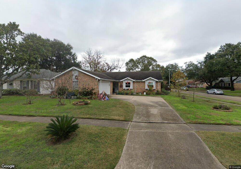
7423 Burning Tree Dr Houston, TX 77036
Sharpstown NeighborhoodEstimated Value: $285,901 - $308,000
3
Beds
3
Baths
1,728
Sq Ft
$172/Sq Ft
Est. Value
About This Home
This home is located at 7423 Burning Tree Dr, Houston, TX 77036 and is currently estimated at $296,975, approximately $171 per square foot. 7423 Burning Tree Dr is a home located in Harris County with nearby schools including Neff Elementary School, Sugar Grove Academy, and Sharpstown High School.
Ownership History
Date
Name
Owned For
Owner Type
Purchase Details
Closed on
Jun 5, 2013
Sold by
Robbins Maxine Haggerty
Bought by
Mancilla Jaymar
Current Estimated Value
Purchase Details
Closed on
Sep 21, 1994
Sold by
Robbins Maxine Haggerty and Robbins Ralph Lafette
Bought by
Robbins Maxine Haggerty
Create a Home Valuation Report for This Property
The Home Valuation Report is an in-depth analysis detailing your home's value as well as a comparison with similar homes in the area
Home Values in the Area
Average Home Value in this Area
Purchase History
| Date | Buyer | Sale Price | Title Company |
|---|---|---|---|
| Mancilla Jaymar | -- | None Available | |
| Robbins Maxine Haggerty | -- | -- |
Source: Public Records
Tax History Compared to Growth
Tax History
| Year | Tax Paid | Tax Assessment Tax Assessment Total Assessment is a certain percentage of the fair market value that is determined by local assessors to be the total taxable value of land and additions on the property. | Land | Improvement |
|---|---|---|---|---|
| 2025 | $3,330 | $271,075 | $134,730 | $136,345 |
| 2024 | $3,330 | $254,843 | $97,305 | $157,538 |
| 2023 | $2,807 | $258,125 | $97,305 | $160,820 |
| 2022 | $4,722 | $227,222 | $59,880 | $167,342 |
| 2021 | $4,385 | $188,132 | $59,880 | $128,252 |
| 2020 | $4,867 | $194,558 | $59,880 | $134,678 |
| 2019 | $4,954 | $189,776 | $44,910 | $144,866 |
| 2018 | $3,455 | $184,655 | $44,910 | $139,745 |
| 2017 | $4,635 | $177,669 | $44,910 | $132,759 |
| 2016 | $4,221 | $173,101 | $44,910 | $128,191 |
| 2015 | $2,585 | $155,204 | $44,910 | $110,294 |
| 2014 | $2,585 | $133,732 | $44,910 | $88,822 |
Source: Public Records
Map
Nearby Homes
- 7302 Burning Tree Dr
- 7302 Redding Rd
- 8530 Roos Rd
- 7303 Augustine Dr
- 8418 Hazen St
- 8818 Roos Rd
- 8826 Rowan Ln
- 8515 Edgemoor Dr
- 8527 Edgemoor Dr
- 8902 Langdon Ln
- 8218 Hazen St
- 8119 Concho St
- 8923 Hendon Ln
- 8314 Edgemoor Dr
- 8019 Sharpview Dr
- 9006 Roos Rd
- 8826 Tanager St
- 9223 Sandstone St
- 8222 La Roche Ln
- 8918 Grape St
- 7419 Burning Tree Dr
- 8502 Triola Ln
- 7415 Burning Tree Dr
- 8511 Triola Ln
- 8515 Triola Ln
- 8507 Triola Ln
- 8422 Triola Ln
- 7411 Burning Tree Dr
- 7426 Burning Tree Dr
- 8519 Triola Ln
- 7422 Burning Tree Dr
- 8503 Triola Ln
- 7418 Burning Tree Dr
- 8418 Triola Ln
- 7407 Burning Tree Dr
- 8523 Triola Ln
- 7414 Burning Tree Dr
- 8503 Sharpview Dr
- 8419 Triola Ln
- 8422 Carvel Ln