7460 Brookside St Louisville, OH 44641
Estimated Value: $204,196 - $252,000
3
Beds
2
Baths
1,452
Sq Ft
$157/Sq Ft
Est. Value
About This Home
This home is located at 7460 Brookside St, Louisville, OH 44641 and is currently estimated at $227,549, approximately $156 per square foot. 7460 Brookside St is a home located in Stark County with nearby schools including Louisville High School and St. Thomas Aquinas High School & Middle School.
Ownership History
Date
Name
Owned For
Owner Type
Purchase Details
Closed on
Nov 6, 2001
Sold by
Duplain Daniel J and Duplain Jina R
Bought by
Humphrey Sandra L
Current Estimated Value
Home Financials for this Owner
Home Financials are based on the most recent Mortgage that was taken out on this home.
Original Mortgage
$125,400
Outstanding Balance
$49,012
Interest Rate
6.72%
Mortgage Type
Purchase Money Mortgage
Estimated Equity
$178,537
Purchase Details
Closed on
Jul 25, 1991
Create a Home Valuation Report for This Property
The Home Valuation Report is an in-depth analysis detailing your home's value as well as a comparison with similar homes in the area
Home Values in the Area
Average Home Value in this Area
Purchase History
| Date | Buyer | Sale Price | Title Company |
|---|---|---|---|
| Humphrey Sandra L | $132,000 | Cta | |
| -- | $65,000 | -- |
Source: Public Records
Mortgage History
| Date | Status | Borrower | Loan Amount |
|---|---|---|---|
| Open | Humphrey Sandra L | $125,400 |
Source: Public Records
Tax History Compared to Growth
Tax History
| Year | Tax Paid | Tax Assessment Tax Assessment Total Assessment is a certain percentage of the fair market value that is determined by local assessors to be the total taxable value of land and additions on the property. | Land | Improvement |
|---|---|---|---|---|
| 2025 | -- | $46,630 | $15,300 | $31,330 |
| 2024 | -- | $46,630 | $15,300 | $31,330 |
| 2023 | $1,430 | $38,570 | $12,390 | $26,180 |
| 2022 | $1,456 | $38,570 | $12,390 | $26,180 |
| 2021 | $1,460 | $38,570 | $12,390 | $26,180 |
| 2020 | $1,550 | $33,470 | $11,170 | $22,300 |
| 2019 | $1,550 | $33,470 | $11,170 | $22,300 |
| 2018 | $1,551 | $33,470 | $11,170 | $22,300 |
| 2017 | $1,777 | $36,620 | $8,370 | $28,250 |
| 2016 | $1,738 | $36,620 | $8,370 | $28,250 |
| 2015 | $1,742 | $36,620 | $8,370 | $28,250 |
| 2014 | $1,750 | $34,030 | $7,770 | $26,260 |
| 2013 | $878 | $34,030 | $7,770 | $26,260 |
Source: Public Records
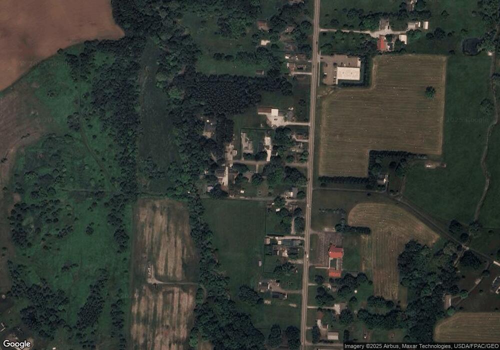
Map
Nearby Homes
- 5474 Ravenna Ave
- 524 Glenbar St
- 0 Glenbar St
- 316 E Reno Dr
- 614 Reno Dr
- 3580 Brookridge Ave Lot 15
- 0 Brookridge Ave
- 428 Honeycrisp Dr NE
- 3047 Mcintosh Dr NE
- 432 Honeycrisp Dr NE
- 2962 Mcintosh Dr NE
- 2963 Mcintosh Dr NE
- 430 Honeycrisp Dr NE
- 2957 Mcintosh Dr NE
- 910 Crosswyck Cir
- 300 Kennedy St
- 1170 Winding Ridge Ave
- 1175 Sturbridge Dr
- 1149 Sturbridge Dr
- 325 Lincoln Ave
- 7444 Brookside St
- 7476 Brookside St
- 7424 Brookside St
- 7422 Brookside St
- 7473 Brookside St
- 7422 Brookside St NE
- 7441 Brookside St
- 7465 Brookside St
- 5601 Ravenna Ave
- 7500 Brookside St
- 5609 Ravenna Ave
- 7487 Brookside St
- 5591 Ravenna Ave
- 5649 Ravenna Ave
- 5577 Ravenna Ave
- 5661 Ravenna Ave
- 7425 Brookside St
- 5673 Ravenna Ave
- 5553 Ravenna Ave
- 5685 Ravenna Ave